Winkelwagen
Geen items in winkelwagen
Ga naar winkelwagen
Topografische kaarten - Europa
 Topografische kaart 26 MT50 Boal | CNIG - Instituto Geográfico Nacional1
 Wandelkaart - Topografische kaart 26 Atlaskort Borgarfjordur | Ferdakort
 Fietskaart - Topografische kaart - Wegenkaart - landkaart 26 Basel | Swisstopo
 Topografische kaart - Wandelkaart 26 Discovery Cavan, Fermanagh, Leitrim, Roscommon & Sligo Map | Ordnance Survey Ireland
 Topografische kaart - Wandelkaart 26 Topo50 Genk | NGI - Nationaal Geografisch Instituut
 Topografische kaart - Wandelkaart 26/1-2 Topo25 AS | NGI - Nationaal Geografisch Instituut
 Wandelkaart - Topografische kaart 260 OS Explorer Map Nottingham | Ordnance Survey
 Wandelkaart - Topografische kaart 260 St-Cerque | Swisstopo
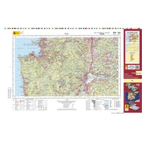 Topografische kaart 260/261 MT50 Tui | CNIG - Instituto Geográfico Nacional1
 Wandelkaart - Topografische kaart 2605 SB - Serie Bleue Condé-sur-l'Escaut, St-Amand-les-Eaux | IGN - Institut Géographique National
 Wandelkaart - Topografische kaart 2606 SB - Serie Bleue Valenciennes - Denain | IGN - Institut Géographique National
 Wandelkaart - Topografische kaart 2607 SB - Serie Bleue Le Cateau-Cambrésis, Caudry | IGN - Institut Géographique National
 Wandelkaart - Topografische kaart 2608 SB - Serie Bleue Bohain-en-Vermandois, Guise | IGN - Institut Géographique National
 Wandelkaart - Topografische kaart 2609 SB - Serie Bleue Ribemont - Saint Quentin | IGN - Institut Géographique National
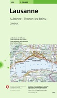 Wandelkaart - Topografische kaart 261 Lausanne | Swisstopo
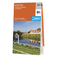 Wandelkaart - Topografische kaart 261 OS Explorer Map Boston | Ordnance Survey
 Wandelkaart - Topografische kaart 2610 SB - Serie Bleue Tergnier, Forêt de St-Gobain et Coucy Basse | IGN - Institut Géographique National
 Wandelkaart - Topografische kaart 2611 SB - Serie Bleue Braine - Soissons | IGN - Institut Géographique National
 Wandelkaart - Topografische kaart 2612 SB - Serie Bleue Fère-en-Tardenois, Neuilly-St-Front | IGN - Institut Géographique National
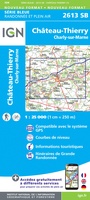 Wandelkaart - Topografische kaart 2613 SB - Serie Bleue Château-Thierry, Charly-sur-Marne | IGN - Institut Géographique National★★★★★
Laatste reviews

Goede kaart, maar weinig meerwaarde boven de 1:200.000-kaart
Op zich een goede kaart, maar het is eigenlijk gewoon een uitvergroting van de bekende 1:200.000-kaarten, dus weinig tot geen extra informatie. Wel wat duidelijker …
★★★★★ door FGM Ballhaus 13 mei 2026 | Heeft dit artikel gekocht
Iets te grote schaal voor wandelen, maar verder een goede kaart voor wandelen en fietsen
Duidelijke kaart, goed voor fietsen, iets minder voor wandelen door de schaal, maar er is heel weinig kaartmateriaal voor dit gebied dus daarom toch dik …
★★★★★ door FGM Ballhaus 13 mei 2026 | Heeft dit artikel gekocht
Goede fietskaart voor nét over de grens
Fietskaart is een goede aanvulling op de Nederlandse fietskaarten, laat de Achterhoek zien maar ook een heel stuk Duitsland in (naar het oosten). Kwalitatief ook …
★★★★★ door FGM Ballhaus 13 mei 2026 | Heeft dit artikel gekocht
Leuk informatief boek, precieze route goed weergegeven.
Keurig verpakt, snel verzonden. Boek voldoet aan mijn verwachtingen!
★★★★★ door Beatrice 12 mei 2026 | Heeft dit artikel gekocht