Winkelwagen
Geen items in winkelwagen
Ga naar winkelwagen
Topografische kaarten - Europa
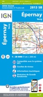 Wandelkaart - Topografische kaart 2813 SB - Serie Bleue Epernay-Verzy | IGN - Institut Géographique National
 Wandelkaart - Topografische kaart 2814 SB - Serie Bleue Thibie - Vertus | IGN - Institut Géographique National
 Wandelkaart - Topografische kaart 2815 SB - Serie Bleue Mailly-le-Camp, Fère-Champenoise | IGN - Institut Géographique National
 Wandelkaart - Topografische kaart 2816 SB - Serie Bleue Arcis-sur-Aube, Plancy-l'Abbaye | IGN - Institut Géographique National
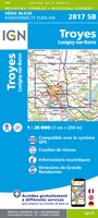 Wandelkaart - Topografische kaart 2817 SB - Serie Bleue Troyes, Lusigny-sur-Barse | IGN - Institut Géographique National
 Topografische kaart - Wandelkaart 2818 SB - Serie Bleue Bouilly | IGN - Institut Géographique National
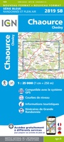 Topografische kaart - Wandelkaart 2819 SB - Serie Bleue Chaource | IGN - Institut Géographique National
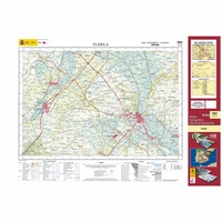 Topografische kaart 282 MT50 Tudela | CNIG - Instituto Geográfico Nacional1
 Wandelkaart - Topografische kaart 282 OS Explorer Map Lincolnshire Wolds North | Ordnance Survey
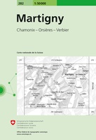 Wandelkaart - Topografische kaart 282 Martigny | Swisstopo
 Topografische kaart - Wandelkaart 2820 SB - Serie Bleue Tonnerre | IGN - Institut Géographique National
 Topografische kaart - Wandelkaart 2821 SB - Serie Bleue L'Isle-sur-Serein | IGN - Institut Géographique National★★★★★
 Wandelkaart - Topografische kaart 2822OT Quarre-les-Tombes | IGN - Institut Géographique National
 Topografische kaart - Wandelkaart 2823ET Saulieu - Lac de Settons | IGN - Institut Géographique National★★★★★
 Wandelkaart - Topografische kaart 2824OT Autun - Mont Beuvray | IGN - Institut Géographique National★★★★★
 Wandelkaart - Topografische kaart 2826 SB - Serie Bleue Luzy, Toulon-sur-Arroux | IGN - Institut Géographique National
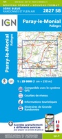 Wandelkaart - Topografische kaart 2827 SB - Serie Bleue Paray-le-Monial | IGN - Institut Géographique National
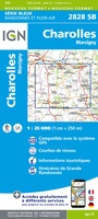 Wandelkaart - Topografische kaart 2828 SB - Serie Bleue Charolles | IGN - Institut Géographique National★★★★★
 Wandelkaart - Topografische kaart 2829 SB - Serie Bleue Charlieu – Chauffailles | IGN - Institut Géographique National
 Topografische kaart 283 MT50 Fustiñana | CNIG - Instituto Geográfico Nacional1
Laatste reviews

Hoogtepunten van Rügen in een oogopslag
Gidsje werkt voor mij goed als aanvulling op gedetailleerde reisgids Rügen, Hiddensee und Strallsund van Michael Müller Verlag. Wel een beetje populair/melig taalgebruik.
★★★★★ door Jacques 31 mei 2026 | Heeft dit artikel gekocht
Beste reisgids voor Rügen
Gedetailleerd, overzichtelijk en handzaam formaat.
★★★★★ door Jacques 31 mei 2026 | Heeft dit artikel gekocht
Overzichtelijk
Prachtig vormgegeven boek met veel wetenswaardigheden en routes over de Lanquedoc
★★★★★ door WIM LUCASSEN 31 mei 2026 | Heeft dit artikel gekocht
Mooi uitgevoerde kaart maar out-of-date
Mooi uitgevoerde kaart, veel (touristische) informatie en sterk watervast papier. Maar, hoewel uitgegeven in 2022, is het databestand uit 2010. Het wegennet is Noord Spanje …
★★★★★ door Soons 30 mei 2026 | Heeft dit artikel gekocht