Winkelwagen
Geen items in winkelwagen
Ga naar winkelwagen
Topografische kaarten - Europa
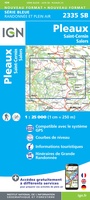 Wandelkaart - Topografische kaart 2335 SB - Serie Bleue St-Cernin, Salers, Pleaux | IGN - Institut Géographique National
 Wandelkaart - Topografische kaart 2336 SB - Serie Bleue Aurillac, Barrage de St-Etienne-Cantalès, Laroquebrou | IGN - Institut Géographique National
 Wandelkaart - Topografische kaart 2337 SB - Serie Bleue Maurs | IGN - Institut Géographique National
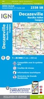 Wandelkaart - Topografische kaart 2338 SB - Serie Bleue Decazeville | IGN - Institut Géographique National
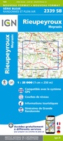 Wandelkaart - Topografische kaart 2339 SB - Serie Bleue Rieupeyroux - Moyrazes | IGN - Institut Géographique National
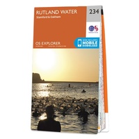 Wandelkaart - Topografische kaart 234 OS Explorer Map Rutland Water, Stamford, Oakham | Ordnance Survey
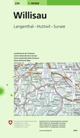 Wandelkaart - Topografische kaart 234 Willisau | Swisstopo
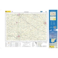 Topografische kaart 234-IV Cisneros | CNIG - Instituto Geográfico Nacional1
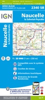 Wandelkaart - Topografische kaart 2340 SB - Serie Bleue Naucelle, La Salvetat, Peyrales | IGN - Institut Géographique National
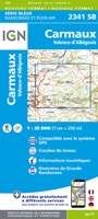 Wandelkaart - Topografische kaart 2341 SB - Serie Bleue Carmaux, Valence-d'Albigeoi | IGN - Institut Géographique National
 Wandelkaart - Topografische kaart 2342 SB - Serie Bleue Réalmont - Alban | IGN - Institut Géographique National
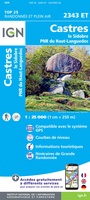 Wandelkaart - Topografische kaart 2343ET Castres, Sidobre, Brassac, Vebre, PNR du Haut Languedoc | IGN - Institut Géographique National★★★★★
 Wandelkaart - Topografische kaart 2344ET Montagne Noire est | IGN - Institut Géographique National
 Wandelkaart - Topografische kaart 2344OT Montagne Noire (ouest) - Revel - Labrugiere - PNR du Haut Languedoc | IGN - Institut Géographique National
 Wandelkaart - Topografische kaart 2345 SB - Serie Bleue Carcassonne - Alzonne | IGN - Institut Géographique National
 Wandelkaart - Topografische kaart 2346 SB - Serie Bleue Cazilhac - Limoux | IGN - Institut Géographique National
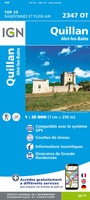 Wandelkaart - Topografische kaart 2347OT Quillan, Alet-les-Bains, Couiza, Rennes-les-Bains, Esperaza | IGN - Institut Géographique National
 Wandelkaart - Topografische kaart 2348ET Prades, Sournia, Vinca, St.Paul-de-Fenouillet | IGN - Institut Géographique National
 Wandelkaart - Topografische kaart 2349ET Massif du Canigou, La Preste, Prats-de-Mollo, Vernet-les-Bains | IGN - Institut Géographique National★★★★★
 Wandelkaart - Topografische kaart 235 Rotkreuz | Swisstopo
Laatste reviews

Mooie en degelijke wereldbol
Mooie en degelijke wereldbol. Voldoet volledig aan mijn wensen.
★★★★★ door Ben te Molder 21 april 2026 | Heeft dit artikel gekocht
Mooie kaart
Grote sortering en prima verzending
★★★★★ door Willem 21 april 2026 | Heeft dit artikel gekocht
Lichtgewicht en handzaam
Heel blij mee! Super handzaam, lichtgewicht boekje om mee te nemen op de camino. Alles staat er overzichtelijk in wat nodig is. Deze gaat zeker …
★★★★★ door Greetje 20 april 2026 | Heeft dit artikel gekocht
Handig en met duidelijke kaartjes
Handig beknopt boekje met duidelijke kaartjes. Handige tips, ook over OV, musea e.d. Het formaat is passend binnen iedere rugak. Wel in het Engels, maar …
★★★★★ door Frits 20 april 2026 | Heeft dit artikel gekocht