Winkelwagen
Geen items in winkelwagen
Ga naar winkelwagen
Topografische kaarten - Europa
 Wandelkaart - Topografische kaart 2937OT Privas – Vals-les-Bains | IGN - Institut Géographique National
 Wandelkaart - Topografische kaart 2938 SB - Serie Bleue Largentière, Aubenas, Villeneuve-de-Berg | IGN - Institut Géographique National★★★★★
 Wandelkaart - Topografische kaart 2939OT Gorges de l'Ardèche | IGN - Institut Géographique National★★★★★
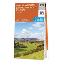 Wandelkaart - Topografische kaart 294 OS Explorer Map Market Weighton, Yorkshire Wolds Central | Ordnance Survey
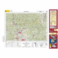 Topografische kaart 294 MT50 Manlleu | CNIG - Instituto Geográfico Nacional1
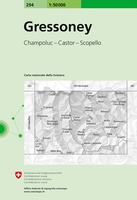 Wandelkaart - Topografische kaart 294 Gressoney | Swisstopo★★★★★
 Wandelkaart - Topografische kaart 2940OT Bagnols-sur-Cèze | IGN - Institut Géographique National
 Wandelkaart - Topografische kaart 2942OT Nîmes | IGN - Institut Géographique National
 Wandelkaart - Topografische kaart 2943ET Arles | IGN - Institut Géographique National
 Wandelkaart - Topografische kaart 2944OT Saintes-Maries-de-la-Mer | IGN - Institut Géographique National
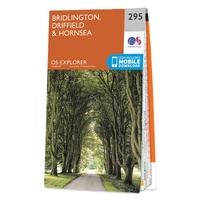 Wandelkaart - Topografische kaart 295 OS Explorer Map Bridlington, Driffield, Hornsea | Ordnance Survey
 Topografische kaart 295 MT50 Banyoles | CNIG - Instituto Geográfico Nacional1
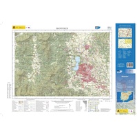 Topografische kaart 295-II Banyoles | CNIG - Instituto Geográfico Nacional1
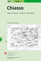 Wandelkaart - Topografische kaart 296 Chiasso | Swisstopo
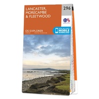 Wandelkaart - Topografische kaart 296 OS Explorer Map Lancaster, Morecambe, Fleetwood | Ordnance Survey
 Topografische kaart 296 MT50 Torroella de Montgrí | CNIG - Instituto Geográfico Nacional1
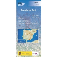 Topografische kaart 296-I Cornellà de Terri | CNIG - Instituto Geográfico Nacional1
 Topografische kaart 296-II/297-I L'Escala | CNIG - Instituto Geográfico Nacional
 Topografische kaart 296-III Sarrià de Ter | CNIG - Instituto Geográfico Nacional1
 Topografische kaart 296-IV/297-III Torroella de Montgrí | CNIG - Instituto Geográfico Nacional
Laatste reviews

Super
Rother wandelgidsen stellen nooit teleur. Mooie routes, goede opgave kilometers, hoogtemeters en horeca. Een aanrader!
★★★★★ door Anita Geel 13 januari 2026 | Heeft dit artikel gekocht
Prachtig boek!
Mooi boek met prachtige foto’s! Voldoet helemaal aan mijn verwachtingen.
★★★★★ door Hans Eldering 13 januari 2026 | Heeft dit artikel gekocht
zeer vlotte levering
het product voldeed aan mijn verwachtingen en was geplastificeerd wat natuurlijk perfect is voor kaart die veel wordt geraadpleegd!
★★★★★ door Peter Lantinga 13 januari 2026 | Heeft dit artikel gekocht
Gedetailleerde wegenkaart
Ik heb de wegenkaart Maleisië aangeschaft om zelf een rondreis per huurauto te kunnen plannen. Deze kaart heeft daar heel goed bij geholpen doordat er …
★★★★★ door M. Rizvi 13 januari 2026 | Heeft dit artikel gekocht