Winkelwagen
Geen items in winkelwagen
Ga naar winkelwagen
Topografische kaarten - Europa
 Wandelkaart - Topografische kaart 3442OT Gorges du Verdon | IGN - Institut Géographique National
 Wandelkaart - Topografische kaart 3443OT Aups | IGN - Institut Géographique National
 Wandelkaart - Topografische kaart 3444OT Brignoles - le Luc | IGN - Institut Géographique National
 Wandelkaart - Topografische kaart 3445OT Cuers | IGN - Institut Géographique National
 Wandelkaart - Topografische kaart 3446ET Le Lavandou | IGN - Institut Géographique National
 Wandelkaart - Topografische kaart 3446OT Hyères | IGN - Institut Géographique National
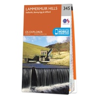 Wandelkaart - Topografische kaart 345 OS Explorer Map Lammermuir Hills | Ordnance Survey
 Topografische kaart 345-IV Roa | CNIG - Instituto Geográfico Nacional1
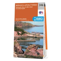 Wandelkaart - Topografische kaart 346 OS Explorer Map Berwick-upon-Tweed | Ordnance Survey
 Topografische kaart 346-III Aranda de Duero | CNIG - Instituto Geográfico Nacional1
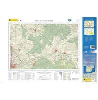 Topografische kaart 346-IV Villanueva de Gumiel | CNIG - Instituto Geográfico Nacional1
 Topografische kaart 347-I Caleruega | CNIG - Instituto Geográfico Nacional1
 Topografische kaart 347-II Espeja de San Marcelino | CNIG - Instituto Geográfico Nacional1
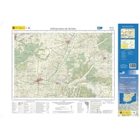 Topografische kaart 347-III Peñaranda del Duero | CNIG - Instituto Geográfico Nacional1
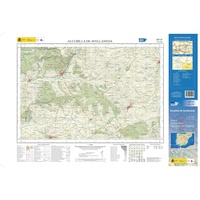 Topografische kaart 347-IV Alcubilla de Avellaneda | CNIG - Instituto Geográfico Nacional1
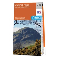 Wandelkaart - Topografische kaart 348 OS Explorer Map Campsie Fells | Ordnance Survey
 Topografische kaart 348-I San Leonardo de Yagüe | CNIG - Instituto Geográfico Nacional1
 Topografische kaart 348-II Talveila | CNIG - Instituto Geográfico Nacional1
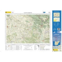 Topografische kaart 348-III Fuentearmegil | CNIG - Instituto Geográfico Nacional1
 Topografische kaart 348-IV Muriel de la Fuente | CNIG - Instituto Geográfico Nacional1
Laatste reviews

Hoogtepunten van Rügen in een oogopslag
Gidsje werkt voor mij goed als aanvulling op gedetailleerde reisgids Rügen, Hiddensee und Strallsund van Michael Müller Verlag. Wel een beetje populair/melig taalgebruik.
★★★★★ door Jacques 31 mei 2026 | Heeft dit artikel gekocht
Beste reisgids voor Rügen
Gedetailleerd, overzichtelijk en handzaam formaat.
★★★★★ door Jacques 31 mei 2026 | Heeft dit artikel gekocht
Overzichtelijk
Prachtig vormgegeven boek met veel wetenswaardigheden en routes over de Lanquedoc
★★★★★ door WIM LUCASSEN 31 mei 2026 | Heeft dit artikel gekocht
Mooi uitgevoerde kaart maar out-of-date
Mooi uitgevoerde kaart, veel (touristische) informatie en sterk watervast papier. Maar, hoewel uitgegeven in 2022, is het databestand uit 2010. Het wegennet is Noord Spanje …
★★★★★ door Soons 30 mei 2026 | Heeft dit artikel gekocht