Mandje Tel: +31503126950 Menu
Winkelwagen
Geen items in winkelwagen
Ga naar winkelwagen

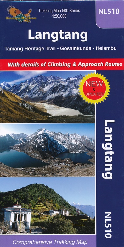
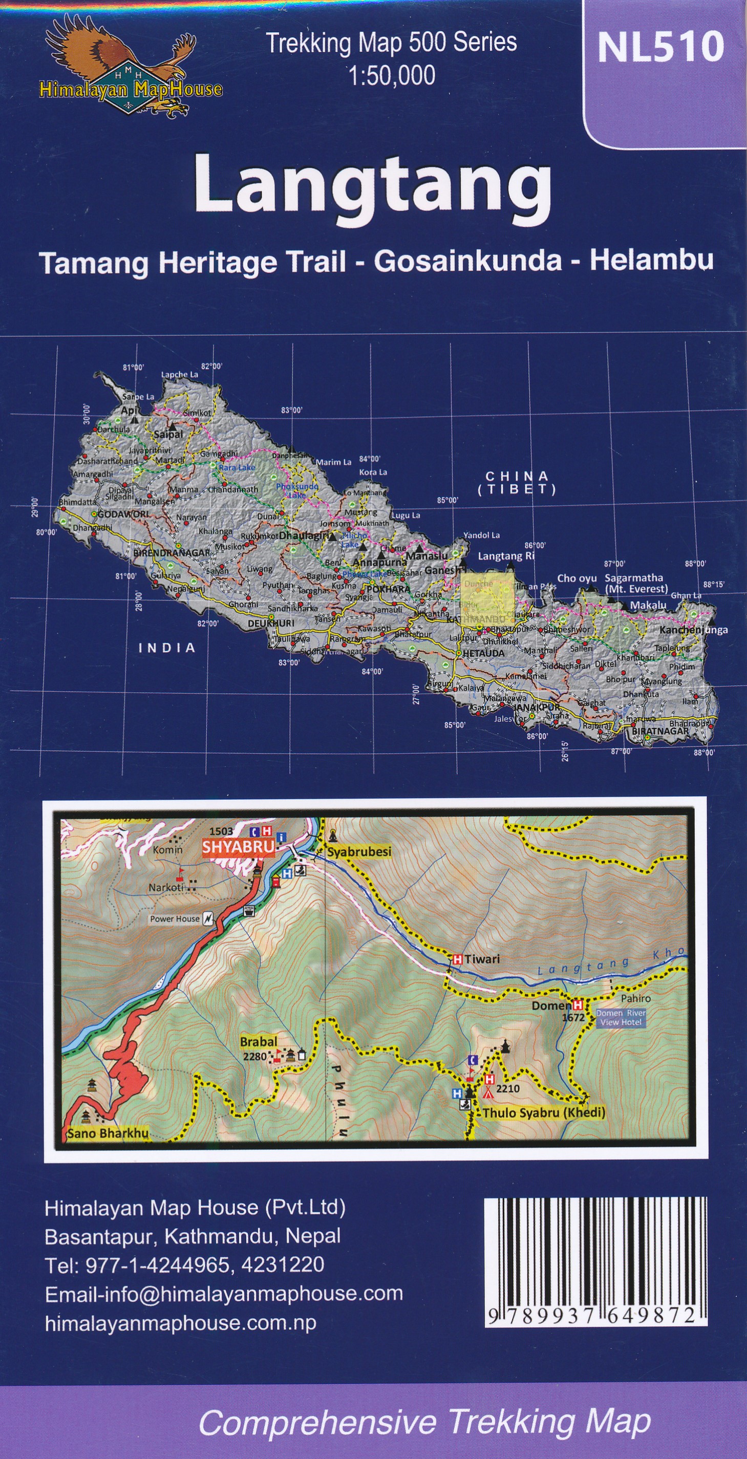
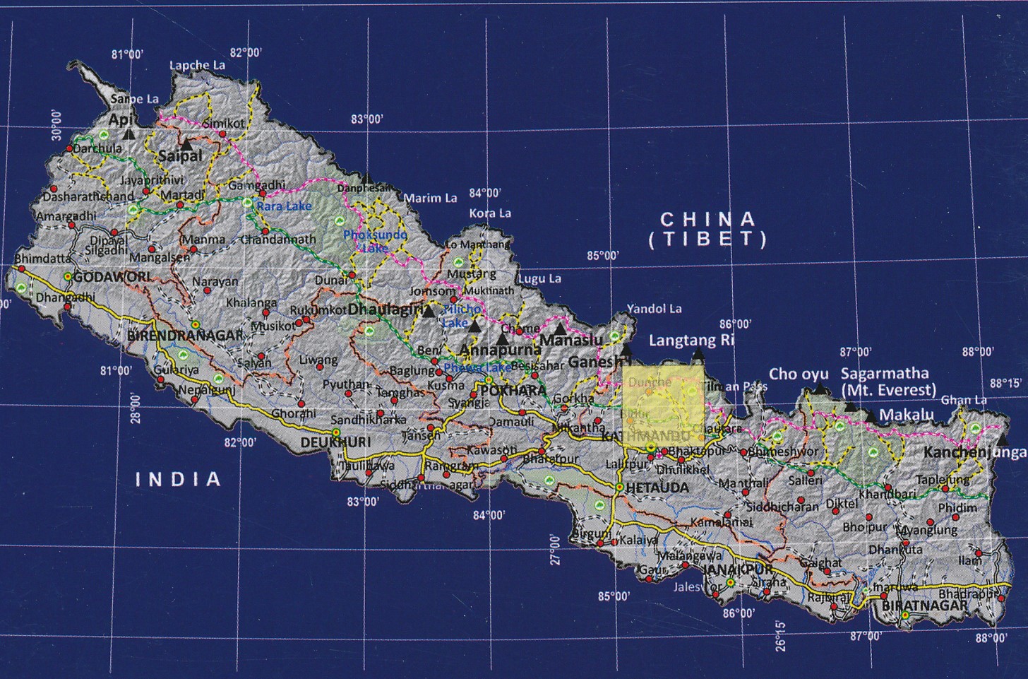
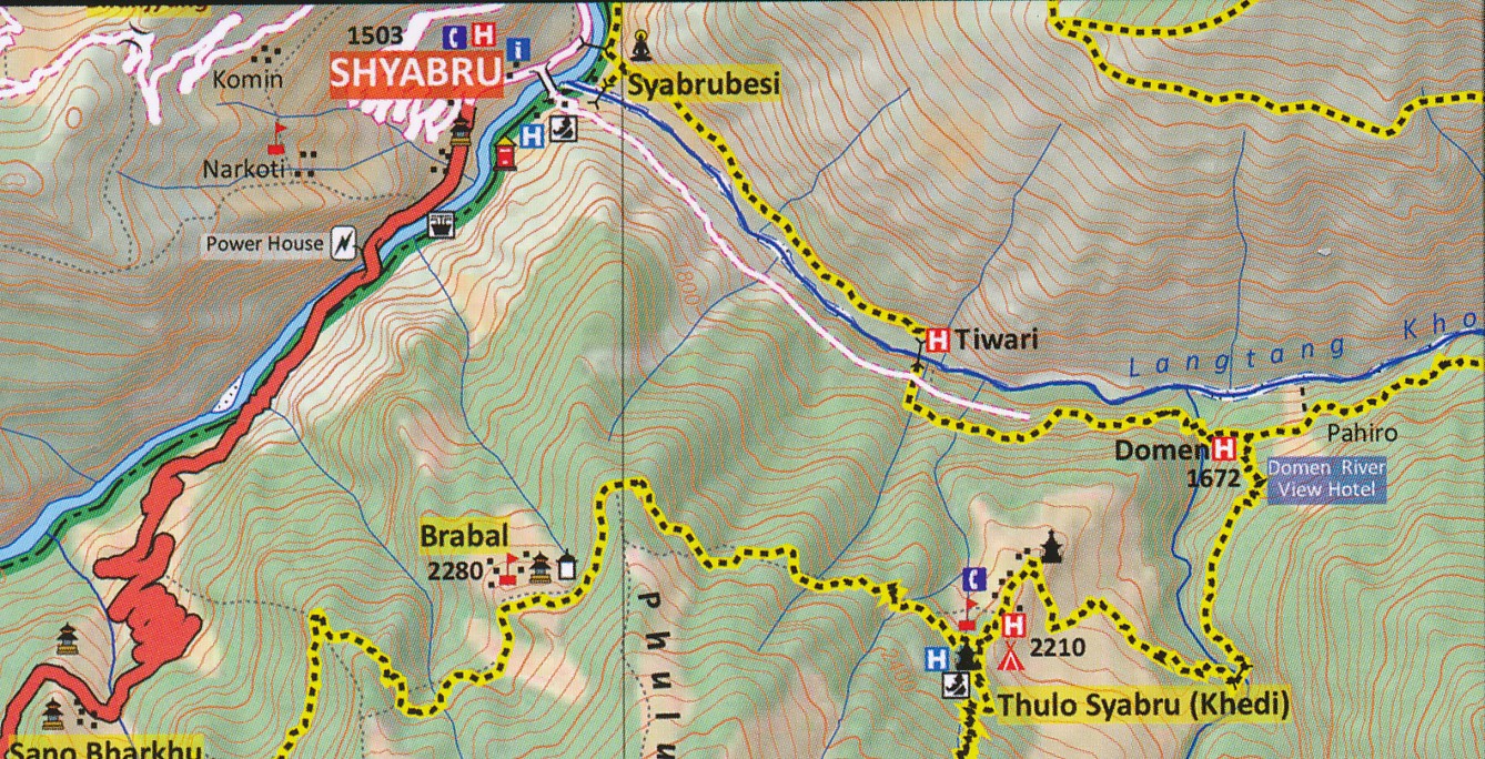
Wandelkaart NL510 Langtang | Himalayan Maphouse (9789937649872)

Tamang Heritage Trail - Gosainkunda - Helambu

  • ISBN / CODE: 9789937649872
  • Schaal: 1:50000
  • Uitgever: Himalayan Maphouse
  • Soort: Wandelkaart
  • Taal: Engels
  • Bindwijze: -
  • Uitvoering: Papier
  • Schrijf als eerste een review
  • 12,95

    Op voorraad. Binnen 2 - 3 werkdagen in huis in Belgie Levertijd Nederland Voor 17.00 uur op werkdagen besteld, morgen in huis in Nederland Levertijd Belgie

    Gratis verzending in Nederland vanaf €35,-

Beschrijving

Goede leesbare kaart van Langtang met alle trekking routes en andere belangrijke informatie. Kleurenstelling is erg goed en daardoor zeer bruikbaar. Met hoogtelijnen, vegetaties, campsite etc.

This trekking map covers Langtang, Gosaikund and Helambu regions of Nepal, north and north-east of Kathmandu at 1:125,000 scale. Coverage extends from the capital to the Tibetan border and eastwards to the Kodari border crossing. The map highlights numerous trekking routes from Kathmandu, Trisuli, Melamchi and Chautara northwards towards the Langtang National Park, as well as routes along the Lantang Valley and to the Naya Kanga peak.
 
Route: Trisuli Bazar, Dhunche, Syabru, Goljung,Parvati Kunda, Gatlang, Thambuchet, Tatopani, Nagthali, Timure, Rasuwagadhi, Briddhim, Lama Hotel, Langtang Village, Kyanjin Gompa, Langshisa Glacier, Kanja La, Tarkeghyang, Melamchi Bazar, Kathmandu.
 
The overprint highlights main trekking routes and numerous local trails, with symbols indicating various places of interest and tourist facilities. Most maps are indexed (places, base camps, peaks, lakes and passes) and include additional information such as route profiles, glossaries, etc.
 
Titles in this series have cartography is based on the country’s topographic survey, with contours usually at 40m or 50m intervals, enhanced by relief shading, colouring and graphics to show various features of the terrain, including glaciers, forested or cultivated areas, etc. Numerous peaks, with additional spot heights, plus names of glaciers and mountain ranges are prominently shown. The network of rivers, streams and lakes is shown in detail, with many smaller rivers and lakes named.
 
All the information is in English and heights are given in metres.
 

Reviews

Geen reviews gevonden voor dit product.

Schrijf een review

Graag horen wij wat u van dit artikel vindt. Vindt u het goed, leuk, mooi, slecht, lelijk, onbruikbaar of erg handig: schrijf gerust alles op! Het is niet alleen leuk om te doen maar u informeert andere klanten er ook nog mee!