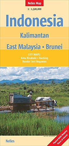
Wegenkaart - landkaart Kalimantan - Borneo | Nelles Verlag (9783865742384)
- ISBN / CODE: 9783865742384
- Schaal: 1:1500000
- Uitgever: Nelles Verlag
- Soort: Wegenkaart
- Taal: Engels, Duits
- Schrijf als eerste een review
-
€ 11,95
Uitverkocht, nooit meer leverbaar
Beschrijving
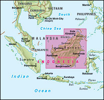
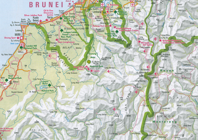
Goede overzichtelijke kaart van Kalimantan en Borneo. Veel toeristische informatie met symbolen weergegeven. Helder kleurgebruik, aan twee zijden bedrukt.
Bandar Seri Begawan 1 : 17.600
Kota Kinabalu 1 : 17.600
Kuching 1 : 15.000
Reviews
Geen reviews gevonden voor dit product.
Schrijf een review
Graag horen wij wat u van dit artikel vindt. Vindt u het goed, leuk, mooi, slecht, lelijk, onbruikbaar of erg handig: schrijf gerust alles op! Het is niet alleen leuk om te doen maar u informeert andere klanten er ook nog mee!
Ook interessant voor azie/indonesie/kalimantan
-

Wegenkaart - landkaart Sabah - Saraw
€ 14,95Wegenkaarten Kalimantan - Borneo -

Reisverhaal Where Hornbills Fly | Er
€ 18,50Reisverhalen Kalimantan - Borneo -

Wegenkaart - landkaart Borneo - Kali
€ 14,95Wegenkaarten Kalimantan - Borneo -

Wegenkaart - landkaart 3 Borneo | Re
€ 11,95Wegenkaarten Kalimantan - Borneo -

Reisgids Borneo | Bradt Travel Guide
€ 25,95Reisgidsen Borneo Sabah Sarawak