Wegenkaart - landkaart Algeria - Algerije | ITMB (9781553411062)
- ISBN / CODE: 9781553411062
- Editie: 2010
- Schaal: 1:2000000
- Uitgever: ITMB
- Soort: Wegenkaart
- Taal: Engels
- Schrijf als eerste een review
-
€ 13,95
Dit artikel is (tijdelijk) niet leverbaar
Beschrijving
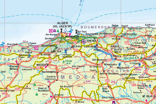
Een degelijke kaart met aanduidingen van o.a. nationale parken, vliegveld, benzinepomp, dirt-roads en kleine plattegrond van hoofdstad. Als overzichtskaart goed te gebruiken.
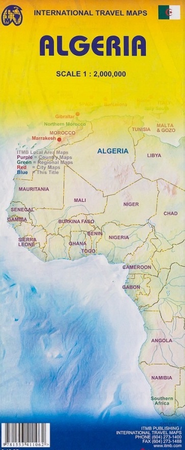
Algeria is the largest country on the Mediterranean Sea, the second largest on the African continent after Sudan, and the eleventh-largest country in the world. The Sahara covers more than four-fifths of its territory, where the inhabitants are concentrated in oases surrounded by desert. This map offers an inset city map of Alger, including a separate inset of the metro system. It includes the area from above Seville in Southern Spain, including access points by ferry to France and Spain. The map also includes parts of Morocco, Mali, Mauritania, Niger, Libya and Tunisia. Much of Algeria is now recovering and developing into an emerging economy. The high prices of oil and gas are being used by the new government to improve the country's infrastructure and especially improve industry and agricultural land.
Legend Includes:
Roads by classification, ferry routes, bodies of water, horse and foot tracks, beaches, world heritage sites, camping sites, accommodation, national parks, mosques, synagogues, rock art painting, spas, points of interest and other information.
Reviews
Geen reviews gevonden voor dit product.
Schrijf een review
Graag horen wij wat u van dit artikel vindt. Vindt u het goed, leuk, mooi, slecht, lelijk, onbruikbaar of erg handig: schrijf gerust alles op! Het is niet alleen leuk om te doen maar u informeert andere klanten er ook nog mee!
Ook interessant voor afrika/algerije
-

Reisgids Algerije - Algérie | Petit
€ 19,95Reisgidsen Algerije -

Wegenkaart - landkaart Algeria - Alg
€ 13,95Wegenkaarten Algerije -

Vogelgids Birds of Europe, North Afr
€ 34,95Vogelgidsen Algerije -

Stadsplattegrond Algiers | Laure Kan
€ 11,50Stadsplattegronden Algerije -

Reisgids Algerien - Algerije | Tresc
€ 29,50Reisgidsen Algerije