Winkelwagen
Geen items in winkelwagen
Ga naar winkelwagen
IGN - Institut Géographique National
IGN is de officiële instantie voor geografische informatie in Frankrijk ofwel Institut Géographique National. Ze staan bekend om de zeer goede wandelkaarten op schaal 1:25.000 (Serie Bleue en Top 25) van Frankrijk. De wandelkaarten zijn dan ook zeer uitgebreid. De wandelaar vindt hier alle wandelpaden, campings en langeafstandswandelpaden, ook wel GR-paden (Grande Randonnée) genoemd. Kleine weggetjes en paden, maar ook de verschillende types landschappen en bebouwingen, populaire gebieden en onontdekte parels: de wandelaar in Frankrijk vindt alles terug op deze betrouwbare kaarten van IGN.
Naast wandelkaarten geeft het IGN ook goede fiets- c.q. wegenkaarten op schaal 1:100.000 (serie Top 100) en fietskaarten op schaal 1:75.000 (serie Top 75) uit.
 Wandelkaart - Topografische kaart 2346 SB - Serie Bleue Cazilhac - Limoux | IGN - Institut Géographique National
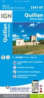 Wandelkaart - Topografische kaart 2347OT Quillan, Alet-les-Bains, Couiza, Rennes-les-Bains, Esperaza | IGN - Institut Géographique National
 Wandelkaart - Topografische kaart 2348ET Prades, Sournia, Vinca, St.Paul-de-Fenouillet | IGN - Institut Géographique National
 Wandelkaart - Topografische kaart 2349ET Massif du Canigou, La Preste, Prats-de-Mollo, Vernet-les-Bains | IGN - Institut Géographique National★★★★★
 Wandelkaart - Topografische kaart 2349ETR Massif du Canigou | IGN - Institut Géographique National
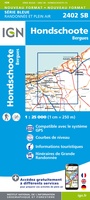 Wandelkaart - Topografische kaart 2402 SB - Serie Bleue Hondschoote - Bergues | IGN - Institut Géographique National
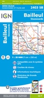 Wandelkaart - Topografische kaart 2403 SB - Serie Bleue Steenvoorde - Bailleul | IGN - Institut Géographique National
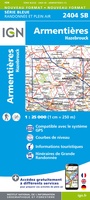 Wandelkaart - Topografische kaart 2404 SB - Serie Bleue Armentieres - Hazebrouck | IGN - Institut Géographique National
 Wandelkaart - Topografische kaart 2405 SB - Serie Bleue Lens - Béthune | IGN - Institut Géographique National
 Wandelkaart - Topografische kaart 2406 SB - Serie Bleue Arras, Avesnes-le-Comte | IGN - Institut Géographique National
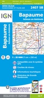 Wandelkaart - Topografische kaart 2407 SB - Serie Bleue Bapaume, Acheux-en-Amiénois | IGN - Institut Géographique National
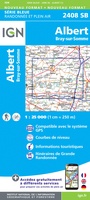 Wandelkaart - Topografische kaart 2408 SB - Serie Bleue Bray-sur-Somme, Albert | IGN - Institut Géographique National
 Wandelkaart - Topografische kaart 2409 SB - Serie Bleue Roye | IGN - Institut Géographique National
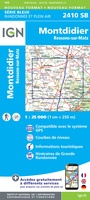 Wandelkaart - Topografische kaart 2410 SB - Serie Bleue Ressons-sur-Matz, Montdidier | IGN - Institut Géographique National
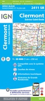 Wandelkaart - Topografische kaart 2411 SB - Serie Bleue Estrées-St-Denis, Clermont | IGN - Institut Géographique National
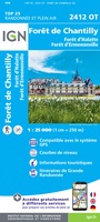 Wandelkaart - Topografische kaart 2412OT Forêt de Chantilly | IGN - Institut Géographique National★★★★★
 Wandelkaart - Topografische kaart 2413OT Dammartin-en-Goële, Centre | IGN - Institut Géographique National
 Wandelkaart - Topografische kaart 2414ET Marne-la-Vallée - Forêts: Crécy - Armainvilliers - Ferrières, Centre | IGN - Institut Géographique National
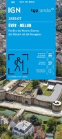 Wandelkaart 2415OT Evry / Melun / Forêt Sénart / Forêt Notre-Dame | IGN - Institut Géographique National
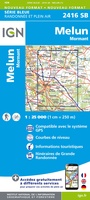 Wandelkaart - Topografische kaart 2416 SB - Serie Bleue Melun, Mormant | IGN - Institut Géographique National
Laatste reviews

Compact gidsje
Ben nog niet het veld in geweest met de gids maar de eerste indruk is veel informatie om een meerdaagse tocht uit te stippelen.
★★★★★ door Henk 04 juli 2026 | Heeft dit artikel gekocht
Beschikbaarheid en snelheid
Prima in orde!
★★★★★ door Marko 04 juli 2026 | Heeft dit artikel gekocht
Lekker analoog
Fijn boekje met veel informatie, behalve knooppunten Utrecht af en toe incorrect. Wat heerlijk om offline te navigeren, lekker analoog. Zodra je het systeem begrijpt …
★★★★★ door Daan 03 juli 2026 | Heeft dit artikel gekocht
Aanrader
Als je van geschiedenis, Groningen en kaarteen houdt, is dit echt een aanrader!
★★★★★ door Reinout 03 juli 2026 | Heeft dit artikel gekocht