Winkelwagen
Geen items in winkelwagen
Ga naar winkelwagen
IGN - Institut Géographique National
IGN is de officiële instantie voor geografische informatie in Frankrijk ofwel Institut Géographique National. Ze staan bekend om de zeer goede wandelkaarten op schaal 1:25.000 (Serie Bleue en Top 25) van Frankrijk. De wandelkaarten zijn dan ook zeer uitgebreid. De wandelaar vindt hier alle wandelpaden, campings en langeafstandswandelpaden, ook wel GR-paden (Grande Randonnée) genoemd. Kleine weggetjes en paden, maar ook de verschillende types landschappen en bebouwingen, populaire gebieden en onontdekte parels: de wandelaar in Frankrijk vindt alles terug op deze betrouwbare kaarten van IGN.
Naast wandelkaarten geeft het IGN ook goede fiets- c.q. wegenkaarten op schaal 1:100.000 (serie Top 100) en fietskaarten op schaal 1:75.000 (serie Top 75) uit.
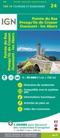 Fietskaart - Wandelkaart 75024 Bretagne - Pointe du Raz, Presqu'ile de Crozon, Ouessant - les Abers | IGN - Institut Géographique National
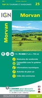 Fietskaart - Wandelkaart 75025 Morvan | IGN - Institut Géographique National★★★★★
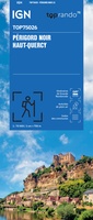 Fietskaart - Wandelkaart 75026 Perigord Noir - Haut Quercy | IGN - Institut Géographique National
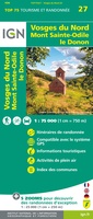 Fietskaart - Wandelkaart 75027 Vosges du Nord - Mont Sainte Odile - Le Donon | IGN - Institut Géographique National★★★★★
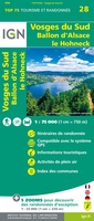 Fietskaart - Wandelkaart 75028 Vosges du Sud - Ballon d'Alsace - Le Hohneck | IGN - Institut Géographique National★★★★★★★★★★
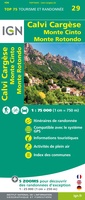 Fietskaart - Wandelkaart 75029 Calvi Cargese Corsica | IGN - Institut Géographique National
 Fietskaart - Wandelkaart 75030 Bastia Corte Corsica | IGN - Institut Géographique National
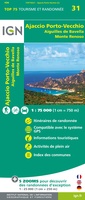 Fietskaart - Wandelkaart 75031 Ajaccio - Porto Vecchio - Corsica | IGN - Institut Géographique National
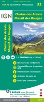 Fietskaart - Wandelkaart 75032 Chaine des Aravis - Massif des Bauges | IGN - Institut Géographique National
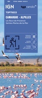 Wegenkaart - landkaart 75033 Camargue / Alpilles | IGN - Institut Géographique National★★★★★★★★★★
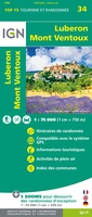 Wandelkaart - Fietskaart 75034 Luberon - Mont Ventoux | IGN - Institut Géographique National
 Fietskaart - Wandelkaart 75035 Provence | IGN - Institut Géographique National
 Fietskaart - Wandelkaart 75036 Baie De Somme - Cote d'Albatre - Fecamp - Etretat - Normandië | IGN - Institut Géographique National★★★★★★★★★★
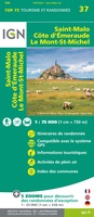 Fietskaart - Wandelkaart 75037 Bretagne: Saint Malo - Côte d'Emeraude - Mont Saint-Michel | IGN - Institut Géographique National★★★★★★★★★★
 Wandelkaart - Fietskaart 75038 Île de Ré, Île d'Oléron, Marais Poitevin | IGN - Institut Géographique National
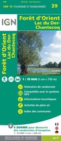 Wandelkaart - Fietskaart 75039 Forêt d'Orient, Lac du Der-Chantecoq | IGN - Institut Géographique National
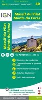 Wandelkaart - Fietskaart 75040 Massif du Pilat - Monts du Forez | IGN - Institut Géographique National
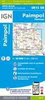 Wandelkaart - Topografische kaart 815 SB - Serie Bleue Paimpol - Pontrieux | IGN - Institut Géographique National
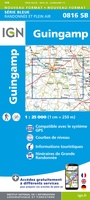 Wandelkaart - Topografische kaart 816 SB - Serie Bleue Guingamp | IGN - Institut Géographique National
 Wandelkaart - Topografische kaart 817 SB - Serie Bleue Quintin - St-Nicolas-du-Pelem | IGN - Institut Géographique National
Laatste reviews

Compact gidsje
Ben nog niet het veld in geweest met de gids maar de eerste indruk is veel informatie om een meerdaagse tocht uit te stippelen.
★★★★★ door Henk 04 juli 2026 | Heeft dit artikel gekocht
Beschikbaarheid en snelheid
Prima in orde!
★★★★★ door Marko 04 juli 2026 | Heeft dit artikel gekocht
Lekker analoog
Fijn boekje met veel informatie, behalve knooppunten Utrecht af en toe incorrect. Wat heerlijk om offline te navigeren, lekker analoog. Zodra je het systeem begrijpt …
★★★★★ door Daan 03 juli 2026 | Heeft dit artikel gekocht
Aanrader
Als je van geschiedenis, Groningen en kaarteen houdt, is dit echt een aanrader!
★★★★★ door Reinout 03 juli 2026 | Heeft dit artikel gekocht