Winkelwagen
Geen items in winkelwagen
Ga naar winkelwagen
Harvey Maps
Superhandige wandelkaarten van Harvey Maps voor Engeland, Schotland & Wales
Voor veel belangrijke meerdaagse wandelpaden in Engeland, Schotland en Wales heeft Harvey Maps een prachtige overzichtskaart gemaakt waarbij ze detailkaarten aan elkaar hebben geplakt waardoor de hele route zichtbaar wordt. En dit alles op een schaal waarop je kunt wandelen, alle noodzakelijke informatie staat ingetekend.
Je kunt ze gebruiken als vervanging voor een gids, maar zeker ook daarnaast. Harvey Maps maakt ook wandelkaarten van delen van Ierland zoals de Wicklow Mountains en Connemara. En belangrijk: ze zijn scheur- en watervast en gaan daardoor langer mee!
 Wandelkaart Torridon | Harvey Maps
 Wandelkaart Peak District South | Harvey Maps
 Wandelkaart Mull - Iona - Ulva | Harvey Maps
 Wandelkaart Pentland Hills | Harvey Maps
 Wandelkaart South Loch Ness Trail | Harvey Maps★★★★★
 Wandelkaart Brecon Beacons | Harvey Maps
 Wandelkaart Mourne Mountains | Harvey Maps
 Wandelkaart Glen Coe | Harvey Maps
 Wandelkaart St Cuthbert's Way XT40 | Harvey Maps
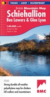 Wandelkaart Schiehallion / Ben Lawers & Glen Lyon | Harvey Maps
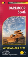 Wandelkaart Dartmoor Zuid | Harvey Maps
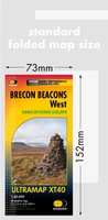 Wandelkaart Brecon Beacons West | Harvey Maps
 Wandelkaart Wicklow Mountains | Harvey Maps★★★★★
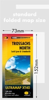 Wandelkaart Trossachs Noord | Harvey Maps
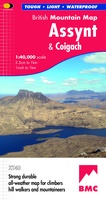 Wandelkaart Assynt & Coigach | Harvey Maps
 Wandelkaart Loch Lomond & The Trossachs | Harvey Maps
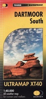 Wandelkaart Dartmoor Zuid | Harvey Maps
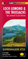 Wandelkaart Loch Lomond & The Trossachs | Harvey Maps
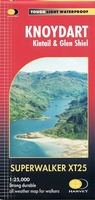 Wandelkaart Knoydart / Kintail / Glen Shiel harvey | Harvey Maps
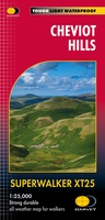 Wandelkaart Cheviot Hills | Harvey Maps
Laatste reviews

Simpele keuze ondersteuning op website en hele snelle levering
Kort voor vakantie naar de Galapagos eilanden toch nog behoefte aan extra reisgids. Simpel kunnen bestellen en snelle levering. Zou niet weten wat er beter …
★★★★★ door Piet Grootenboer 25 juni 2026 | Heeft dit artikel gekocht
Te gek
Enorm mooie wereldkaart met details en snelle fijne levering.
★★★★★ door Steven Goyvaerts 25 juni 2026 | Heeft dit artikel gekocht
Goede gids voor pelgrims
Deze Cicerone gids over de via Francigena is uitermate geschikt om je route en etappes te plannen als je de Via Francigena vanuit Zwitserland gaat …
★★★★★ door Vic 24 juni 2026 | Heeft dit artikel gekocht
Aantrekkelijk en boordevol nuttige info
Heerlijk om al te kunnen voorbereiden op een fantastische vakantie met dit uiterst fijne boek.
★★★★★ door Harry 24 juni 2026 | Heeft dit artikel gekocht