Collins
Maak je reis compleet met de handige reisgidsen en wegenkaarten van Collins
 Wegenkaart - landkaart Pocket Map Munros and Corbetts | Collins
 Woordenboek Visual Dictionary Vietnamese - Vietnamees taalgids | Collins
Super handig! Een taalgids waarbij naast de gewone vertaling en een fonetische poging daartoe ook een plaatje staat weergegeven. Ideaal voor een moeizame conversatie in een taal die je echt …
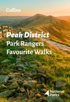 Wandelgids Park Rangers Favourite Walks Peak District | Collins
The perfect companions for exploring the National Parks. Walking guide to the Peak District National Park, with 20 best routes chosen by the park rangers. Each walk varies in length …
★★★★★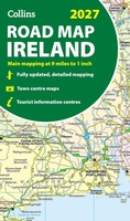 Wegenkaart - landkaart Ireland Road Map 2027 | Collins
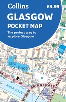 Stadsplattegrond Pocket Map Glasgow | Collins
Clear, detailed, full color Collins mapping is presented in a handy format ideal for the pocket or handbag. It is excellent value and covers the most visited area of central …
 Atlas World Atlas Reference | Collins
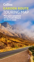 Wegenkaart - landkaart Garden Route | Collins
Full color, informative map of South Africa’s popular Garden Route. With detailed mapping and tourist information, this map is a perfect guide to traveling along the southern coast of South …
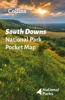 Wegenkaart - landkaart National Park Pocket Map South Downs | Collins
Handige kleine kaart van dit Nationaal Park. De kaart geeft een goed en helder overzicht van het gebied met alle plaatsen, doorgaande wandelpaden (alhoewel grof van schaal), bezienswaardigheden etc. Met …
 Stadsplattegrond Pocket Map Aberdeen | Collins
Handy little full colour Collins map of Aberdeen with a high level of detail. Clear mapping of the central area extending to the airport and along the coast, with all …
★★★★★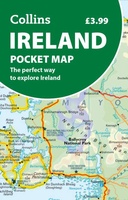 Wegenkaart - landkaart Ireland pocket map | Collins
Kleine handzame kaart van Ierland. Explore Ireland with this handy, full colour map. Handy little full colour map of Ireland at an excellent price. It is double-sided, with the …
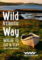 Reisgids Wild Atlantic Way - Where to eat and stay | Collins
Een handzame gids met de beste plekken om te eten en overnachten langs de Wild Atlantic Way in Ierland. A guide to the best places to enjoy the local Irish …
★★★★★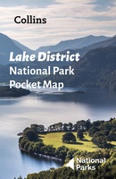 Wegenkaart - landkaart National Park Pocket Map Lake District | Collins
Handige kleine kaart van dit Nationaal Park. De kaart geeft een goed en helder overzicht van het gebied met alle plaatsen, doorgaande wandelpaden (alhoewel grof van schaal), bezienswaardigheden etc. Met …
 Woordenboek Visual Dictionary Arabic - Arabisch taalgids | Collins
Super handig! Een taalgids waarbij naast de gewone vertaling en een fonetische poging daartoe ook een plaatje staat weergegeven. Ideaal voor een moeizame conversatie in een taal die je echt …
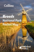 Wegenkaart - landkaart National Park Pocket Map Broads | Collins
Handige kleine kaart van dit Nationaal Park. De kaart geeft een goed en helder overzicht van het gebied met alle plaatsen, doorgaande wandelpaden (alhoewel grof van schaal), bezienswaardigheden etc. Met …
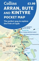 Wegenkaart - landkaart Pocket Map Arran, Bute and Kintyre | Collins
Handy little full colour map of Arran, Bute and Kintyre. Main features of this map include: • Clear mapping • Main tourist attractions located and described • Ideal for …
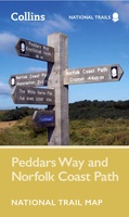 Wandelkaart National Trail Map Peddars Way and Norfolk Coast | Collins
Overzichtskaart op vrij grove schaal van deze LAW Lange Afstands Wandeling in Engeland. Let op: je kunt er niet op lopen. Wel met veel informatie op de kaart, goed ingetekend, …
 Wegenkaart - landkaart Pocket Map Isle of Wight | Collins
Handzame wegenkaart voor Isle of Wight. Handy little full-colour map of the Isle of Wight. Detailed mapping and tourist information of the whole island. With its stunning sea views …
 Wandelgids Park Rangers Favourite Walks Broads | Collins
The perfect companions for exploring the National Parks. Walking guide to the Broads National Park, with 20 best routes chosen by the park rangers. Each walk varies in length from …
 Survivalgids SAS Survival Guide | Collins
De echte SAS gids in mini formaat: handig om mee te nemen en hartstikke leuk om kado te geven. The ultimate guide to survival, this edition now includes the most …
★★★★★★★★★★ Wegenkaart - landkaart National Park Pocket Map Loch Lomond and the Trossachs | Collins
Handige kleine kaart van dit Nationaal Park. De kaart geeft een goed en helder overzicht van het gebied met alle plaatsen, doorgaande wandelpaden (alhoewel grof van schaal), bezienswaardigheden etc. Met …
Laatste reviews

Uitstekend
★★★★★ door Nelly van Ginkel 24 juli 2026 | Heeft dit artikel gekocht
Fijne kaart waterafstootend.
★★★★★ door Nicole 21 juli 2026 | Heeft dit artikel gekocht
Mooie helder kaart, netjes bezorgd
★★★★★ door Michael Rijke 21 juli 2026 | Heeft dit artikel gekocht
Fijne wandelkaart, gedetailleerd en met veel extra info. Super fijn om m voor onze vakantie al te kunnen kopen, zo kon de voorpret al beginnen …
★★★★★ door Wille Groenewolt 21 juli 2026 | Heeft dit artikel gekocht