Top 25
De kaarten van IGN (kort voor Institute Geographique National), wandelkaarten voor Frankrijk, zijn van een ongekend hoog niveau. Met name de wandelkaarten 1:25.000 vinden wij geweldig: werkelijk alles staat erop, de kaarten bevatten zeer veel details en het kleurgebruik is fantastisch, waardoor alles ook nog eens heel goed leesbaar. Je hoort het: wij zijn fan van deze kaarten!
 2534OT Monts du Cézallier | IGN - Institut Géographique National
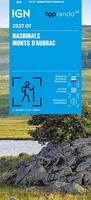 Wandelkaart 2537OT Nasbinals - Monts d'Aubrac | IGN - Institut Géographique National
 Wandelkaart 2538OT Ste-Eulalie-d'Olt | IGN - Institut Géographique National
 Wandelkaart 2541OT Millau / St-Affrique / PNR Grands Causses | IGN - Institut Géographique National
 Wandelkaart - Topografische kaart 2542OT Camarès - Avène | IGN - Institut Géographique National
 Wandelkaart - Topografische kaart 2543OT Lamalou-les-Bains, Olargues, Roquebrun, Le Caroux, PNR du Haut Languedoc | IGN - Institut Géographique National★★★★★
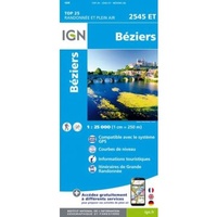 2545ET Béziers | IGN - Institut Géographique National1★★★★★
 Wandelkaart - Topografische kaart 2545OT St-Chinian - L'etang de Montady | IGN - Institut Géographique National
 Wandelkaart - Topografische kaart 2546OT Narbonne | IGN - Institut Géographique National
 Wandelkaart 2548OT Perpignan / Plages du Roussillon | IGN - Institut Géographique National
 Wandelkaart - Topografische kaart 2549OT Banyuls-sur-Mer | IGN - Institut Géographique National
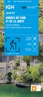 Topografische kaart - Wandelkaart 2640OT Gorges du Tarn et de la Jonte / Causse Méjan PNR | IGN - Institut Géographique National★★★★★
 Wandelkaart - Topografische kaart 2641ET Mont Aigoual | IGN - Institut Géographique National
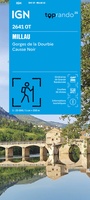 Wandelkaart 2641OT Millau / Gorges de la Dourbie / Causse Noir | IGN - Institut Géographique National★★★★★
 Wandelkaart - Topografische kaart 2642ET St.-Guilhem-le-Desert | IGN - Institut Géographique National
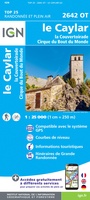 Wandelkaart - Topografische kaart 2642OT Le Caylar - La Couvertoirade | IGN - Institut Géographique National★★★★★
 Wandelkaart 2643ET Clermont-l'Hérault | IGN - Institut Géographique National
 Wandelkaart - Topografische kaart 2643OT Lodeve | IGN - Institut Géographique National
 Wandelkaart - Topografische kaart 2644OT Pézenas - Murviel-lès-Béziers | IGN - Institut Géographique National
 Wandelkaart - Topografische kaart 2645ET Cap d'Agde - Sète - Etang de Thau | IGN - Institut Géographique National
Laatste reviews

Nederlandstalige (vertaalde) reisgids met veel informatie, ook over praktische zaken. Duidelijke streek- en stadkaartjes met wandelroutes, ook handig.
★★★★★ door Kees H. 30 december 2025 | Heeft dit artikel gekocht
Dit boekje met beknopte omschrijving en de erin afgedrukte wandel(deel)kaarten vormen een prima basis voor het rondje Limburg. Je bent vrij om te bepalen waar …
★★★★★ door Greenline 29 december 2025 | Heeft dit artikel gekocht
Snel geleverd en goede wandelkaart
★★★★★ door Rinske 29 december 2025 | Heeft dit artikel gekocht
De ervaring met KOMPASS kaart/gids is wederom positief. Om een wandelvakantie voor te bereiden is dit een perfecte combinatie. Door de hoogteprofielen welke zijn afgedrukt …
★★★★★ door Greenline 29 december 2025 | Heeft dit artikel gekocht