Top 25
De kaarten van IGN (kort voor Institute Geographique National), wandelkaarten voor Frankrijk, zijn van een ongekend hoog niveau. Met name de wandelkaarten 1:25.000 vinden wij geweldig: werkelijk alles staat erop, de kaarten bevatten zeer veel details en het kleurgebruik is fantastisch, waardoor alles ook nog eens heel goed leesbaar. Je hoort het: wij zijn fan van deze kaarten!
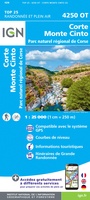 Wandelkaart - Topografische kaart 4250OT Corte - Monte Cinto | IGN - Institut Géographique National★★★★★★★★★★
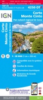 Wandelkaart - Topografische kaart 4250OTR Corte - Monte Cinto | IGN - Institut Géographique National
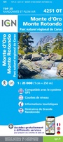 Wandelkaart - Topografische kaart 4251OT Monte d'Oro - Monte Rotondo | IGN - Institut Géographique National★★★★★
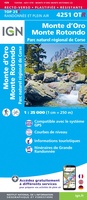 Wandelkaart - Topografische kaart 4251OTR Monte d'Oro - Monte Rotondo | IGN - Institut Géographique National
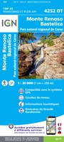 Wandelkaart - Topografische kaart 4252OT Monte Renoso | IGN - Institut Géographique National
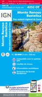 Wandelkaart - Topografische kaart 4252OTR Monte Renoso | IGN - Institut Géographique National
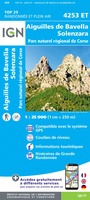 Wandelkaart - Topografische kaart 4253ET Aiguilles-de-Bavella - Solenzara | IGN - Institut Géographique National
 Wandelkaart - Topografische kaart 4253OT Petreto-Bicchisano - Zicavo | IGN - Institut Géographique National
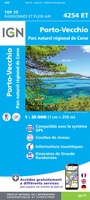 Wandelkaart - Topografische kaart 4254ET Porto-Vecchio | IGN - Institut Géographique National
 Wandelkaart - Topografische kaart 4254OT Sartène | IGN - Institut Géographique National
 Wandelkaart - Topografische kaart 4255OT Bonifacio | IGN - Institut Géographique National
 Wandelkaart - Topografische kaart 4347OT Cap Corse | IGN - Institut Géographique National
 Wandelkaart - Topografische kaart 4348OT Bastia | IGN - Institut Géographique National
 Wandelkaart - Topografische kaart 4349OT Vescovato | IGN - Institut Géographique National
 Wandelkaart - Topografische kaart 4351OT Cervione | IGN - Institut Géographique National
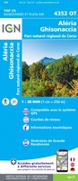 Wandelkaart - Topografische kaart 4352OT Aléria - Ghisonaccia | IGN - Institut Géographique National
 Wandelkaart - Topografische kaart 4401RT Saint-Paul-Le-Port, Reunion | IGN - Institut Géographique National
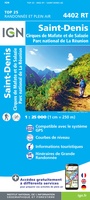 Wandelkaart - Topografische kaart 4402RT St-Denis, La Reunion | IGN - Institut Géographique National
 Wandelkaart - Topografische kaart 4402RTR Saint-Denis - Cirques Mafate & Salasie PN Réunion | IGN - Institut Géographique National1
 Wandelkaart - Topografische kaart 4403RT St-Benoit, St-André, la Reunion | IGN - Institut Géographique National
Laatste reviews

Bevat de gehele Picos de Europa. Goed in detail. Alle routes GR en PR-PNPE. Refugres en nog veel meer. Schaal 1 op 25.000 is fijn …
★★★★★ door M H 03 april 2026 | Heeft dit artikel gekocht
De bestelling snel en netjes afgehandeld
★★★★★ door Tiny Waltmans 03 april 2026 | Heeft dit artikel gekocht
Ik ben dol op de veldkaarten over verschillende vogelsoorten, per land of werelddelen. Deze keer de kaart besteld over vogelsoorten in Afrika en tijdens mijn …
★★★★★ door Kelly Bosch 02 april 2026 | Heeft dit artikel gekocht
Precies wat ik zocht. De informatie op de website was duidelijk en klopte. Het was eerst niet leverbaar, maar ik had aangegeven dat ik bericht …
★★★★★ door Mieke van den Broek 01 april 2026 | Heeft dit artikel gekocht