Top 25
De kaarten van IGN (kort voor Institute Geographique National), wandelkaarten voor Frankrijk, zijn van een ongekend hoog niveau. Met name de wandelkaarten 1:25.000 vinden wij geweldig: werkelijk alles staat erop, de kaarten bevatten zeer veel details en het kleurgebruik is fantastisch, waardoor alles ook nog eens heel goed leesbaar. Je hoort het: wij zijn fan van deze kaarten!
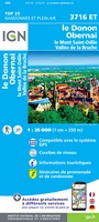 Wandelkaart - Topografische kaart 3716ET le Donon, Obernai, Mont Ste-Odile | IGN - Institut Géographique National★★★★★
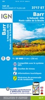 Wandelkaart - Topografische kaart 3717ET Barr - Le Howald - Villé - Vallée de la Bruche | IGN - Institut Géographique National★★★★★
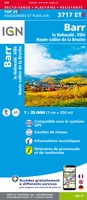 Wandelkaart - Topografische kaart 3717ETR Barr / Le Howald / Villé / Hte Vallée de la Bruche | IGN - Institut Géographique National
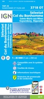 Wandelkaart - Topografische kaart 3718OT Selestat - Col Du Bonhomme | IGN - Institut Géographique National★★★★★
 Wandelkaart - Topografische kaart 3718OTR Sélestat, Col du Bonhomme | IGN - Institut Géographique National
 Wandelkaart - Topografische kaart 3719OT Colmar & Le Hohneck | IGN - Institut Géographique National★★★★★★★★★★
 Wandelkaart - Topografische kaart 3719OTR Colmar, Le Hohneck | IGN - Institut Géographique National
 Wandelkaart - Topografische kaart 3720ET Mulhouse | IGN - Institut Géographique National
 Wandelkaart - Topografische kaart 3721ET Altkirch - Bâle - Sundgau | IGN - Institut Géographique National
 Wandelkaart - Topografische kaart 3741ET Vallée de la Bévera | IGN - Institut Géographique National★★★★★
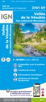 Wandelkaart - Topografische kaart 3741OT Vallée de la Vesubie | IGN - Institut Géographique National★★★★★
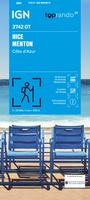 Wandelkaart 3742OT Nice / Menton / Côte d'Azur | IGN - Institut Géographique National★★★★★★★★★★
 Wandelkaart - Topografische kaart 3814ET Hagenau - Lembach - PNR des Vosges du Nord | IGN - Institut Géographique National★★★★★
 Wandelkaart - Topografische kaart 3816OT Strasbourg | IGN - Institut Géographique National★★★★★
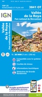 Wandelkaart - Topografische kaart 3841OT Vallée de la Roya | IGN - Institut Géographique National★★★★★
 Wandelkaart - Topografische kaart 3914OT Wissembourg | IGN - Institut Géographique National
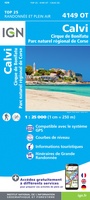 Wandelkaart - Topografische kaart 4149OT Calvi - Cirque de Bonifatu | IGN - Institut Géographique National
 Wandelkaart - Topografische kaart 4150OT Porto - Calanche du Piana | IGN - Institut Géographique National★★★★★
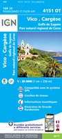 Wandelkaart - Topografische kaart 4151OT Vico - Cargèse | IGN - Institut Géographique National
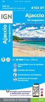 Wandelkaart - Topografische kaart 4153OT Ajaccio | IGN - Institut Géographique National
Laatste reviews

Rother wandelgidsen stellen nooit teleur. Mooie routes, goede opgave kilometers, hoogtemeters en horeca. Een aanrader!
★★★★★ door Anita Geel 13 januari 2026 | Heeft dit artikel gekocht
Mooi boek met prachtige foto’s! Voldoet helemaal aan mijn verwachtingen.
★★★★★ door Hans Eldering 13 januari 2026 | Heeft dit artikel gekocht
het product voldeed aan mijn verwachtingen en was geplastificeerd wat natuurlijk perfect is voor kaart die veel wordt geraadpleegd!
★★★★★ door Peter Lantinga 13 januari 2026 | Heeft dit artikel gekocht
Ik heb de wegenkaart Maleisië aangeschaft om zelf een rondreis per huurauto te kunnen plannen. Deze kaart heeft daar heel goed bij geholpen doordat er …
★★★★★ door M. Rizvi 13 januari 2026 | Heeft dit artikel gekocht