Top 25
De kaarten van IGN (kort voor Institute Geographique National), wandelkaarten voor Frankrijk, zijn van een ongekend hoog niveau. Met name de wandelkaarten 1:25.000 vinden wij geweldig: werkelijk alles staat erop, de kaarten bevatten zeer veel details en het kleurgebruik is fantastisch, waardoor alles ook nog eens heel goed leesbaar. Je hoort het: wij zijn fan van deze kaarten!
 Wandelkaart - Topografische kaart 3342OT Manosque - Forcalquier | IGN - Institut Géographique National
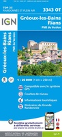 Wandelkaart - Topografische kaart 3343OT Gréoux-les-Bains - Rians | IGN - Institut Géographique National
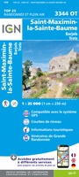 Wandelkaart - Topografische kaart 3344OT Saint-Maximin-la-Sainte-Baume | IGN - Institut Géographique National
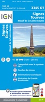 Wandelkaart - Topografische kaart 3345OT Signes – Tourves | IGN - Institut Géographique National
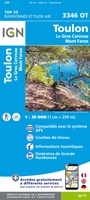 Wandelkaart - Topografische kaart 3346OT Toulon | IGN - Institut Géographique National
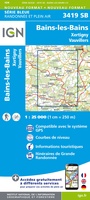 Wandelkaart - Topografische kaart 3419 Bains-les-Bains | IGN - Institut Géographique National
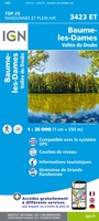 Wandelkaart - Topografische kaart 3423ET Baumes-les-Dames, Vallee du Doubs | IGN - Institut Géographique National
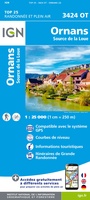 Wandelkaart - Topografische kaart 3424OT Ornans, Source de la Loue | IGN - Institut Géographique National
 Wandelkaart - Topografische kaart 3425OT Pontarlier | IGN - Institut Géographique National★★★★★
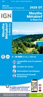 Wandelkaart - Topografische kaart 3426OT Mouthe - Métabief | IGN - Institut Géographique National★★★★★
 Wandelkaart - Topografische kaart 3428ET Thonon les Bains - Évian les Bains | IGN - Institut Géographique National
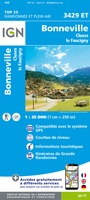 Wandelkaart - Topografische kaart 3429ET Bonneville | IGN - Institut Géographique National
 Wandelkaart - Topografische kaart 3429OT Geneve | IGN - Institut Géographique National
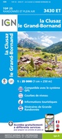 Wandelkaart - Topografische kaart 3430ET La Clusaz - le Grand-Bornand | IGN - Institut Géographique National★★★★★
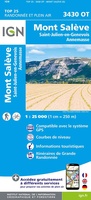 Wandelkaart - Topografische kaart 3430OT Mont Salève | IGN - Institut Géographique National
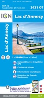 Wandelkaart - Topografische kaart 3431OT Lac d'Annecy | IGN - Institut Géographique National★★★★★
 Wandelkaart - Topografische kaart 3431OTR Lac d'Annecy | IGN - Institut Géographique National
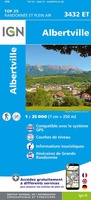 Wandelkaart - Topografische kaart 3432ET Albertville | IGN - Institut Géographique National
 Wandelkaart - Topografische kaart 3432OT Massif des Bauges | IGN - Institut Géographique National
 Wandelkaart - Topografische kaart 3432OTR Massif des Bauges | IGN - Institut Géographique National
Laatste reviews

Bevat de gehele Picos de Europa. Goed in detail. Alle routes GR en PR-PNPE. Refugres en nog veel meer. Schaal 1 op 25.000 is fijn …
★★★★★ door M H 03 april 2026 | Heeft dit artikel gekocht
De bestelling snel en netjes afgehandeld
★★★★★ door Tiny Waltmans 03 april 2026 | Heeft dit artikel gekocht
Ik ben dol op de veldkaarten over verschillende vogelsoorten, per land of werelddelen. Deze keer de kaart besteld over vogelsoorten in Afrika en tijdens mijn …
★★★★★ door Kelly Bosch 02 april 2026 | Heeft dit artikel gekocht
Precies wat ik zocht. De informatie op de website was duidelijk en klopte. Het was eerst niet leverbaar, maar ik had aangegeven dat ik bericht …
★★★★★ door Mieke van den Broek 01 april 2026 | Heeft dit artikel gekocht