Winkelwagen
Geen items in winkelwagen
Ga naar winkelwagen
Superwalker XT25 maps
De ultieme kaarten voor wandelaars: ontdek de Super Walker XT25 Maps van Harvey Maps
De Super Walker Maps van Harvey Maps zijn de ultieme kaarten voor wandelaars en outdoorliefhebbers. Met hun uitgebreide topografische details, duidelijke afstandsmarkeringen en stijlvolle design, bieden deze kaarten alles wat je nodig hebt om te navigeren op je wandeltocht.
Of je nu een ervaren wandelaar bent of gewoon op zoek bent naar een nieuwe uitdaging, de Super Walker Maps van Harvey Maps bieden de perfecte combinatie van functionaliteit en stijl. De kaarten zijn gemaakt van water- en scheurbestendig papier, zodat je ze overal mee naartoe kunt nemen zonder je zorgen te hoeven maken over beschadiging.
Met hun uitgebreide dekking van het Verenigd Koninkrijk, zijn de Super Walker Maps van Harvey Maps de ideale keuze voor iedereen die op zoek is naar een betrouwbare en aantrekkelijke kaart om op te vertrouwen tijdens hun wandelavonturen. Dus als je op zoek bent naar de perfecte kaart om je te helpen bij het navigeren op je volgende wandeltocht, kijk dan zeker eens naar de Super Walker Maps van Harvey Maps.
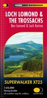 Wandelkaart Loch Lomond & The Trossachs | Harvey Maps
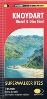 Wandelkaart Knoydart / Kintail / Glen Shiel harvey | Harvey Maps
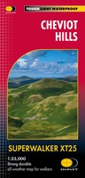 Wandelkaart Cheviot Hills | Harvey Maps
 Wandelkaart Lake District East | Harvey Maps
 Wandelkaart Lake District Noord | Harvey Maps
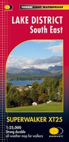 Wandelkaart Lake District Zuid Oost | Harvey Maps
 Wandelkaart Exmoor | Harvey Maps
 Wandelkaart Ben Lawers & Schiehallion | Harvey Maps
 Wandelkaart Arran including Arran Coastal Way | Harvey Maps★★★★★
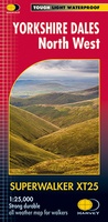 Wandelkaart Yorkshire Dales Noord-West | Harvey Maps
 Wandelkaart Yorkshire Dales Zuid-West | Harvey Maps
 Wandelkaart Brecon Beacons Oost | Harvey Maps
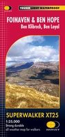 Wandelkaart Foinaven & Ben Hope | Harvey Maps
 Wandelkaart Snowdonia Central | Harvey Maps
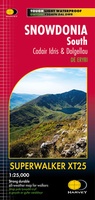 Wandelkaart Snowdonia South | Harvey Maps
Laatste reviews

Simpele keuze ondersteuning op website en hele snelle levering
Kort voor vakantie naar de Galapagos eilanden toch nog behoefte aan extra reisgids. Simpel kunnen bestellen en snelle levering. Zou niet weten wat er beter …
★★★★★ door Piet Grootenboer 25 juni 2026 | Heeft dit artikel gekocht
Te gek
Enorm mooie wereldkaart met details en snelle fijne levering.
★★★★★ door Steven Goyvaerts 25 juni 2026 | Heeft dit artikel gekocht
Goede gids voor pelgrims
Deze Cicerone gids over de via Francigena is uitermate geschikt om je route en etappes te plannen als je de Via Francigena vanuit Zwitserland gaat …
★★★★★ door Vic 24 juni 2026 | Heeft dit artikel gekocht
Aantrekkelijk en boordevol nuttige info
Heerlijk om al te kunnen voorbereiden op een fantastische vakantie met dit uiterst fijne boek.
★★★★★ door Harry 24 juni 2026 | Heeft dit artikel gekocht