Wandkaart Antarctica – Zuidpool, 120 x 100 cm | Maps International (9781904892076)
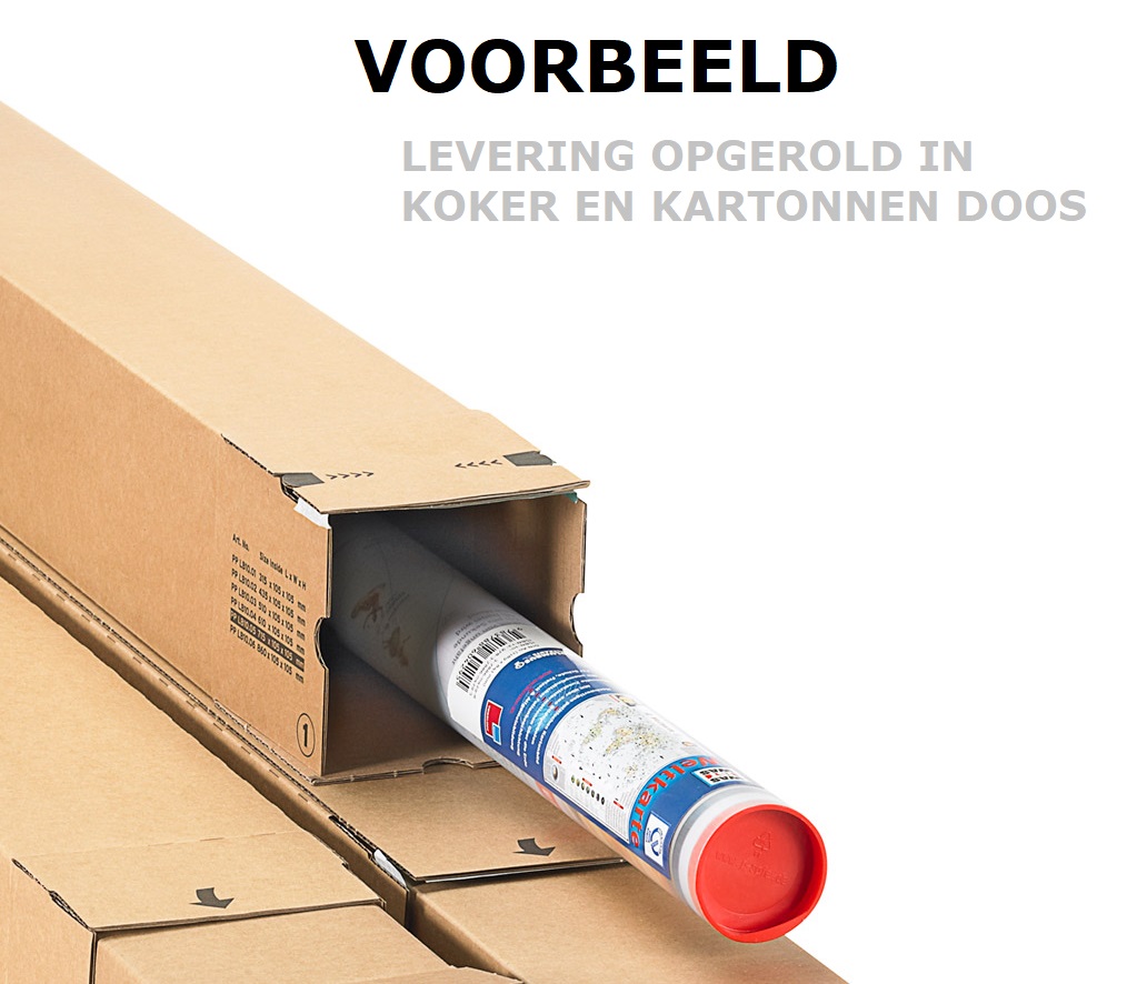
geplastificeerd

- ISBN / CODE: 9781904892076
- Editie: 07-12-2022
- Aantal blz.: 1
- Schaal: 1:7000000
- Uitgever: Maps International
- Soort: Wandkaart van continenten
- Taal: Engels
- Hoogte: 99.0 cm
- Breedte: 120.0 cm
- Gewicht: 340.0 g
- Uitvoering: Papier
- Schrijf als eerste een review
-
€ 37,95
Leverbaar in 3 - 5 werkdagen in huis in Nederland Levertijd Belgie
Gratis verzending in Nederland vanaf €50,-

Beschrijving
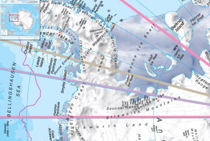
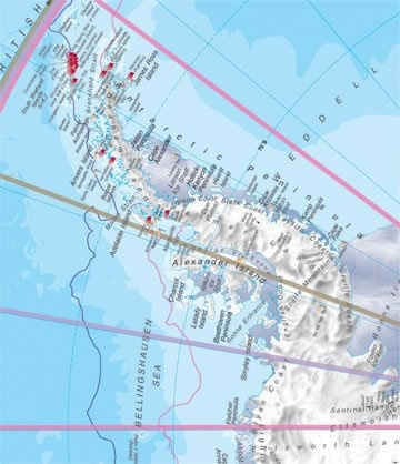
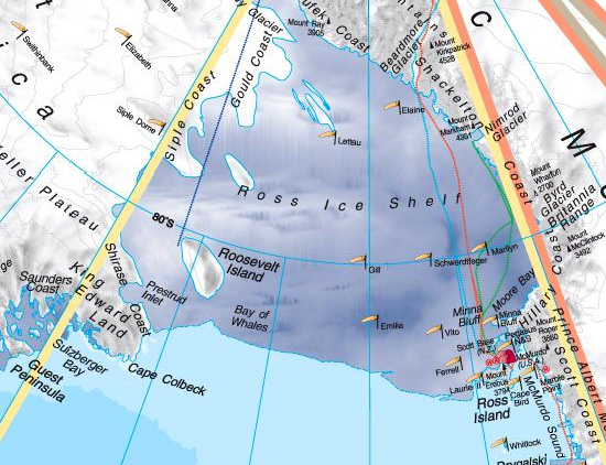
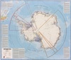
Fraaie kaart van het continent waarbij zowel de natuurkundige als de politieke aspecten zichtbaar zijn. Alle bezettingsstations, berggebieden en landingsplaatsen staan er op. Dit is een geplastificeerde versie.
Maps International's collection of continental maps would not be complete without this political Antarctica map.
Dit product heeft meerdere varianten:


Reviews
Geen reviews gevonden voor dit product.
Schrijf een review
Graag horen wij wat u van dit artikel vindt. Vindt u het goed, leuk, mooi, slecht, lelijk, onbruikbaar of erg handig: schrijf gerust alles op! Het is niet alleen leuk om te doen maar u informeert andere klanten er ook nog mee!
Ook interessant voor oceanie/antarctica
-

Wandkaart Antarctica – Zuidpool, 120
€ 27,95Wandkaarten van continenten Antarctica -

Reisverhaal South | Ernest Henry Sha
€ 25,00Reisverhalen Antarctica -

Wegenkaart - landkaart South America
€ 18,50Wegenkaarten Antarctica -

Natuurgids Antarctica: A Guide to th
€ 27,95Natuurgidsen Antarctica -

Reisgids Antarctica: Guide to your a
€ 24,95Reisgidsen Antarctica