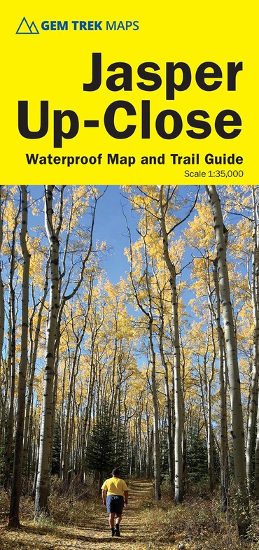
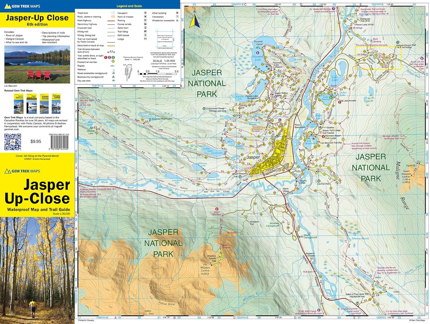
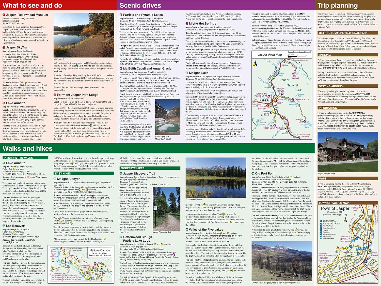
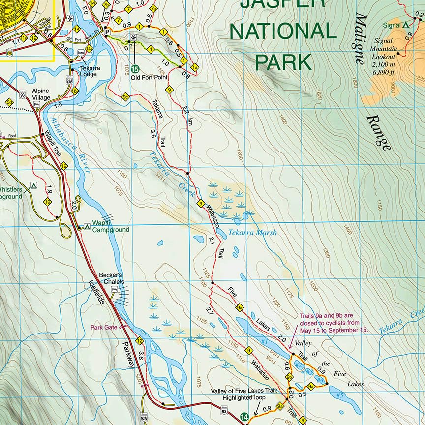
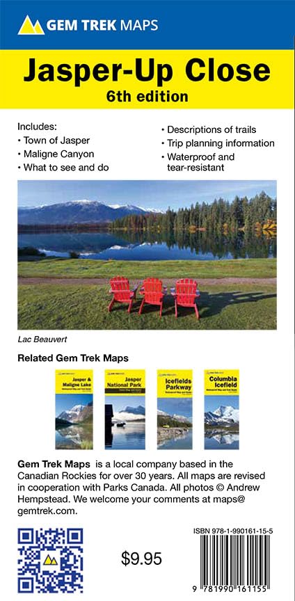
Wandelkaart 12 Jasper Up-Close | Gem Trek Maps (9781990161155)
- ISBN / CODE: 9781990161155
- Editie: 01-05-2025
- Druk: 6
- Aantal blz.: 1
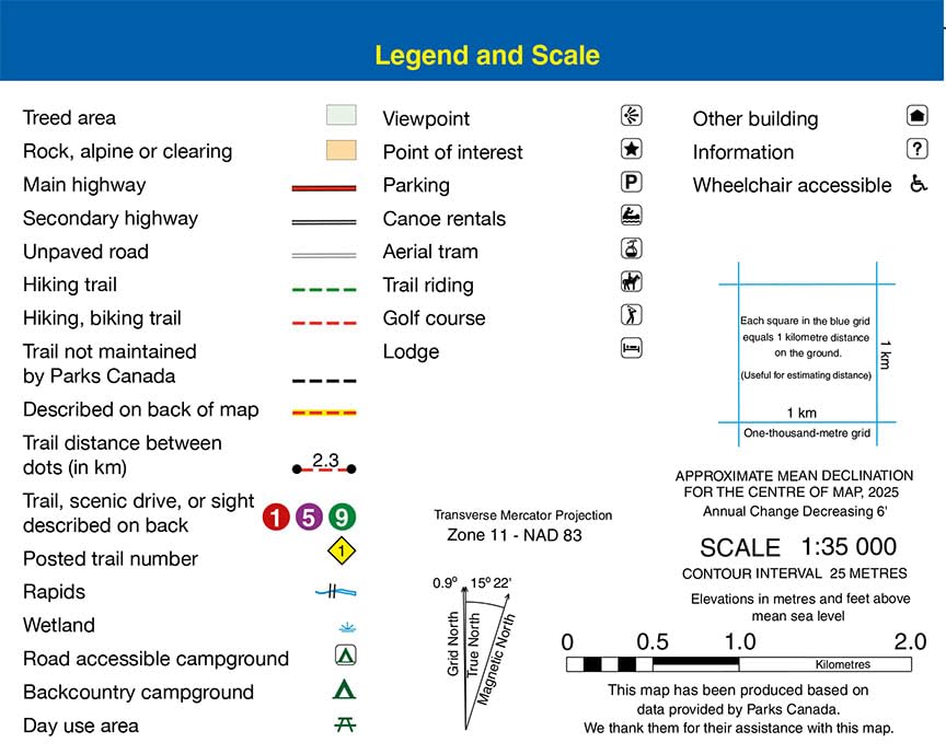
- Schaal: 1:35000
- Uitgever: Gem Trek Maps
- Soort: Wandelkaart
- Serie: Trail maps
- Taal: Engels
- Hoogte: 23.0 cm
- Breedte: 10.0 cm
- Gewicht: 42.0 g
- Bindwijze: -
- Uitvoering: Scheur- en watervast
- Schrijf als eerste een review
-
€ 13,95
Leverbaar in 3 - 5 werkdagen in huis in Nederland Levertijd Belgie
Gratis verzending in Nederland vanaf €35,-


-
Overzicht Gem trek wandelkaarten British Columbia

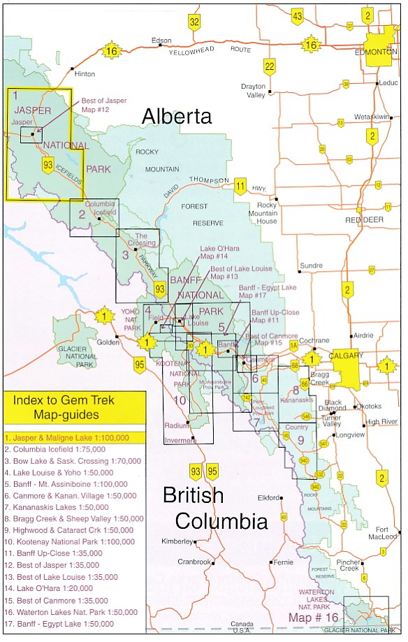
Producten op deze overzichtskaart:
Klik op een product om naar de pagina van dat product te gaan.
- Wandelkaart 01 Jasper National Park & Maligne Lake | Gem Trek Maps
- Wandelkaart 02 Columbia Icefield | Gem Trek Maps
- Wandelkaart 03 Bow Lake / Saskatchewan Crossing | Gem Trek Maps
- Wandelkaart 04 Lake Louise & Yoho | Gem Trek Maps
- Wandelkaart 05 Banff Mount Assiniboine | Gem Trek Maps
- Wandelkaart 06 Canmore & Kananaskis Village | Gem Trek Maps
- Wandelkaart 07 Kananaskis Lakes | Gem Trek Maps
- Wandelkaart 08 Bragg Creek and Sheep Valley | Gem Trek Maps
- Wandelkaart 09 Highwood / Cataract Creek | Gem Trek Maps
- Wandelkaart 10 Kootenay National Park | Gem Trek Maps
- Wandelkaart 11 Banff Up-Close | Gem Trek Maps
- Wandelkaart 12 Jasper Up-Close | Gem Trek Maps
- Wandelkaart 14 Lake O'Hara | Gem Trek Maps
- Wandelkaart 15 Canmore Up-Close | Gem Trek Maps
- Wandelkaart 16 Waterton Lakes NP | Gem Trek Maps
- Wandelkaart 17 Banff - Egypt Lake | Gem Trek Maps
- Wandelkaart Canmore / Kananaskis village | Gem Trek Maps
- Wandelkaart Lake Louise & Moraine Lake | Gem Trek Maps
Overzichtskaarten
Beschrijving
Reviews
Geen reviews gevonden voor dit product.
Schrijf een review
Graag horen wij wat u van dit artikel vindt. Vindt u het goed, leuk, mooi, slecht, lelijk, onbruikbaar of erg handig: schrijf gerust alles op! Het is niet alleen leuk om te doen maar u informeert andere klanten er ook nog mee!
Ook interessant voor noord-amerika/canada/canadian-rockies-banff
-

Wandelgids Canadian Rockies Trail Gu
€ 29,95Wandelgidsen Alberta -

Wegenkaart - landkaart Kananaskis Co
€ 13,95Wegenkaarten Canadian Rockies & Banff -

Reisgids Best of Glacier, Banff and
€ 24,50Reisgidsen Canadian Rockies & Banff -

Legpuzzel Maligne Lake Alberta - Can
€ 18,99Legpuzzels - 1000 stukjes Alberta -

Wandelkaart - Wegenkaart - landkaart
€ 18,50Wandelkaarten Alberta