Castilla-La Mancha
 Wegenkaart - landkaart Mapa Provincial Toledo | CNIG - Instituto Geográfico Nacional
Deze kaart is zuiver gericht op de provincie als in de titel. Gebieden naast de kaart worden zonder kleur weergegeven. Ideale kaart als het gaat om het onderscheid in topografische …
 Wandelkaart 13 Parques Nacionales Cabaneros Nationaal Park | CNIG - Instituto Geográfico Nacional
Topografische kaart 1:25.000 met ingetekende wandelroutes en begeleidend gidsje (spaanstalig) van het Cabaneros National Park in de provincies Ciudad Real en Toledo Parque Nacional de Cabañeros - El Medio natural …
 Topografische kaart 535 MT50 Algete | CNIG - Instituto Geográfico Nacional1
 Topografische kaart 536 MT50 Guadalajara | CNIG - Instituto Geográfico Nacional1
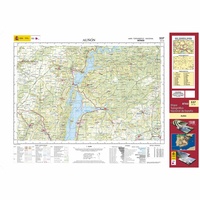 Topografische kaart 537 MT50 Auñón | CNIG - Instituto Geográfico Nacional1
 Topografische kaart 538 MT50 Valdeolivas | CNIG - Instituto Geográfico Nacional
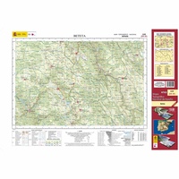 Topografische kaart 539 MT50 Beteta | CNIG - Instituto Geográfico Nacional1
 Topografische kaart 540 MT50 Checa | CNIG - Instituto Geográfico Nacional1
 Topografische kaart 540-I Checa | CNIG - Instituto Geográfico Nacional1
 Topografische kaart 540-II Alustante | CNIG - Instituto Geográfico Nacional
 Topografische kaart 540-III Orea | CNIG - Instituto Geográfico Nacional
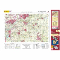 Topografische kaart 560 MT50 Alcalá de Henares | CNIG - Instituto Geográfico Nacional1
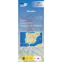 Topografische kaart 562-I Sacedón | CNIG - Instituto Geográfico Nacional
 Topografische kaart 563 MT50 Priego | CNIG - Instituto Geográfico Nacional1
 Topografische kaart 564 MT50 Fuertescusa | CNIG - Instituto Geográfico Nacional1
 Topografische kaart 565 MT50 Tragacete | CNIG - Instituto Geográfico Nacional1
 Topografische kaart 565-I Griegos | CNIG - Instituto Geográfico Nacional1
 Topografische kaart 565-III Tragacete | CNIG - Instituto Geográfico Nacional1
 Topografische kaart 578 MT50 Arenas de San Pedro | CNIG - Instituto Geográfico Nacional1
 Topografische kaart 432-I Riaza | CNIG - Instituto Geográfico Nacional1
- 1
- 2
- 3
- Volgende >>
- 6
Laatste reviews

Prachtige wandelgids voorzien van alle voor de wandelaars benodigde informatie (accommodaties, restaurants en cafés, vervoersmogelijkheden enz.). Ook is de gids beschreven in twee richtingen en …
★★★★★ door Mathie Hoenjet 27 juni 2026 | Heeft dit artikel gekocht
Zoals altijd duidelijke en overzichtelijke kaart van Michelin
★★★★★ door Charles Trippelvitz 26 juni 2026 | Heeft dit artikel gekocht
Door deze gids konden we ons heel goed voorbereiden op onze fietstocht. En het gebruik onderweg was ook prima. Jammer dat de campings onderweg wat …
★★★★★ door Helma Feenstra 26 juni 2026 | Heeft dit artikel gekocht
Kort voor vakantie naar de Galapagos eilanden toch nog behoefte aan extra reisgids. Simpel kunnen bestellen en snelle levering. Zou niet weten wat er beter …
★★★★★ door Piet Grootenboer 25 juni 2026 | Heeft dit artikel gekocht