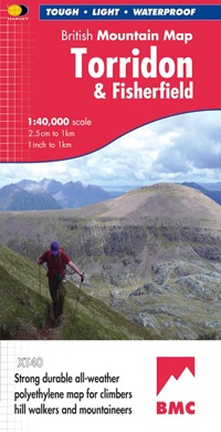
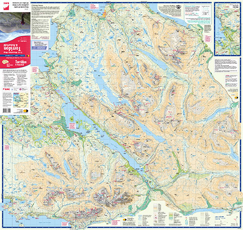
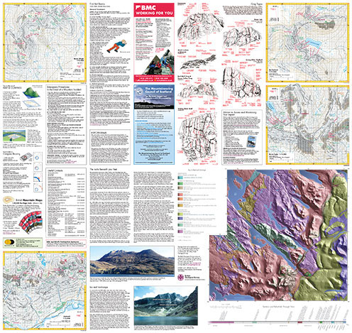
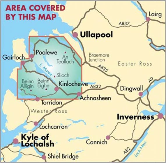
Wandelkaart Torridon & Fisherfield | Harvey Maps (9781851375042)
- ISBN / CODE: 9781851375042
- Editie: 01-12-2022
- Aantal blz.: 1
- Schaal: 1:40000
- Uitgever: Harvey Maps
- Soort: Wandelkaart
- Serie: British Mountain Maps
- Taal: Engels
- Hoogte: 24.0 cm
- Breedte: 14.0 cm
- Gewicht: 94.0 g
- Bindwijze: -
- Uitvoering: Scheur- en watervast
- Schrijf als eerste een review
-
€ 31,95
Leverbaar in 3 - 5 werkdagen in huis in Nederland Levertijd Belgie
Gratis verzending in Nederland vanaf €50,-

-
Overzicht British Mountain Maps
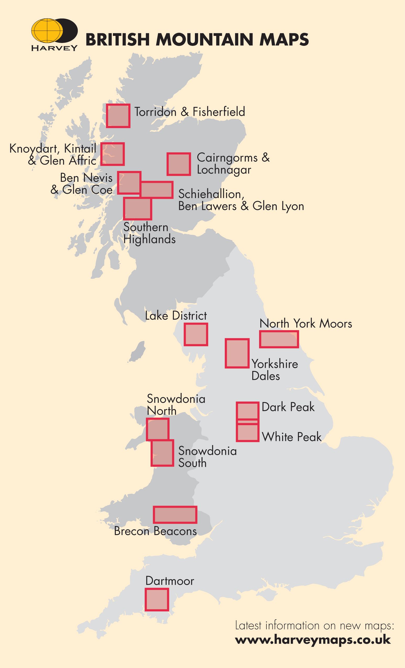
Producten op deze overzichtskaart:
Klik op een product om naar de pagina van dat product te gaan.
- Wandelkaart Assynt & Coigach | Harvey Maps
- Wandelkaart Ben Nevis & Glen Coe | Harvey Maps
- Wandelkaart Brecon Beacons | Harvey Maps
- Wandelkaart Cairngorms & Lochnagar | Harvey Maps
- Wandelkaart Dark Peak - Peak District National Park XT40 BMM | Harvey Maps
- Wandelkaart Dartmoor | Harvey Maps
- Wandelkaart Knoydart / Kintail & Glen Affric | Harvey Maps
- Wandelkaart Lake District | Harvey Maps
- Wandelkaart North York Moors | Harvey Maps
- Wandelkaart Schiehallion / Ben Lawers & Glen Lyon | Harvey Maps
- Wandelkaart Snowdonia Noord | Harvey Maps
- Wandelkaart Snowdonia Zuid | Harvey Maps
- Wandelkaart Southern Highlands XT40 BMM | Harvey Maps
- Wandelkaart Torridon & Fisherfield | Harvey Maps
- Wandelkaart White Peak | Harvey Maps
- Wandelkaart Yorkshire Dales | Harvey Maps
Overzichtskaarten
Beschrijving
Reviews
Geen reviews gevonden voor dit product.
Schrijf een review
Graag horen wij wat u van dit artikel vindt. Vindt u het goed, leuk, mooi, slecht, lelijk, onbruikbaar of erg handig: schrijf gerust alles op! Het is niet alleen leuk om te doen maar u informeert andere klanten er ook nog mee!
Ook interessant voor europa/schotland/overig-noord
-

Wandelgids 1 Walking The Munros Vol
€ 23,95Wandelgidsen Schotse Hooglanden & Speyside -

Wandelkaart - Topografische kaart 29
€ 26,95Topografische kaarten Schotse Hooglanden & Speyside -

Wandelkaart - Topografische kaart 02
€ 20,95Topografische kaarten Schotse Hooglanden & Speyside -

Wandelkaart - Topografische kaart 03
€ 20,95Topografische kaarten Schotse Hooglanden & Speyside -

Wegenkaart - landkaart 1 North Scotl
€ 12,95Wegenkaarten Schotse Hooglanden & Speyside