Wandelgidsen - Schotse Hooglanden & Speyside
 Wandelgids Weekend Walks Moray | Pocket Mountains
The Moray coastline has a string of superb sandy beaches, and towns such as Buckie, Lossiemouth and Nairn (historically part of Morayshire) have long been popular for family holidays. …
 Wandelgids Scotland's Best Small Mountains | Cicerone
A guidebook to 40 of the best small mountains in Scotland under 3000ft. Explore the beautiful scenery of Sutherland and the far north, Torridon, Lochaber, the Great Glen, the Cairngorms, …
 Wandelgids Cairngorms North | Mica Publishing
A detailed and superbly illustrated guidebook to walking the high tops, foothills, forests and glens of the Northern Cairngorms, one of Scotland's most popular mountain ranges, easily accessed from the …
 Wandelgids 30 Pathfinder Guides Loch Ness and Inverness | Ordnance Survey
Explore 28 beautiful walks across Loch Ness & Inverness with the OS Pathfinder Guidebooks, graded by length and ranging from 2 to 16 miles. The routes range from extended …
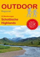 Wandelgids Schottische Highlands - 22 Wanderungen | Conrad Stein Verlag
Compacte Duitstalige wandelgids in zakformaat. Deze gids bevat kaartjes met de wandelingen erop ingetekend, hoogteprofielen, grafieken, beschrijving van de route en beknopte beschrijving van bezienswaardigheden en foto's. De wandelingen variëren …
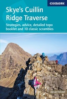 Wandelgids Skye's Cuillin Ridge Traverse | Cicerone
A guidebook to the Isle of Skye’s Cuillin Ridge Traverse. This 2-volume set is a comprehensive guide to planning and completing this challenging and technical 12km scramble. With a route …
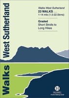 Wandelgids Walks West Sutherland | Hallewell Publications
This guide covers walks in the rugged, empty landscape of West Sutherland, in the far north-west of Scotland. Walks range from 1 mile to 14 miles (1.5-22.5km). Routes include: Point …
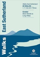 Wandelgids Walks East Sutherland | Hallewell Publications
This guide covers the less mountainous, eastern side of the county of Sutherland: an area of small coastal villages and wide, empty moorland. Walks range from 0.5 miles to 11 …
 Wandelgids Walks Caithness | Hallewell Publications
This guide covers the old county of Caithness: and area of low-lying moorland and spectacular cliffs in the far north-east of the Scottish mainland. Walks range from 1 mile to …
 Wandelgids Walks Wester Ross Northern Area | Hallewell Publications
This guide features walks in the northern part of Wester Ross, from the Coigach peninsula in the north to the northern end of Loch Maree, including the villages of Ullapool …
 Wandelgids Walks Easter Ross and the Black Isle | Hallewell Publications
This guide includes coastal walks on the two large headlands north of Inverness and routes through the hills and broad straths to the west. Walks range from 0.5 miles to …
 Wandelgids Walks Wester Ross Southern Area : Including Kyle of Lochalsh | Hallewell Publications
This guide features walks in the southern part of Wester Ross, in the area between Torridon in the north and Glenelg in the south. Walks range from 0.75 mile to …
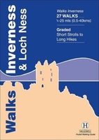 Wandelgids Walks Inverness and Loch Ness | Hallewell Publications
This guide includes walks near the city of Inverness, in the hills around Loch Ness and in the glens to the north. Walks range from 0.25 miles to 25 miles …
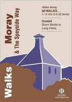 Wandelgids Walks Moray and the Speyside Way | Hallewell Publications
This guide covers the county of Moray in north-east Scotland – famous for its whisky distilleries. Includes coastal walks and hill routes in the northern Cairngorms. Walks range from 0.3 …
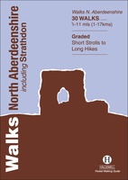 Wandelgids Walks North Aberdeenshire | Hallewell Publications
This guide covers hilly Strathdon and the farmland north of Aberdeen, plus the cliffs, beaches and fishing villages of the north-east coast. Walks range from 0.5 miles to 11 miles …
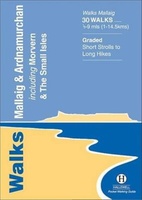 Wandelgids Walks Mallaig and Ardnamurchan | Hallewell Publications
This guide covers the vast and spectacular west of Lochaber, and includes moorland walks, hill climbs, beach walks as well as walks on the Small Isles and Knoydart. Walks range …
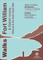 Wandelgids Walks Fort William and District | Hallewell Publications
Including Glencoe and the lower Great Glen, this guide covers the mountainous district of central Lochaber, including Britain’s highest peak – Ben Nevis – and the dramatic scenery around Glen …
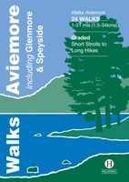 Wandelgids Walks Aviemore : Including Glenmore & Speyside | Hallewell Publications
This guide covers an upper stretch of the Spey Valley, from Grantown-on-Spey in the north to Newtonmore in the south. The main walking centres are Aviemore and Glenmore; the bulk …
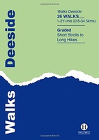 Wandelgids Deeside | Hallewell Publications
This guide covers the walks around Royal Deeside: Banchory, Aboyne, Ballater and Braemar, as well as Balmoral. Routes include climbs in the Cairngorm National Park, hill paths around Loch Muick …
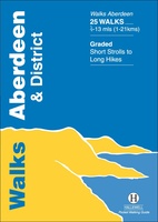 Wandelgids Aberdeen and District | Hallewell Publications
Walks Aberdeen & District covers the city of Aberdeen and the surrounding coast and countryside. Most of the walks are fairly gentle, though there are some fine hill walks on …
Laatste reviews

We hebben een landkaart van Albanië besteld. Deze hebben we in goede staat ontvangen
★★★★★ door Ida van der Heiden 26 april 2024 | Heeft dit artikel gekocht
Zoals gewend van de Alpverein weer een mooie en duidelijke kaart voor dit mooie wandelgebied incl. hutten.
★★★★★ door B van R 26 april 2024 | Heeft dit artikel gekocht
Duidelijke en mooie kaart van het gebied. Oogt stevig/dik waardoor niet snel kapot tijdens wandelingen. Sommige tekens zijn wel wat aan de kleine kant waardoor …
★★★★★ door B van R 26 april 2024 | Heeft dit artikel gekocht
Voor een reis Ivoorkust is er weiniginformatie te vinden. Dit boek brengt het meeste. Duidelijk en overzichtelijk.
★★★★★ door Annemiek van Riezen 26 april 2024 | Heeft dit artikel gekocht