Schotland
 Wandelgids The Speyside Way | Rucksack Readers
Deze gids een goede beschrijving van de lange afstands route. De kaarten zijn schetsmatig maar wel duidelijk. The Speyside Way is one of Scotland’s Great Trails. It runs for 80 …
 Wegenatlas Great Britain and Ireland 2025 - Groot Brittannie en Ierland | Michelin
Zoals je mag verwachten van Michelin ook voor Engeland, Schotland en Ierland weer een handige atlas in ringband op A4 formaat. De kaarten zijn goed leesbaar, altijd een pluspunt bij …
★★★★★ Reisgids Dominicus Schotland | Gottmer
 Reisgids Merian live Schotland | Deltas
Reisgids Schotland klein en handzaam : Merian live! Schotland ontdekken en beleven, een handzame reisgezel, met actuele informatie over bezienswaardigheden, cafe's, hotels, de lokale keuken, winkelen en uitgaan. Aandacht voor …
 Wegenkaart - landkaart West Scotland & Western Isles | Nicolson
Based on the Ordnance Survey 1/250000 Road mapping. Road Map 2 covers West Scotland & the Western Isles. Please scroll through the images to see the area of coverage …
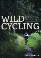 Fietsgids Wild Cycling | Little Brown
Compacte gids met 50 fietsroutes in de Britse wildernis. Met aanduiding van de moeilijkheid, hoogteprofielen en beschrijvingen van de fietstochten. Het kaartmateriaal is wel erg beperkt. Here is plenty …
 Reisgids Great Britain - Groot Britannië | Rough Guides
Zeer goede reisgids voor zowel de georganiseerde maar vooral voor de zelfstandige reiziger. Boordevol informatie over reizen, slapen, eten, maar ook musea en cultuur. Voor veel landen meestal completer en …
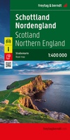 Wegenkaart - landkaart Schottland - Nordengland - Schotland + Engeland Noord | Freytag & Berndt
Wegenkaart Schotland – Noord-Engeland (1:400.000) | freytag & berndt Deze gedetailleerde autokaart van Schotland en Noord-Engeland op schaal 1:400.000 is een ideale reisgenoot voor wie het ruige noorden van Groot-Brittannië …
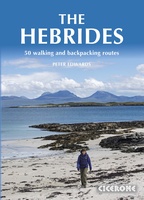 Wandelgids The Hebrides - De Hebriden Schotland | Cicerone
This inspirational guide offers 50 varied hiking and backpacking routes on the Scottish Hebrides islands, set out in a large guidebook to be savoured. The hikes highlight all the very …
 Wegenkaart - landkaart Ancient Britain | Ordnance Survey
The Ordnance Survey Ancient Britain map is a comprehensive guide to the most important archaeological sites of early English, Welsh and Scottish history. Ordnance Survey's Ancient Britain map shows Neolithic, …
 Reisgids Experience Scotland - Schotland | Lonely Planet
De nieuwste reisgidsen-serie van Lonely Planet: een luxe uitgave met als titel 'Experience... ' waarin aandacht voor de belangrijkste niet te missen hoogtepunten van het land. Ook hier wordt het …
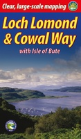 Wandelgids Loch Lomond & Cowal Way | Rucksack Readers
"Lavishly illustrated guidebook with route map plus practical information" - Scots Magazine The Loch Lomond & Cowal Way is one of Scotland's Great Trails. It runs for 57 miles (91 …
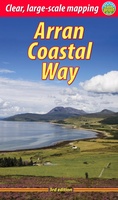 Wandelgids The Arran Coastal Way | Rucksack Readers
The Arran Coastal Way is perhaps Scotland's finest circular long-distance trail, running 65 miles (105 km) around the Isle of Arran in a memorable week-long hike from Brodick. It's accessible …
★★★★★★★★★★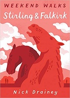 Wandelgids Stirling & Falkirk : Weekend Walks | Pocket Mountains
Handige compacte wandelgids met 40 dagwandelingen. Deze gids bevat kleine kaartjes en leuke uitgebreide informatie over wat er langs de route te zien is. Goede wandelkaarten zijn echter we noodzakelijk …
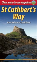 Wandelgids St. Cuthbert's Way | Rucksack Readers
Lange afstandswandelgids van de St. Cuthbert's Way wandeling. Wandelgids met kaarten en beschrijving. op waterbestendig papier, in spiraalbinding. Follow the footsteps of St Cuthbert in this easy-going walk of 63 …
 Fotoboek Scotland | Amber Books
Become a visual explorer through more than 200 stunning images that celebrate the beautiful country, culture, and history of Scotland. Scotland is rugged castles nestled amid mountains, lochs, and glens, …
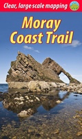 Wandelgids Moray Coast Trail | Rucksack Readers
The Mary Queen of Scots Way stretches across central Scotland from coast to coast, linking many places associated with Mary Queen of Scots. It runs for 107 miles (172 km) …
 Reisgids Best Road Trips Great Britain - Groot Brittannië | Lonely Planet
Discover the freedom of the open road with Lonely Planet's Great Britain's Best Road Trips. This trusted travel companion features 36 amazing drives, from 3-day escapes to 3-week adventures. Explore …
 Reisgids Wild Swimming Britain | Wild Things Publishing
This revised and expanded third edition of Wild Things' seminal guide to wild swimming in Britain is your passport to adventure. Leading you to more than 500 magical wild swimming …
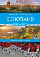 Reisgids Lannoo's Autoboek Schotland on the road | Lannoo
Laatste reviews

Op zich een goede kaart, maar het is eigenlijk gewoon een uitvergroting van de bekende 1:200.000-kaarten, dus weinig tot geen extra informatie. Wel wat duidelijker …
★★★★★ door FGM Ballhaus 13 mei 2026 | Heeft dit artikel gekocht
Duidelijke kaart, goed voor fietsen, iets minder voor wandelen door de schaal, maar er is heel weinig kaartmateriaal voor dit gebied dus daarom toch dik …
★★★★★ door FGM Ballhaus 13 mei 2026 | Heeft dit artikel gekocht
Fietskaart is een goede aanvulling op de Nederlandse fietskaarten, laat de Achterhoek zien maar ook een heel stuk Duitsland in (naar het oosten). Kwalitatief ook …
★★★★★ door FGM Ballhaus 13 mei 2026 | Heeft dit artikel gekocht
Keurig verpakt, snel verzonden. Boek voldoet aan mijn verwachtingen!
★★★★★ door Beatrice 12 mei 2026 | Heeft dit artikel gekocht