Wandelkaart Dingle Peninsula | Harvey Maps (9781851376704)
Including Dingle Way
- ISBN / CODE: 9781851376704
- Editie: 20-09-2023
- Aantal blz.: 1
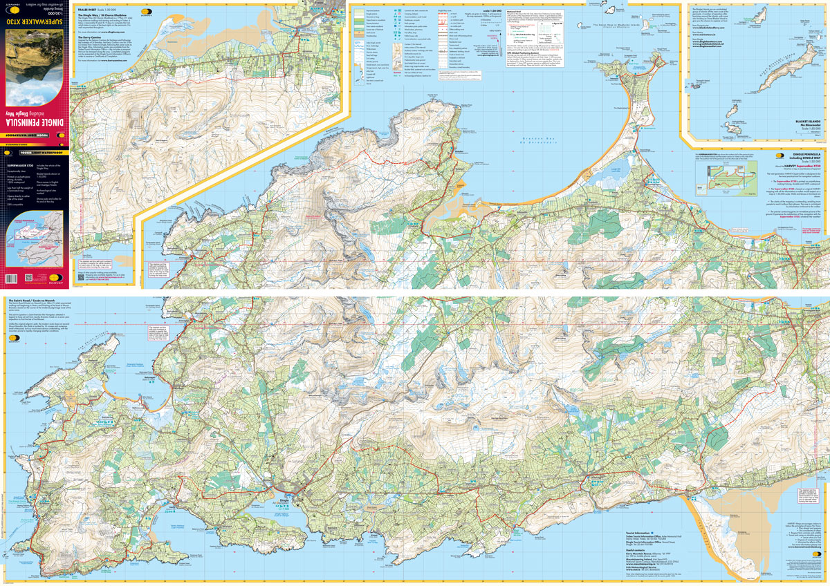
- Schaal: 1:30000
- Uitgever: Harvey Maps
- Soort: Wandelkaart
- Serie: Superwalker XT25 maps
- Taal: Engels
- Hoogte: 25.0 cm
- Breedte: 14.0 cm
- Gewicht: 73.0 g
- Bindwijze: -
- Uitvoering: Scheur- en watervast
- Schrijf als eerste een review
-
€ 26,95
Op voorraad. Voor 17.00 uur op werkdagen besteld, morgen in huis in Nederland Levertijd Belgie
Gratis verzending in Nederland vanaf €50,-

Beschrijving
Reviews
Geen reviews gevonden voor dit product.
Schrijf een review
Graag horen wij wat u van dit artikel vindt. Vindt u het goed, leuk, mooi, slecht, lelijk, onbruikbaar of erg handig: schrijf gerust alles op! Het is niet alleen leuk om te doen maar u informeert andere klanten er ook nog mee!
Ook interessant voor europa/ierland/dingle-way
-

Stadsplattegrond 1 Belfast Street Ma
€ 19,95Stadsplattegronden Belfast -

Wegenkaart - landkaart Ierland, Dubl
€ 14,95Wegenkaarten Belfast -

Topografische kaart - Wandelkaart 36
€ 19,50Topografische kaarten Killkenny - Waterford - Zuidoost Ierland -

Fietsgids Cols and Passes of the Bri
€ 18,50Fietsgidsen Wales -

Wandkaart 02022 Britain and Ireland
€ 25,95Wandkaarten van landen Engeland