Wandelkaart 32 Mount Kissavos | Road Editions (9789608189010)
OPRUIMING
- ISBN / CODE: 9789608189010
- Schaal: 1:50000
- Uitgever: Road Editions
- Soort: Wandelkaart
- Taal: Engels
- Schrijf als eerste een review
-
€ 5,25
Uitverkocht, nooit meer leverbaar
Beschrijving
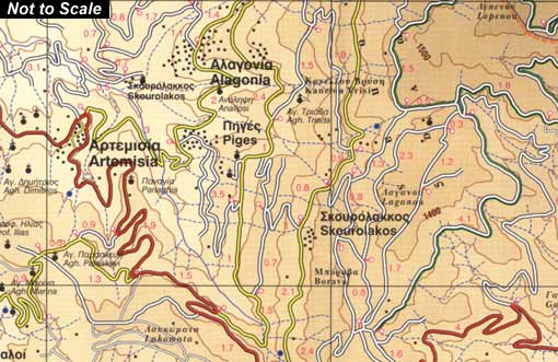
Kissavos at 1:50,000 in a series of contoured maps from Road Editions covering popular hiking areas of Greece. All the maps have altitude coloring and spot heights - contour interval varies, as indicated in the descriptions of individual titles. Local footpaths are marked and, for road users the maps show picturesque routes, intermediate driving distances on minor roads, and locations of petrol stations and tyre repairs workshops. Boundaries of national parks and administrative regions are marked, and symbols show campsites, hotels and mountain refuges, and various landmarks and places of interest, e.g. archaeological sites, churches, etc. All place names are in both Greek and Latin alphabet.
All the titles have latitude and longitude margin ticks, many also show GPS waypoints. Some maps come with a booklet or notes on the reverse side giving further information about the area and/or descriptions of hiking routes. Map legends include English.
In this title: coverage from Omolio in the north to Dimitra in the south and from the village Evangilismos in the west to the coast. A booklet, in Greek and English, includes an index and general information about the area.
Reviews
Geen reviews gevonden voor dit product.
Schrijf een review
Graag horen wij wat u van dit artikel vindt. Vindt u het goed, leuk, mooi, slecht, lelijk, onbruikbaar of erg handig: schrijf gerust alles op! Het is niet alleen leuk om te doen maar u informeert andere klanten er ook nog mee!
Ook interessant voor europa/griekenland/overige-streken-vasteland
-

Wegenkaart - landkaart 304 Kefalonia
€ 9,95Wegenkaarten ♦ Kefalonia -

Wegenkaart - landkaart 1 Cyclades -
€ 12,95Wegenkaarten Vasteland Griekenland -

Topografische kaart - Wegenkaart - l
€ 7,95Topografische kaarten Saronische Eilanden - Golf van Egina -

Wandelkaart 341 Symi | Terrain maps
€ 13,95Wandelkaarten Dodecanesos (zuid -oost) -

Campergids 01 Mit dem Wohnmobil nach
€ 24,95Campergidsen Griekenland