Winkelwagen
Geen items in winkelwagen
Ga naar winkelwagen
Kaarten - Vogezen - Elzas - Lotharingen
 Wandelkaart - Topografische kaart 3519OT Remiremont | IGN - Institut Géographique National★★★★★
 Wandelkaart - Topografische kaart 3520 SB - Serie Bleue Mélisey - Lure | IGN - Institut Géographique National
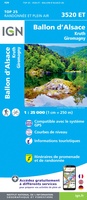 Wandelkaart - Topografische kaart 3520ET Ballon d'Alsace | IGN - Institut Géographique National★★★★★★★★★★
 Wandelkaart - Topografische kaart 3613 SB - Serie Bleue Forbach - Sarreguemines | IGN - Institut Géographique National
 Wandelkaart - Topografische kaart 3613ET Sarreguemines | IGN - Institut Géographique National
 Wandelkaart - Topografische kaart 3614ET Sarre-Union - Phalsbourg | IGN - Institut Géographique National
 Wandelkaart - Topografische kaart 3616OT Lac de Pierre-Percée - Le Donon | IGN - Institut Géographique National★★★★★
 Wandelkaart - Topografische kaart 3617OT St-Dié-des-Vosges | IGN - Institut Géographique National
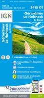 Wandelkaart - Topografische kaart 3618OT Le Hohneck - Gérardmer | IGN - Institut Géographique National★★★★★★★★★★
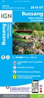 Wandelkaart - Topografische kaart 3619OT Bussang - La Bresse | IGN - Institut Géographique National★★★★★★★★★★
 Wandelkaart - Topografische kaart 3620ET Grand Ballon | IGN - Institut Géographique National★★★★★
 Wandelkaart - Topografische kaart 3621ET Dannemarie - Delle - Sundgau | IGN - Institut Géographique National
 Wandelkaart - Topografische kaart 3621OT Belfort - Montbeliard | IGN - Institut Géographique National
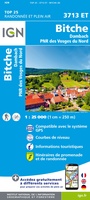 Wandelkaart - Topografische kaart 3713ET Pays de Bitche - Dambach - PNR des Vosges du Nord | IGN - Institut Géographique National
 Wandelkaart - Topografische kaart 3714ET la Petite Pierre - Petite Pierre, Niederbronn-les-Bains, PNR Vosges du Nord | IGN - Institut Géographique National
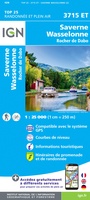 Wandelkaart - Topografische kaart 3715ET Wasselone - Rocher de Dabo - Saverne | IGN - Institut Géographique National
 Wandelkaart - Topografische kaart 3715OT Sarrebourg - Phalsbourg - Pays des Etangs | IGN - Institut Géographique National★★★★★
 Wandelkaart - Topografische kaart 3716ET le Donon, Obernai, Mont Ste-Odile | IGN - Institut Géographique National★★★★★
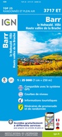 Wandelkaart - Topografische kaart 3717ET Barr - Le Howald - Villé - Vallée de la Bruche | IGN - Institut Géographique National★★★★★
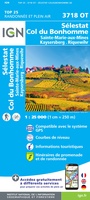 Wandelkaart - Topografische kaart 3718OT Selestat - Col Du Bonhomme | IGN - Institut Géographique National★★★★★
Laatste reviews

Interessante puzzel
De puzzel heeft niet de karakteristiek gevormde puzzelstukjes, maar computer gegenereerde stukjes. Dat makt het leggen van de puzzel een nieuwe en interessante ervaring. Het …
★★★★★ door Wim Scheenen 15 december 2025 | Heeft dit artikel gekocht
Dit is een succesnummer.
Het was een beetje een gok, maar mijn 4 jarige kleinzoon is een puzzel fanaat. Het verbaasde mij hoe zelfstandig hij de puzzel kan maken. …
★★★★★ door Gerard Lijnzaad 15 december 2025 | Heeft dit artikel gekocht
Prima levering
Prima levering. Prima kaart.
★★★★★ door Felix 11 december 2025 | Heeft dit artikel gekocht
Grote kaart die scheurvast is
Goed afleesbaar, waterbestendig, zal niet gauw scheuren. We hadden hem ook snel in huis.
★★★★★ door Margo 11 december 2025 | Heeft dit artikel gekocht