Winkelwagen
Geen items in winkelwagen
Ga naar winkelwagen
Kaarten - Aude
 Wandelkaart - Topografische kaart 2244 SB - Serie Bleue Revel, St-Félix-Lauragais, Sorèze | IGN - Institut Géographique National
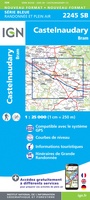 Wandelkaart - Topografische kaart 2245 SB - Serie Bleue Bram - Castelnaudary | IGN - Institut Géographique National
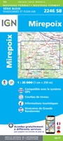 Wandelkaart - Topografische kaart 2246 SB - Serie Bleue Mirepoix | IGN - Institut Géographique National
 Wandelkaart - Topografische kaart 2247OT Lavelanet, Chalabre, Montségur, Laroque-d'Olmes | IGN - Institut Géographique National
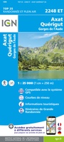 Wandelkaart - Topografische kaart 2248ET Axat, Querigut | IGN - Institut Géographique National★★★★★
 Wandelkaart - Topografische kaart 2345 SB - Serie Bleue Carcassonne - Alzonne | IGN - Institut Géographique National
 Wandelkaart - Topografische kaart 2346 SB - Serie Bleue Cazilhac - Limoux | IGN - Institut Géographique National
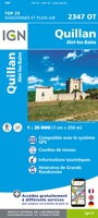 Wandelkaart - Topografische kaart 2347OT Quillan, Alet-les-Bains, Couiza, Rennes-les-Bains, Esperaza | IGN - Institut Géographique National
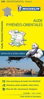 Wegenkaart - landkaart 344 Aude - Pyrenees Orientales | Michelin★★★★★
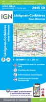 Wandelkaart - Topografische kaart 2445 SB - Serie Bleue Lézignan - Corbieres, Rieux-Minervois | IGN - Institut Géographique National
 Wandelkaart - Topografische kaart 2446 SB - Serie Bleue Ferrals-les-Corbières, Capendu | IGN - Institut Géographique National
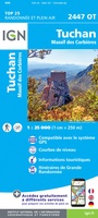 Wandelkaart - Topografische kaart 2447OT Tuchan | IGN - Institut Géographique National
 Wandelkaart - Topografische kaart 2448OT Thuir, Ille-sur-Tet, Latour-de-France, Estagel, Millas | IGN - Institut Géographique National
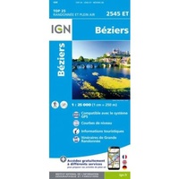 Wandelkaart 2545ET Béziers | IGN - Institut Géographique National★★★★★
 Wandelkaart - Topografische kaart 2545OT St-Chinian - L'etang de Montady | IGN - Institut Géographique National
 Wandelkaart - Topografische kaart 2546OT Narbonne | IGN - Institut Géographique National
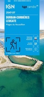 Wandelkaart 2547OT Durban-Corbières / Leucate Plages du Roussillon | IGN - Institut Géographique National
 Wandelkaart - Topografische kaart 2549OT Banyuls-sur-Mer | IGN - Institut Géographique National
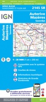 Wandelkaart - Topografische kaart 2145 SB - Serie Bleue Auterive - Mazères - Saverdun | IGN - Institut Géographique National
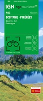 Wegenkaart - landkaart 12 TOP 250 Occitanie - Pyrénées - Quercy | IGN - Institut Géographique National
Laatste reviews

Mooie gedetailleerde kaart
We hebben de kaart nog niet mee op pad genomen maar al wel gebruikt voor de voorbereiding van onze vakantie. De kaart geeft voldoende detail …
★★★★★ door Pieter 02 maart 2026 | Heeft dit artikel gekocht
Fijne stadsplattegrond met duidelijke details
Voor iedere citytrip gebruik ik de stadsplattegronden van Borch. Het is een duidelijke kaart, op goede schaal en fijn dat de kaart geplastificeerd is.
★★★★★ door Mirte 27 februari 2026 | Heeft dit artikel gekocht
Fantastische puzzel
Prachtige puzzel met leuke extra’s, een standaard om de deksel in te zetten. Leuke weetjes over de wijnen aan de binnenkant van de deksel en …
★★★★★ door Angelique de Jonge 26 februari 2026 | Heeft dit artikel gekocht
perfect geleverd en ongeschonden aangekregen
perfect geleverd en ongeschonden aangekregen
★★★★★ door Steven Vansteenkiste 26 februari 2026 | Heeft dit artikel gekocht