Winkelwagen
Geen items in winkelwagen
Ga naar winkelwagen
Dordogne - Limousin
 Wandelkaart - Topografische kaart 2029 SB - Serie Bleue Bessines-sur-Gartempe | IGN - Institut Géographique National
 Wandelkaart - Topografische kaart 2030 SB - Serie Bleue Ambazac | IGN - Institut Géographique National
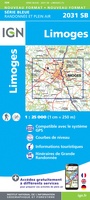 Wandelkaart - Topografische kaart 2031 SB - Serie Bleue Limoges | IGN - Institut Géographique National
 Wandelkaart - Topografische kaart 2032 SB - Serie Bleue Nexon | IGN - Institut Géographique National
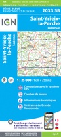 Wandelkaart - Topografische kaart 2033 SB - Serie Bleue Saint-Yrieix-La Perche-Lubersac | IGN - Institut Géographique National
 Wandelkaart - Topografische kaart 2034 SB - Serie Bleue Objat - Hautefort | IGN - Institut Géographique National★★★★★
 Wandelkaart - Topografische kaart 2035 SB - Serie Bleue Terrasson-Lavilledieu, Montignac, Grotte de Lascaux | IGN - Institut Géographique National★★★★★
 Wandelkaart - Topografische kaart 2036ET Sarlat-la-Caneda, Souillac | IGN - Institut Géographique National★★★★★
 Wandelkaart - Topografische kaart 2037OT Roque-Gageac, Domme | IGN - Institut Géographique National★★★★★
 Wandelkaart - Topografische kaart 2038 SB - Serie Bleue Puy l'Evêque, Luzech | IGN - Institut Géographique National
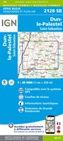 Wandelkaart - Topografische kaart 2128 SB - Serie Bleue Dun-le-Palestel | IGN - Institut Géographique National★★★★★
 Wandelkaart - Topografische kaart 2129 SB - Serie Bleue La Souterraine | IGN - Institut Géographique National
 Wandelkaart - Topografische kaart 2131 SB - Serie Bleue St-Léonard-de-Noblat, Eymoutiers | IGN - Institut Géographique National
 Wandelkaart - Topografische kaart 2132 SB - Serie Bleue Châteauneuf-la-Forêt, Chamberet | IGN - Institut Géographique National
 Wandelkaart - Topografische kaart 2133 SB - Serie Bleue Uzerche, Treignac, Seilhac | IGN - Institut Géographique National
 Wandelkaart - Topografische kaart 2134 SB - Serie Bleue Tulle | IGN - Institut Géographique National
 Wandelkaart - Topografische kaart 2135 SB - Serie Bleue Beynat, Meyssac, Collonges-la-Rouge, Brive-la-Gaillarde | IGN - Institut Géographique National
 Wandelkaart - Topografische kaart 2137 SB - Serie Bleue Gramat | IGN - Institut Géographique National
 Wandelkaart - Topografische kaart 2138OT Cahors | IGN - Institut Géographique National★★★★★
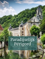 Reisgids PassePartout Paradijslijk Perigord - Dordogne | Edicola★★★★★
Laatste reviews

alleen de grote routes
prima kaart voor overzicht van een gebied maar alleen de grote routes, bijvoorbeeld naar hutten, staan er op, om zelf wandelingen te plannen minder geschikt
★★★★★ door Jasper 31 juli 2026 | Heeft dit artikel gekocht
Perfect.
Snelle levering.
★★★★★ door Anton Deutekom 31 juli 2026 | Heeft dit artikel gekocht
prima kaart en snelle service van De Zwerver
handig
★★★★★ door Barbara 31 juli 2026 | Heeft dit artikel gekocht
heel tevreden
prima kaartenaanbod
★★★★★ door yvon werniers 30 juli 2026 | Heeft dit artikel gekocht