Winkelwagen
Geen items in winkelwagen
Ga naar winkelwagen
Puy-de-Dôme
 Wegenkaart - landkaart 326 Allier - Puy de Dome (Auvergne) | Michelin★★★★★★★★★★
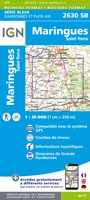 Wandelkaart - Topografische kaart 2630 SB - Serie Bleue Maringues | IGN - Institut Géographique National
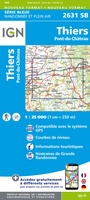 Wandelkaart - Topografische kaart 2631 SB - Serie Bleue Thiers | IGN - Institut Géographique National
 Wandelkaart - Topografische kaart 2632 SB - Serie Bleue Issoire | IGN - Institut Géographique National
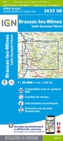 Wandelkaart - Topografische kaart 2633 SB - Serie Bleue St-Germain-l'Herm, Brassac-les-Mines | IGN - Institut Géographique National
 Wandelkaart 2730 SB - Serie Bleue Le Mayet-de-Montagne / St-just-en-Chevalet | IGN - Institut Géographique National
 Wandelkaart - Topografische kaart 2732 SB - Serie Bleue Ambert | IGN - Institut Géographique National
 Wandelkaart - Topografische kaart 2733 SB - Serie Bleue St-Anthème, Arlanc | IGN - Institut Géographique National
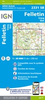 Wandelkaart - Topografische kaart 2331 SB - Serie Bleue Felletin | IGN - Institut Géographique National
 Wandelkaart - Topografische kaart 2429 SB - Serie Bleue Saint-Éloy-les-Mines | IGN - Institut Géographique National
 Wandelkaart - Topografische kaart 2430 SB - Serie Bleue Saint-Gervais d'Auvergne | IGN - Institut Géographique National
 Wandelkaart - Topografische kaart 2431 SB - Serie Bleue Pontaumur | IGN - Institut Géographique National
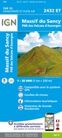 Wandelkaart - Topografische kaart 2432ET Massif du Sancy | IGN - Institut Géographique National★★★★★
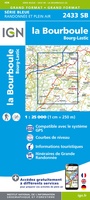 Topografische kaart - Wandelkaart 2433 SB - Serie Bleue la Bourboule | IGN - Institut Géographique National
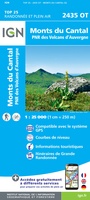 Wandelkaart - Topografische kaart 2435OT Monts du Cantal | IGN - Institut Géographique National★★★★★
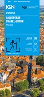 Wandelkaart 2530 SB - Serie Bleue Aigueperse / Châtel-Guyon / Manzat | IGN - Institut Géographique National
 Wandelkaart - Topografische kaart 2531 SB - Serie Bleue Clermont-Ferrand | IGN - Institut Géographique National
 Wandelkaart - Topografische kaart 2531ET Chaîne des Puys | IGN - Institut Géographique National
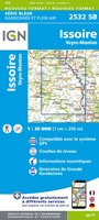 Wandelkaart - Topografische kaart 2532 SB - Serie Bleue Veyre-Monton, Issoire | IGN - Institut Géographique National
 Wandelkaart - Topografische kaart 2534 SB - Serie Bleue Massiac - Ardes | IGN - Institut Géographique National
Laatste reviews

Top gids met alle benodigde informatie.
Prachtige wandelgids voorzien van alle voor de wandelaars benodigde informatie (accommodaties, restaurants en cafés, vervoersmogelijkheden enz.). Ook is de gids beschreven in twee richtingen en …
★★★★★ door Mathie Hoenjet 27 juni 2026 | Heeft dit artikel gekocht
snel bezorgd
Zoals altijd duidelijke en overzichtelijke kaart van Michelin
★★★★★ door Charles Trippelvitz 26 juni 2026 | Heeft dit artikel gekocht
Het was heel leuk om de Vennbahn te fietsen aan de hand van deze handige gids!
Door deze gids konden we ons heel goed voorbereiden op onze fietstocht. En het gebruik onderweg was ook prima. Jammer dat de campings onderweg wat …
★★★★★ door Helma Feenstra 26 juni 2026 | Heeft dit artikel gekocht
Simpele keuze ondersteuning op website en hele snelle levering
Kort voor vakantie naar de Galapagos eilanden toch nog behoefte aan extra reisgids. Simpel kunnen bestellen en snelle levering. Zou niet weten wat er beter …
★★★★★ door Piet Grootenboer 25 juni 2026 | Heeft dit artikel gekocht