Winkelwagen
Geen items in winkelwagen
Ga naar winkelwagen
Auvergne
 Wandelkaart - Topografische kaart 2337 SB - Serie Bleue Maurs | IGN - Institut Géographique National
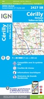 Topografische kaart - Wandelkaart 2427 SB - Serie Bleue Cérilly | IGN - Institut Géographique National
 Wandelkaart - Topografische kaart 2428 SB - Serie Bleue Montluçon | IGN - Institut Géographique National
 Wandelkaart - Topografische kaart 2429 SB - Serie Bleue Saint-Éloy-les-Mines | IGN - Institut Géographique National
 Wandelkaart - Topografische kaart 2430 SB - Serie Bleue Saint-Gervais d'Auvergne | IGN - Institut Géographique National
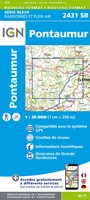 Wandelkaart - Topografische kaart 2431 SB - Serie Bleue Pontaumur | IGN - Institut Géographique National
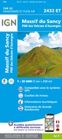 Wandelkaart - Topografische kaart 2432ET Massif du Sancy | IGN - Institut Géographique National★★★★★
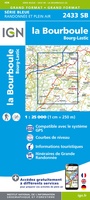 Topografische kaart - Wandelkaart 2433 SB - Serie Bleue la Bourboule | IGN - Institut Géographique National
 Wandelkaart - Topografische kaart 2434OT Riom es Montagnes, Bort-les-Orgues, PNR des Volcans d'Auvergne | IGN - Institut Géographique National
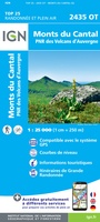 Wandelkaart - Topografische kaart 2435OT Monts du Cantal | IGN - Institut Géographique National★★★★★
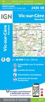 Wandelkaart - Topografische kaart 2436 SB - Serie Bleue Pierrefort, Barrage de Sarrans, Vic-sur-Cère | IGN - Institut Géographique National★★★★★
 Wandelkaart - Topografische kaart 2437 SB - Serie Bleue Laguiole, Entraygues-sur-Truyere | IGN - Institut Géographique National★★★★★
 Wandelkaart - Topografische kaart 2528 SB - Serie Bleue Tronget - Montmarault | IGN - Institut Géographique National
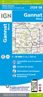 Wandelkaart - Topografische kaart 2529 SB - Serie Bleue Gannat | IGN - Institut Géographique National
 Wandelkaart - Topografische kaart 2531 SB - Serie Bleue Clermont-Ferrand | IGN - Institut Géographique National
 Wandelkaart - Topografische kaart 2531ET Chaîne des Puys | IGN - Institut Géographique National
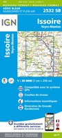 Wandelkaart - Topografische kaart 2532 SB - Serie Bleue Veyre-Monton, Issoire | IGN - Institut Géographique National
 Wandelkaart - Topografische kaart 2534 SB - Serie Bleue Massiac - Ardes | IGN - Institut Géographique National
 Wandelkaart - Topografische kaart 2535 SB - Serie Bleue St-Flour, Murat | IGN - Institut Géographique National
 Wandelkaart - Topografische kaart 2536 SB - Serie Bleue Chaudes-Aigues, Gorges de la Truyère, Faverolles | IGN - Institut Géographique National
Laatste reviews

Leuk informatief boek, precieze route goed weergegeven.
Keurig verpakt, snel verzonden. Boek voldoet aan mijn verwachtingen!
★★★★★ door Beatrice 12 mei 2026 | Heeft dit artikel gekocht
Top service en snelle verzending
Zoals altijd een goede ervaring en een perfecte snelle levering
★★★★★ door Perry Miog 12 mei 2026 | Heeft dit artikel gekocht
Mooie fietskaarten snelle verzending
Altijd weer fijn om te vinden wat ik zoek. Ruim aanbod van fietskaarten.
★★★★★ door Trudy 11 mei 2026 | Heeft dit artikel gekocht
Prachtige wandelingen, duidelijk beschreven
Handig formaat wandelgidsje met schitterende wandelingen in noord Portugal. De duidelijke beschrijvingen zijn handig zowel voor het plannen van de wandeling, bij het vinden van …
★★★★★ door Annemieke 11 mei 2026 | Heeft dit artikel gekocht