Wandelkaart Pennine Way Map Booklet | Cicerone (9781786311412)
- ISBN / CODE: 9781786311412
- Editie: 02-05-2025
- Druk: 2
- Aantal blz.: 136
- Schaal: 1:25000
- Uitgever: Cicerone
- Soort: Wandelkaart
- Taal: Engels
- Hoogte: 17.0 cm
- Breedte: 12.0 cm
- Gewicht: 153.0 g
- Uitvoering: -
- Bindwijze: Paperback
- Schrijf als eerste een review
-
€ 19,95
Op voorraad. Voor 17.00 uur op werkdagen besteld, morgen in huis in Nederland Levertijd Belgie
Gratis verzending in Nederland vanaf €35,-

Beschrijving
Van de uitgever
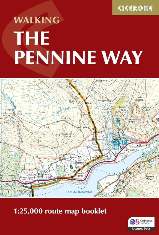
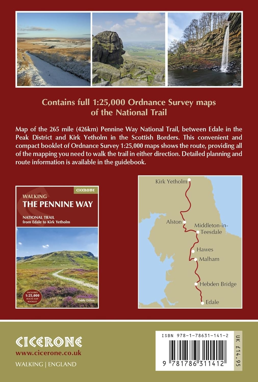
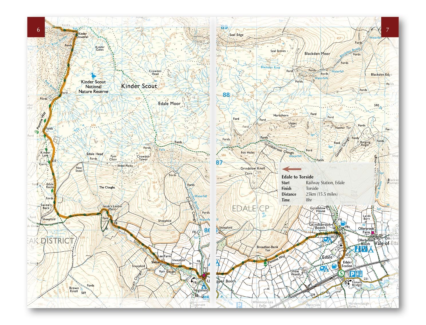
Map of the 270 miles (435km) Pennine Way National Trail, between Edale in the Peak District and Kirk Yetholm in the Scottish Borders. This booklet is included with the Cicerone guidebook to the trail, and shows the full route on OS 1:25,000 maps. This popular long-distance route typically takes three weeks to complete.Seasons:
This National Trail is essentially a summer walk, though it can be completed in spring or autumn, the winter months are solely for dedicated and experienced long-distance walkers.
Centres:
Edale, Crowden, Hebden Bridge, Cowling, Gargrave, Malham, Horton in Ribblesdale, Hawes, Keld, Bowes, Middleton-in-Teesdale, Dufton, Alston, Hadrian's Wall, Bellingham, Byrness, Kirk Yetholm.
Difficulty:
The Pennine Way is a challenging walk, often across high, exposed moorlands. No problems on fine, sunny days, but some parts can be exceptionally difficult in bad weather. In mist, careful navigation is required, but on the whole the route is well-signposted. Suitable for backpackers and youth hostellers, but ample B&B accommodation is also available. Previous long-distance walking experience is an advantage.
Must See:
Peak District National Park - Kinder Scout, Bleaklow and Black Hill; South Pennines - Stoodley Pike and Brontë Country; Yorkshire Dales National Park - Malham Cove, Pen-y-Ghent and Great Shunner Fell; North Pennines AONB - Teesdale, High Cup and Cross Fell; Northumberland National Park - Hadrian's Wall and the Cheviot Hills.
Reviews
Geen reviews gevonden voor dit product.
Schrijf een review
Graag horen wij wat u van dit artikel vindt. Vindt u het goed, leuk, mooi, slecht, lelijk, onbruikbaar of erg handig: schrijf gerust alles op! Het is niet alleen leuk om te doen maar u informeert andere klanten er ook nog mee!
Ook interessant voor europa/engeland/north-pennines-aonb
-

Fietskaart Cycle Map Pennine Cyclewa
€ 13,50Fietskaarten ♦ North Pennines AONB -

Wandelkaart - Topografische kaart 09
€ 19,50Topografische kaarten ♦ Yorkshire Dales Nationaal Park -

Wandelkaart - Topografische kaart OL
€ 19,50Topografische kaarten North East England -

Wandelgids Pennine Way | Trailblazer
€ 23,50Wandelgidsen North East England -

Reisverhaal Dwars door Engeland | Ma
€ 18,95Reisverhalen North West England