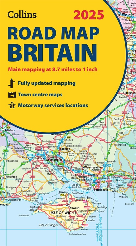
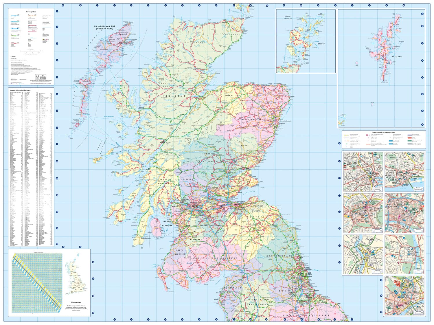
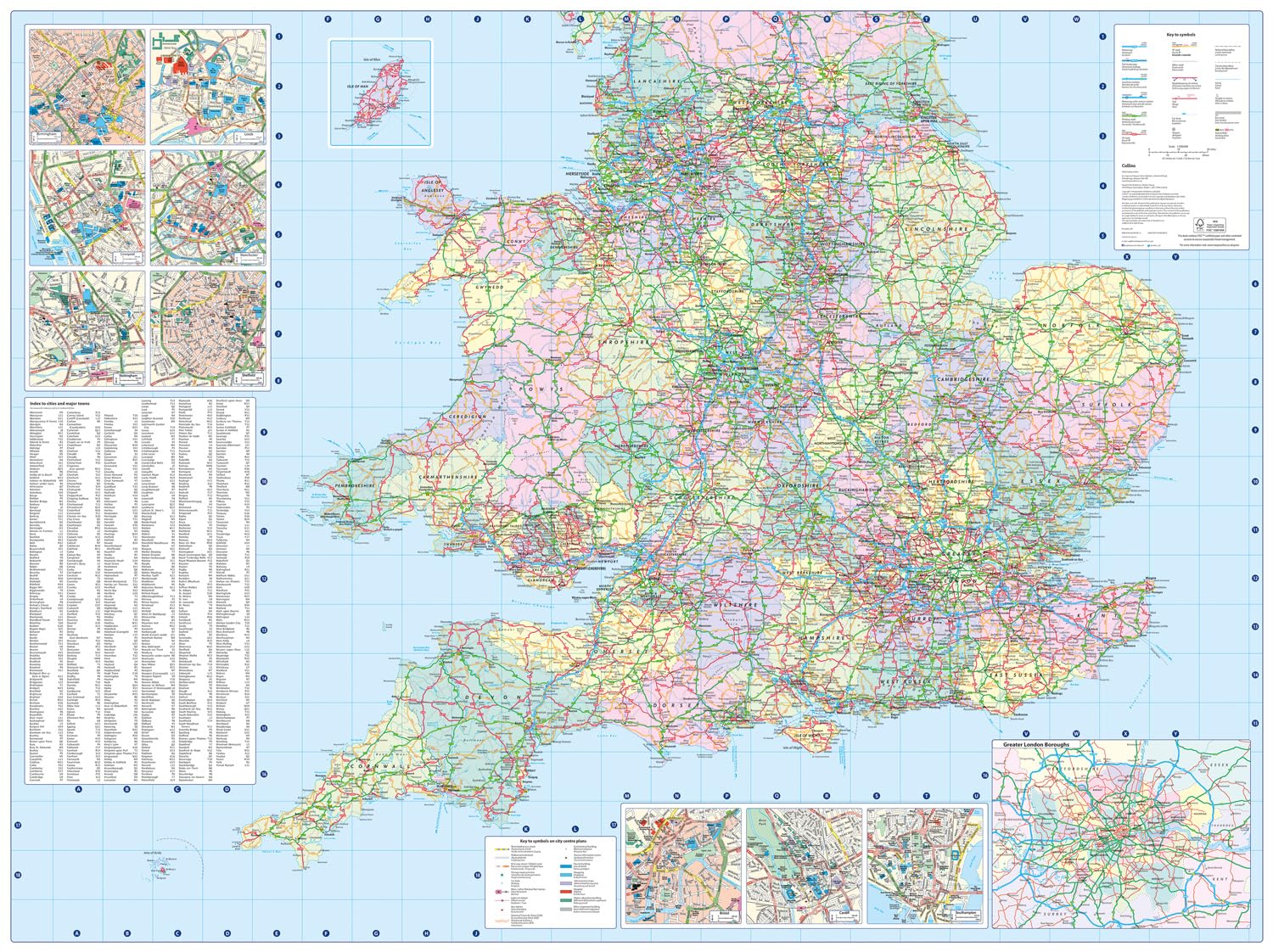
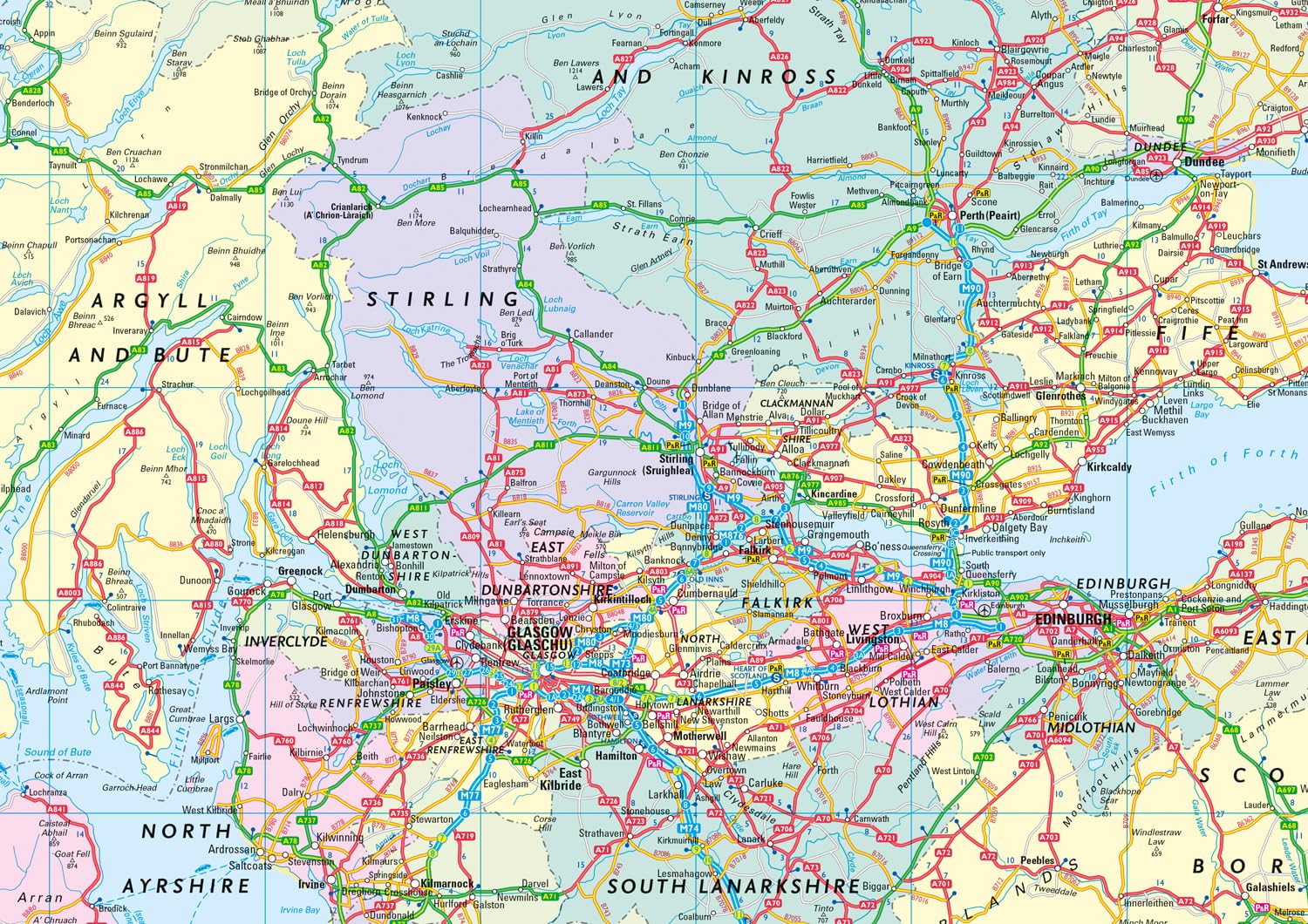
Wegenkaart - landkaart Road Map of Britain 2025 | Collins (9780008652913)
- ISBN / CODE: 9780008652913
- Editie: 2024
- Schaal: 1:550000
- Uitgever: Collins
- Soort: Wegenkaart
- Taal: Engels
- Hoogte: 24.0 cm
- Breedte: 13.0 cm
- Dikte: 1.0 cm
- Gewicht: 128.0 g
- Bindwijze: -
- Uitvoering: Papier
- Schrijf als eerste een review
-
€ 11,50
Op voorraad. Voor 17.00 uur op werkdagen besteld, morgen in huis in Nederland Levertijd Belgie
Gratis verzending in Nederland vanaf €35,-
Beschrijving
Reviews
Geen reviews gevonden voor dit product.
Schrijf een review
Graag horen wij wat u van dit artikel vindt. Vindt u het goed, leuk, mooi, slecht, lelijk, onbruikbaar of erg handig: schrijf gerust alles op! Het is niet alleen leuk om te doen maar u informeert andere klanten er ook nog mee!
Ook interessant voor europa/engeland/wales
-

Campinggids - Campergids Cool Campin
€ 23,95Campergidsen Wales -

Wandelkaart - Topografische kaart OL
€ 19,50Topografische kaarten Wales -

Wegenatlas Britain for Bikers | Voor
€ 20,95Wegenatlassen Wales -

Wandelgids Best Day Walks Great Brit
€ 22,50Wandelgidsen Wales -

Reisgids Microadventures | Collins
€ 23,95Reisgidsen Wales