Winkelwagen
Geen items in winkelwagen
Ga naar winkelwagen
Kaarten - Engeland
 Wegenatlas Philip's Handy Atlas Britain: | Ringband | A5-Formaat | Philip's Maps
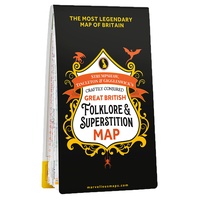 Wegenkaart - landkaart Great British Folklore & superstition map | Ordnance Survey
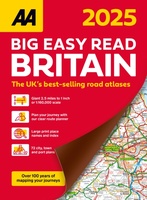 Wegenatlas Big Easy Read Britain 2026 | A3 | Ringband | AA Publishing
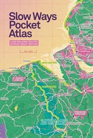 Wandelatlas Slow Ways Pocket Atlas | Urban Good
 Wegenkaart - landkaart Groot - Brittannië | Borch★★★★★
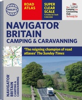 Wegenatlas Navigator Camping and Caravanning – Atlas of Britain | Philip's Maps★★★★★
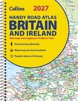 Wegenatlas Britain & Ireland road atlas | Ringband | A5 Formaat | Collins
 Wegenkaart - landkaart Grossbritannien, Irland - Groot Britannie, Ierland | Hallwag
 Wegenatlas Great British Road Trip Atlas : Easy to Read Edition | Philip's Maps
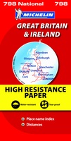 Wegenkaart - landkaart 798 Great Britain & Ireland | Michelin
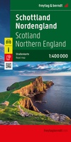 Wegenkaart - landkaart Schottland - Nordengland - Schotland + Engeland Noord | Freytag & Berndt
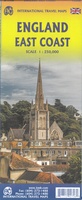 Wegenkaart - landkaart Engeland East Coast - Engeland Oostkust | ITMB
 Wegenatlas Philip's Easy to Read Road Atlas of Britain 2025 | A4-Formaat | Ringband | Philip's Maps
 Spoorwegenkaart Europe Western Railroad & Road | ITMB★★★★★
 Wegenatlas AA Glovebox Atlas Britain | AA Publishing★★★★★
 Wegenkaart - landkaart Great Britain & Ireland - Groot Brittannië & Ierland | Marco Polo
 Wegenkaart - landkaart Wales & south of England - Zuid Engeland | ITMB★★★★★
 Wegenatlas Philip's Easy to Read Road Atlas of Britain 2025 | A3-Formaat | Paperback | Philip's Maps
 Wegenkaart - landkaart Groot-Brittannië | ITMB
 Wegenatlas Big Atlas Britain & Ireland 2025 | A3-Formaat | Ringband | Philip's Maps★★★★★
Laatste reviews

Prima kaart en snelle service
Eigenlijk zou een nog meer gedetailleerde kaart fijner zijn. Maar voor een autotrip best voldoende. Hopelijk komt er ooit een wandelkaart voor alleen de Hudson …
★★★★★ door Fred de Haas 08 mei 2026 | Heeft dit artikel gekocht
Informatief boekje
Fijn zou ook zijn in het Nederlands
★★★★★ door Marian Rooijackers de Raat 08 mei 2026 | Heeft dit artikel gekocht
Snelle en correcte bezorging
Over De Zerver kan ik niks negatiefs zeggen; ze zijn goed bereikbaar en hebben gedaan wat ze beweerden te gaan doen. De kaart is wat …
★★★★★ door Jürgen 08 mei 2026 | Heeft dit artikel gekocht
Snelle en correcte levering
Over De Zerver kan ik niks negatiefs zeggen; ze zijn goed bereikbaar en hebben gedaan wat ze beweerden te gaan doen. De kaart is wat …
★★★★★ door Jürgen 08 mei 2026 | Heeft dit artikel gekocht