Winkelwagen
Geen items in winkelwagen
Ga naar winkelwagen
Topografische kaarten - Europa
 Wandelkaart - Topografische kaart 1711OT Honfleur Deauville | IGN - Institut Géographique National★★★★★
 Wandelkaart - Topografische kaart 1713 SB - Serie Bleue Livarot - Beuvillers | IGN - Institut Géographique National★★★★★
 Wandelkaart - Topografische kaart 1714 SB - Serie Bleue Vimoutiers - Trun | IGN - Institut Géographique National
 Wandelkaart - Topografische kaart 1715 SB - Serie Bleue Sées - Gace | IGN - Institut Géographique National
 Wandelkaart - Topografische kaart 1716 SB - Serie Bleue Alençon - Sées | IGN - Institut Géographique National
 Wandelkaart - Topografische kaart 1717 SB - Serie Bleue Alençon - Marolles-les-Braults | IGN - Institut Géographique National
 Wandelkaart - Topografische kaart 1718 SB - Serie Bleue Beaumont-sur-Sarthe - Ballon | IGN - Institut Géographique National
 Wandelkaart - Topografische kaart 1719 SB - Serie Bleue Le Mans - La Suze-sur-Sarthe | IGN - Institut Géographique National
 Wandelkaart - Topografische kaart 172 OS Explorer Map Chiltern Hills East | Ordnance Survey★★★★★
 Wandelkaart - Topografische kaart 172 Landranger Bristol & Bath, Thornbury & Chew Magna | Ordnance Survey
 Wandelkaart - Topografische kaart 1720 SB - Serie Bleue Ecommoy – Cérans-Foulletourte | IGN - Institut Géographique National
 Topografische kaart - Wandelkaart 1721 SB - Serie Bleue le Lude | IGN - Institut Géographique National
 Wandelkaart - Topografische kaart 1723ET Chinon | IGN - Institut Géographique National
 Wandelkaart - Topografische kaart 1724 SB - Serie Bleue Loudun – Richelieu | IGN - Institut Géographique National★★★★★
 Wandelkaart - Topografische kaart 1725 SB - Serie Bleue Lencloitre, St-Jean-de-Sauves | IGN - Institut Géographique National
 Wandelkaart - Topografische kaart 1728 SB - Serie Bleue Vivonne - Lusignan | IGN - Institut Géographique National
 Wandelkaart - Topografische kaart 1729 SB - Serie Bleue Civray - Sauze - Vaussais | IGN - Institut Géographique National
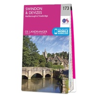 Wandelkaart - Topografische kaart 173 Landranger Swindon & Devizes, Marlborough & Trowbridge | Ordnance Survey
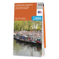 Wandelkaart - Topografische kaart 173 OS Explorer Map London North | Ordnance Survey
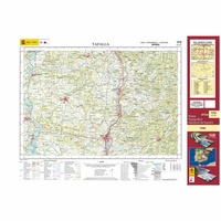 Topografische kaart 173 MT50 Tafalla | CNIG - Instituto Geográfico Nacional1
Laatste reviews

Goede, overzichtelijke kaart van Apeldoorn en directe omgeving..
Snelle levering van deze gedetaileerde kaart van Apeldoorn.
★★★★★ door Frans Alderse Baas 22 april 2026 | Heeft dit artikel gekocht
Precies het juiste gebied
Kaart gekocht voor de wandeling die ik in de zomer ga maken. Kon niet helemaal zien of de kaart dekkend was. Maar dat is 't …
★★★★★ door Harry 22 april 2026 | Heeft dit artikel gekocht
Prima
Wanneer je in de logistiek zit is zo'n bureaulegger erg handig.
★★★★★ door Frank Rosier 22 april 2026 | Heeft dit artikel gekocht
Stevige kaart, maar voldoet niet wat mij betreft
De kaart maakt geen onderscheid tussen hoofd- en andere wegen. Ook de wegen nummers en afslag nummers ontbreken. Over het algemeen in het Grieks beschreven. …
★★★★★ door sjaak den dubbelden 22 april 2026 | Heeft dit artikel gekocht