Winkelwagen
Geen items in winkelwagen
Ga naar winkelwagen
Topografische kaarten - Europa
 Wandelkaart - Topografische kaart 172 OS Explorer Map Chiltern Hills East | Ordnance Survey★★★★★
 Wandelkaart - Topografische kaart 1720 SB - Serie Bleue Ecommoy – Cérans-Foulletourte | IGN - Institut Géographique National
 Topografische kaart - Wandelkaart 1721 SB - Serie Bleue le Lude | IGN - Institut Géographique National
 Wandelkaart - Topografische kaart 1723ET Chinon | IGN - Institut Géographique National
 Wandelkaart - Topografische kaart 1724 SB - Serie Bleue Loudun – Richelieu | IGN - Institut Géographique National★★★★★
 Wandelkaart - Topografische kaart 1725 SB - Serie Bleue Lencloitre, St-Jean-de-Sauves | IGN - Institut Géographique National
 Wandelkaart - Topografische kaart 1728 SB - Serie Bleue Vivonne - Lusignan | IGN - Institut Géographique National
 Wandelkaart - Topografische kaart 1729 SB - Serie Bleue Civray - Sauze - Vaussais | IGN - Institut Géographique National
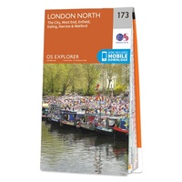 Wandelkaart - Topografische kaart 173 OS Explorer Map London North | Ordnance Survey
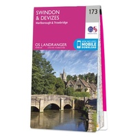 Wandelkaart - Topografische kaart 173 Landranger Swindon & Devizes, Marlborough & Trowbridge | Ordnance Survey
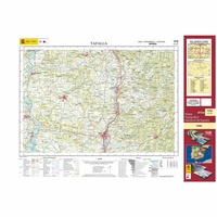 Topografische kaart 173 MT50 Tafalla | CNIG - Instituto Geográfico Nacional1
 Wandelkaart - Topografische kaart 1730 SB - Serie Bleue Ruffec - Villefagnan | IGN - Institut Géographique National
 Wandelkaart - Topografische kaart 1731 SB - Serie Bleue Mansle | IGN - Institut Géographique National
 Wandelkaart - Topografische kaart 1732 SB - Serie Bleue Angoulême, Ruelle-sur-Touvre | IGN - Institut Géographique National
 Wandelkaart - Topografische kaart 1733 SB - Serie Bleue Montmoreau-Saint-Cybard | IGN - Institut Géographique National
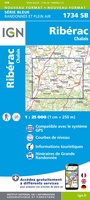 Wandelkaart - Topografische kaart 1734 SB - Serie Bleue Ribérac - Chalais | IGN - Institut Géographique National
 Wandelkaart - Topografische kaart 1735 SB - Serie Bleue Montpon-Ménestérol ,Saint-Médard-de-Mussidan | IGN - Institut Géographique National
 Wandelkaart - Topografische kaart 1736 SB - Serie Bleue Ste-Foy-la-Grande, Vélines | IGN - Institut Géographique National
 Wandelkaart - Topografische kaart 1737 SB - Serie Bleue Monségur | IGN - Institut Géographique National★★★★★
 Wandelkaart - Topografische kaart 1738 SB - Serie Bleue Marmande - Seyches | IGN - Institut Géographique National
Laatste reviews

De beste kaart
We kochten deze kaart omdat we naar een gedeelte van Kreta gingen waar we 12 jaar niet waren geweest. De kaart gaf ons actuele info …
★★★★★ door Jan Hendriks 01 juni 2026 | Heeft dit artikel gekocht
Schot in de roos!
Zeer tevreden!
★★★★★ door Godert Mollerus 01 juni 2026 | Heeft dit artikel gekocht
Hoogtepunten van Rügen in een oogopslag
Gidsje werkt voor mij goed als aanvulling op gedetailleerde reisgids Rügen, Hiddensee und Strallsund van Michael Müller Verlag. Wel een beetje populair/melig taalgebruik.
★★★★★ door Jacques 31 mei 2026 | Heeft dit artikel gekocht
Beste reisgids voor Rügen
Gedetailleerd, overzichtelijk en handzaam formaat.
★★★★★ door Jacques 31 mei 2026 | Heeft dit artikel gekocht