Winkelwagen
Geen items in winkelwagen
Ga naar winkelwagen
Topografische kaarten - Europa
 Wandelkaart - Topografische kaart 17/7-8 Topo25 Leopoldsburg - Peer - Hechtel - Eksel - Heppen | NGI - Nationaal Geografisch Instituut
 Topografische kaart 170 MT50 Haro | CNIG - Instituto Geográfico Nacional1
 Wandelkaart - Topografische kaart 170 Landranger Vale of Glamorgan, Rhondda & Porthcawl Wales | Ordnance Survey
 Wandelkaart - Topografische kaart 170 OS Explorer Map Abingdon, Wantage & Vale of White Horse | Ordnance Survey
 Topografische kaart 170-I Labastida / Bastida | CNIG - Instituto Geográfico Nacional
 Topografische kaart 170-II Lagran | CNIG - Instituto Geográfico Nacional
 Topografische kaart 170-III Haro | CNIG - Instituto Geográfico Nacional
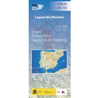 Topografische kaart 170-IV Laguardia / Biasteri | CNIG - Instituto Geográfico Nacional
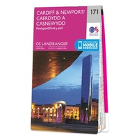 Wandelkaart - Topografische kaart 171 Landranger Cardiff & Newport, Pontypool Wales | Ordnance Survey
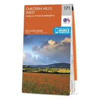 Wandelkaart - Topografische kaart 171 OS Explorer Map Chiltern Hills West | Ordnance Survey
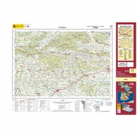 Topografische kaart 171 MT50 Viana | CNIG - Instituto Geográfico Nacional1
 Wandelkaart - Topografische kaart 1710ET Le Havre, Etretat, PNR des Boucles Seine Normandie | IGN - Institut Géographique National★★★★★
 Wandelkaart - Topografische kaart 1711OT Honfleur Deauville | IGN - Institut Géographique National★★★★★
 Wandelkaart - Topografische kaart 1713 SB - Serie Bleue Livarot - Beuvillers | IGN - Institut Géographique National★★★★★
 Wandelkaart - Topografische kaart 1714 SB - Serie Bleue Vimoutiers - Trun | IGN - Institut Géographique National
 Wandelkaart - Topografische kaart 1715 SB - Serie Bleue Sées - Gace | IGN - Institut Géographique National
 Wandelkaart - Topografische kaart 1716 SB - Serie Bleue Alençon - Sées | IGN - Institut Géographique National
 Wandelkaart - Topografische kaart 1717 SB - Serie Bleue Alençon - Marolles-les-Braults | IGN - Institut Géographique National
 Wandelkaart - Topografische kaart 1718 SB - Serie Bleue Beaumont-sur-Sarthe - Ballon | IGN - Institut Géographique National
 Wandelkaart - Topografische kaart 1719 SB - Serie Bleue Le Mans - La Suze-sur-Sarthe | IGN - Institut Géographique National
Laatste reviews

De beste kaart
We kochten deze kaart omdat we naar een gedeelte van Kreta gingen waar we 12 jaar niet waren geweest. De kaart gaf ons actuele info …
★★★★★ door Jan Hendriks 01 juni 2026 | Heeft dit artikel gekocht
Schot in de roos!
Zeer tevreden!
★★★★★ door Godert Mollerus 01 juni 2026 | Heeft dit artikel gekocht
Hoogtepunten van Rügen in een oogopslag
Gidsje werkt voor mij goed als aanvulling op gedetailleerde reisgids Rügen, Hiddensee und Strallsund van Michael Müller Verlag. Wel een beetje populair/melig taalgebruik.
★★★★★ door Jacques 31 mei 2026 | Heeft dit artikel gekocht
Beste reisgids voor Rügen
Gedetailleerd, overzichtelijk en handzaam formaat.
★★★★★ door Jacques 31 mei 2026 | Heeft dit artikel gekocht