Winkelwagen
Geen items in winkelwagen
Ga naar winkelwagen
Topografische kaarten - Europa
 Topografische kaart 122 MT50 Agolada | CNIG - Instituto Geográfico Nacional1
 Wandelkaart - Topografische kaart 1221 SB - Serie Bleue Guémené – Penfao – Nozay | IGN - Institut Géographique National
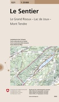 Wandelkaart - Topografische kaart 1221 Le Sentier | Swisstopo
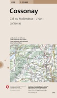 Wandelkaart - Topografische kaart 1222 Cossonay | Swisstopo
 Wandelkaart - Topografische kaart 1222 SB - Serie Bleue Blain - Nort-sur-Erdre | IGN - Institut Géographique National
 Topografische kaart - Wandelkaart 1223 SB - Serie Bleue Nantes - St Herblain | IGN - Institut Géographique National
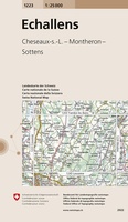 Wandelkaart - Topografische kaart 1223 Echallens | Swisstopo
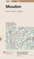 Wandelkaart - Topografische kaart 1224 Moudon | Swisstopo
 Topografische kaart - Wandelkaart 1224 SB - Serie Bleue St-Philbert-de-Grand-Lieu, Les Sorinières | IGN - Institut Géographique National
 Wandelkaart - Topografische kaart 1225 SB - Serie Bleue Legé | IGN - Institut Géographique National
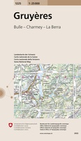 Wandelkaart - Topografische kaart 1225 Gruyères | Swisstopo
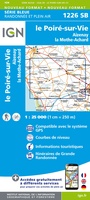 Wandelkaart - Topografische kaart 1226 SB - Serie Bleue Le Poiré-sur-Vie, Aizenay, La Mothe-Achard | IGN - Institut Géographique National
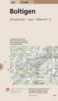 Wandelkaart - Topografische kaart 1226 Boltigen | Swisstopo
 Wandelkaart - Topografische kaart 1227 Niesen | Swisstopo★★★★★
 Wandelkaart - Topografische kaart 1227 SB - Serie Bleue Aubigny-les-Clouzeaux | IGN - Institut Géographique National
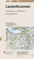 Wandelkaart - Topografische kaart 1228 Lauterbrunnen | Swisstopo★★★★★
 Wandelkaart - Topografische kaart 1229 Grindelwald | Swisstopo★★★★★
 Wandelkaart - Topografische kaart 123 Landranger Lleyn Peninsula - Wales | Ordnance Survey★★★★★
 Topografische kaart 123 MT50 Portomarín | CNIG - Instituto Geográfico Nacional1
 Topografische kaart 123-II Portomarín | CNIG - Instituto Geográfico Nacional1
Laatste reviews

Hoogtepunten van Rügen in een oogopslag
Gidsje werkt voor mij goed als aanvulling op gedetailleerde reisgids Rügen, Hiddensee und Strallsund van Michael Müller Verlag. Wel een beetje populair/melig taalgebruik.
★★★★★ door Jacques 31 mei 2026 | Heeft dit artikel gekocht
Beste reisgids voor Rügen
Gedetailleerd, overzichtelijk en handzaam formaat.
★★★★★ door Jacques 31 mei 2026 | Heeft dit artikel gekocht
Overzichtelijk
Prachtig vormgegeven boek met veel wetenswaardigheden en routes over de Lanquedoc
★★★★★ door WIM LUCASSEN 31 mei 2026 | Heeft dit artikel gekocht
Mooi uitgevoerde kaart maar out-of-date
Mooi uitgevoerde kaart, veel (touristische) informatie en sterk watervast papier. Maar, hoewel uitgegeven in 2022, is het databestand uit 2010. Het wegennet is Noord Spanje …
★★★★★ door Soons 30 mei 2026 | Heeft dit artikel gekocht