Winkelwagen
Geen items in winkelwagen
Ga naar winkelwagen
Topografische kaarten - Europa
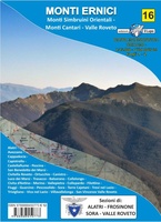 Wandelkaart - Topografische kaart 16 Gruppo dei Monti Ernici | Edizione il Lupo
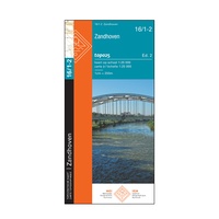 Topografische kaart - Wandelkaart 16/1-2 Topo25 Zandhoven | NGI - Nationaal Geografisch Instituut
 Topografische kaart - Wandelkaart 16/7-8 Topo25 Geel | NGI - Nationaal Geografisch Instituut
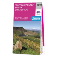 Wandelkaart - Topografische kaart 160 Landranger Brecon Beacons - Wales | Ordnance Survey
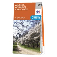 Wandelkaart - Topografische kaart 160 OS Explorer Map Windsor, Weybridge, Bracknell | Thames Path | Ordnance Survey
 Wandelkaart - Topografische kaart 161 Landranger Abergavenny & The Black Mountains/Y Mynyddoedd Duon - Brecon Beacons / Wales | Ordnance Survey
 Wandelkaart - Topografische kaart 161 OS Explorer Map London South (greenw.m) | Ordnance Survey
 Wandelkaart - Topografische kaart 1612OT Caen - Ouistreham , Normandië | IGN - Institut Géographique National
 Topografische kaart - Wandelkaart 1613 SB - Serie Bleue Saint-Pierre-sur-Dives | IGN - Institut Géographique National
 Wandelkaart - Topografische kaart 1614 SB - Serie Bleue Falaise | IGN - Institut Géographique National
 Wandelkaart - Topografische kaart 1615 SB - Serie Bleue Argentan - Putanges-Pont-Ecrepin | IGN - Institut Géographique National
 Wandelkaart - Topografische kaart 1616 SB - Serie Bleue La Ferté-Macé, Pré-en-Pail, Carrouges | IGN - Institut Géographique National
 Wandelkaart - Topografische kaart 1617 SB - Serie Bleue Villaines-la-Juhel, St-Pierre-des-Nids, Alpes Mancelles | IGN - Institut Géographique National
 Wandelkaart - Topografische kaart 1619 SB - Serie Bleue Loué - Brûlon, Noyen-sur-Sarthe | IGN - Institut Géographique National
 Wandelkaart - Topografische kaart 162 OS Explorer Map Greenwich, Gravesend | Ordnance Survey
 Wandelkaart - Topografische kaart 162 Landranger Gloucester & Forest of Dean - Wales | Ordnance Survey
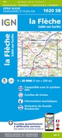 Topografische kaart - Wandelkaart 1620 SB - Serie Bleue La Flèche | IGN - Institut Géographique National
 Topografische kaart - Wandelkaart 1622 Longué-Jumelles, Beaufort-en-Vallée | IGN - Institut Géographique National
 Topografische kaart - Wandelkaart 1624 SB - Serie Bleue Thouars | IGN - Institut Géographique National
 Topografische kaart - Wandelkaart 1625 SB - Serie Bleue Thouars | IGN - Institut Géographique National
Laatste reviews

Hoogtepunten van Rügen in een oogopslag
Gidsje werkt voor mij goed als aanvulling op gedetailleerde reisgids Rügen, Hiddensee und Strallsund van Michael Müller Verlag. Wel een beetje populair/melig taalgebruik.
★★★★★ door Jacques 31 mei 2026 | Heeft dit artikel gekocht
Beste reisgids voor Rügen
Gedetailleerd, overzichtelijk en handzaam formaat.
★★★★★ door Jacques 31 mei 2026 | Heeft dit artikel gekocht
Overzichtelijk
Prachtig vormgegeven boek met veel wetenswaardigheden en routes over de Lanquedoc
★★★★★ door WIM LUCASSEN 31 mei 2026 | Heeft dit artikel gekocht
Mooi uitgevoerde kaart maar out-of-date
Mooi uitgevoerde kaart, veel (touristische) informatie en sterk watervast papier. Maar, hoewel uitgegeven in 2022, is het databestand uit 2010. Het wegennet is Noord Spanje …
★★★★★ door Soons 30 mei 2026 | Heeft dit artikel gekocht