Winkelwagen
Geen items in winkelwagen
Ga naar winkelwagen
Topografische kaarten - Europa
 Topografische kaart 152-III Cambados | CNIG - Instituto Geográfico Nacional
 Topografische kaart 152-IV Campo Lameiro | CNIG - Instituto Geográfico Nacional
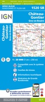 Wandelkaart - Topografische kaart 1520 SB - Serie Bleue Château-Gontier | IGN - Institut Géographique National
 Wandelkaart - Topografische kaart 1521 SB - Serie Bleue le Lion-d'Angers | IGN - Institut Géographique National
 Wandelkaart - Topografische kaart 1522ET Angers | IGN - Institut Géographique National
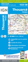 Wandelkaart - Topografische kaart 1523 SB - Serie Bleue Thouarcé | IGN - Institut Géographique National
 Topografische kaart - Wandelkaart 1524 SB - Serie Bleue Vihiers | IGN - Institut Géographique National
 Topografische kaart - Wandelkaart 1525 SB - Serie Bleue Bressuire | IGN - Institut Géographique National
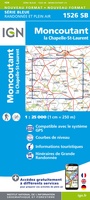 Wandelkaart - Topografische kaart 1526 SB - Serie Bleue Moncoutant - La Chapelle-Saint-Laurent | IGN - Institut Géographique National
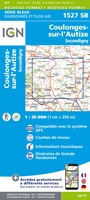 Wandelkaart - Topografische kaart 1527 SB - Serie Bleue Coulonges-sur-l'Autize, Secondigny | IGN - Institut Géographique National
 Wandelkaart - Topografische kaart 1528 SB - Serie Bleue Niort | IGN - Institut Géographique National
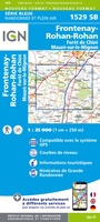 Wandelkaart - Topografische kaart 1529 SB - Serie Bleue Mauzé-sur-le-Mignon, Frontenay-Rohan, Foret de Chize | IGN - Institut Géographique National
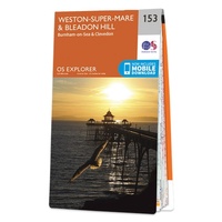 Wandelkaart - Topografische kaart 153 OS Explorer Map Weston-super-Mare, Bleadon Hill | Ordnance Survey
 Wandelkaart - Topografische kaart 153 Landranger Bedford & Huntingdon, St Neots & Biggleswade | Ordnance Survey
 Wandelkaart - Topografische kaart 1530 SB - Serie Bleue Saint-Jean-d'Angély | IGN - Institut Géographique National
 Wandelkaart - Topografische kaart 1531 SB - Serie Bleue Saintes - Burie | IGN - Institut Géographique National★★★★★
 Wandelkaart - Topografische kaart 1532 SB - Serie Bleue Pons | IGN - Institut Géographique National
 Topografische kaart - Wandelkaart 1533 SB - Serie Bleue Jonzac | IGN - Institut Géographique National
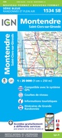 Topografische kaart - Wandelkaart 1534 SB - Serie Bleue Montendre, St-Ciers-sur-Girond | IGN - Institut Géographique National
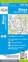 Wandelkaart - Topografische kaart 1535 SB - Serie Bleue Blaye | IGN - Institut Géographique National
Laatste reviews

Hoogtepunten van Rügen in een oogopslag
Gidsje werkt voor mij goed als aanvulling op gedetailleerde reisgids Rügen, Hiddensee und Strallsund van Michael Müller Verlag. Wel een beetje populair/melig taalgebruik.
★★★★★ door Jacques 31 mei 2026 | Heeft dit artikel gekocht
Beste reisgids voor Rügen
Gedetailleerd, overzichtelijk en handzaam formaat.
★★★★★ door Jacques 31 mei 2026 | Heeft dit artikel gekocht
Overzichtelijk
Prachtig vormgegeven boek met veel wetenswaardigheden en routes over de Lanquedoc
★★★★★ door WIM LUCASSEN 31 mei 2026 | Heeft dit artikel gekocht
Mooi uitgevoerde kaart maar out-of-date
Mooi uitgevoerde kaart, veel (touristische) informatie en sterk watervast papier. Maar, hoewel uitgegeven in 2022, is het databestand uit 2010. Het wegennet is Noord Spanje …
★★★★★ door Soons 30 mei 2026 | Heeft dit artikel gekocht