Winkelwagen
Geen items in winkelwagen
Ga naar winkelwagen
Topografische kaarten - Europa
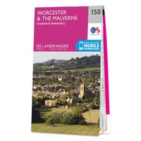 Wandelkaart - Topografische kaart 150 Landranger Worcester & The Malverns, Evesham & Tewkesbury | Ordnance Survey
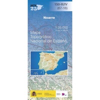 Topografische kaart 150-III/IV Noarre | CNIG - Instituto Geográfico Nacional
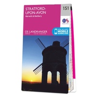 Wandelkaart - Topografische kaart 151 Landranger Stratford-upon-Avon, Warwick & Banbury | Ordnance Survey
 Topografische kaart 151 MT50 Ribeira | CNIG - Instituto Geográfico Nacional1
 Wandelkaart - Topografische kaart 151 OS Explorer Map Cardiff & Bridgend | Ordnance Survey
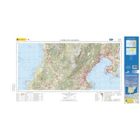 Topografische kaart 151-II/IA A Pobra do Caramiñal | CNIG - Instituto Geográfico Nacional1
 Topografische kaart 151-IV/III Ribeira | CNIG - Instituto Geográfico Nacional
 Wandelkaart - Topografische kaart 1512OT Bayeux Arromanches Les Bains Plages - Normandië | IGN - Institut Géographique National★★★★★
 Wandelkaart - Topografische kaart 1513 SB - Serie Bleue Aunay-sur-Odon | IGN - Institut Géographique National
 Topografische kaart - Wandelkaart 1514 SB - Serie Bleue Condé-sur-Noireau | IGN - Institut Géographique National★★★★★
 Wandelkaart - Topografische kaart 1515 SB - Serie Bleue Flers | IGN - Institut Géographique National
 Wandelkaart - Topografische kaart 1516 SB - Serie Bleue Domfront | IGN - Institut Géographique National
 Wandelkaart - Topografische kaart 1517 SB - Serie Bleue Mayenne - Le Horps | IGN - Institut Géographique National★★★★★
 Wandelkaart - Topografische kaart 1518 SB - Serie Bleue Evron - Montsûrs | IGN - Institut Géographique National★★★★★
 Wandelkaart - Topografische kaart 1519 SB - Serie Bleue Meslay-du-Maine, Vaiges | IGN - Institut Géographique National
 Wandelkaart - Topografische kaart 152 OS Explorer Map Newport, Pontypool | Ordnance Survey
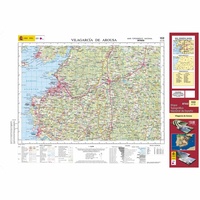 Topografische kaart 152 MT50 Vilagarcía de Arousa | CNIG - Instituto Geográfico Nacional1
 Wandelkaart - Topografische kaart 152 Landranger Northampton & Milton Keynes, Buckingham & Daventry | Ordnance Survey
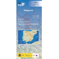 Topografische kaart 152-I Vilagarcía | CNIG - Instituto Geográfico Nacional
 Topografische kaart 152-III Cambados | CNIG - Instituto Geográfico Nacional
Laatste reviews

Prima kaart voor tochtplanning en backup
Duuraam resistent papier. Voor navigatie zou een meer gedetailleerde schaal beter zijn, maar de eigenlijke wandelroutes zijn ook in het veld vindbaar door markering. In …
★★★★★ door Jan Willem Genuit 14 mei 2026 | Heeft dit artikel gekocht
Duidelijke kaart
Prima kaart met veel informatie.
★★★★★ door Hans 13 mei 2026 | Heeft dit artikel gekocht
Goede kaart, maar weinig meerwaarde boven de 1:200.000-kaart
Op zich een goede kaart, maar het is eigenlijk gewoon een uitvergroting van de bekende 1:200.000-kaarten, dus weinig tot geen extra informatie. Wel wat duidelijker …
★★★★★ door FGM Ballhaus 13 mei 2026 | Heeft dit artikel gekocht
Iets te grote schaal voor wandelen, maar verder een goede kaart voor wandelen en fietsen
Duidelijke kaart, goed voor fietsen, iets minder voor wandelen door de schaal, maar er is heel weinig kaartmateriaal voor dit gebied dus daarom toch dik …
★★★★★ door FGM Ballhaus 13 mei 2026 | Heeft dit artikel gekocht