Winkelwagen
Geen items in winkelwagen
Ga naar winkelwagen
Topografische kaarten - Europa
 Topografische kaart - Wandelkaart 30 Discovery Ierland Mayo (W CENT) | Ordnance Survey Ireland
 Topografische kaart - Wandelkaart 30 Sverigeserien Falköping | Norstedts
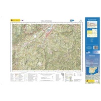 Topografische kaart 30-I Villaviciosa | CNIG - Instituto Geográfico Nacional1
 Topografische kaart 30-II/15-IV Colunga | CNIG - Instituto Geográfico Nacional1
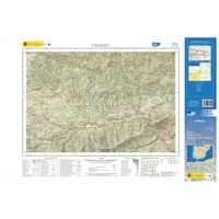 Topografische kaart 30-III L'Infiestu | CNIG - Instituto Geográfico Nacional1
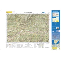 Topografische kaart 30-IV Les Arriondes | CNIG - Instituto Geográfico Nacional1
 Wandelkaart - Topografische kaart 30/1-2 Topo25 Zottegem | NGI - Nationaal Geografisch Instituut
 Wandelkaart - Topografische kaart 300 OS Explorer Map Howardian Hills, Malton | Ordnance Survey
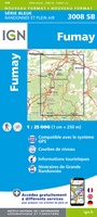 Topografische kaart - Wandelkaart 3008 SB - Serie Bleue Fumay | IGN - Institut Géographique National★★★★★
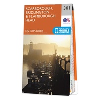 Wandelkaart - Topografische kaart 301 OS Explorer Map Scarborough, Bridlington & Flamborough Head | Ordnance Survey
 Topografische kaart 301-I Entrimo | CNIG - Instituto Geográfico Nacional
 Topografische kaart 301/336 MT50 Lobios | CNIG - Instituto Geográfico Nacional1
 Wandelkaart - Topografische kaart 3010 SB - Serie Bleue le Chesne | IGN - Institut Géographique National
 Wandelkaart - Topografische kaart 3011 SB - Serie Bleue Vouziers | IGN - Institut Géographique National
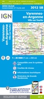 Topografische kaart - Wandelkaart 3012 SB - Serie Bleue Varennes-en-Argonne | IGN - Institut Géographique National
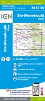 Wandelkaart - Topografische kaart 3013 SB - Serie Bleue Ste-Menehould | IGN - Institut Géographique National
 Wandelkaart - Topografische kaart 3014 SB - Serie Bleue Revigny-sur-Ornain | IGN - Institut Géographique National
 Wandelkaart - Topografische kaart 3015 SB - Serie Bleue Saint-Dizier, Pargny-sur-Saulx | IGN - Institut Géographique National
 Wandelkaart - Topografische kaart 3016 SB - Serie Bleue Wassy, Montier-en-Der, Lac du Der-Chantecoq | IGN - Institut Géographique National
 Wandelkaart - Topografische kaart 3017 SB - Serie Bleue Doulevant-le-Chateau, Soulaines, Dhuys | IGN - Institut Géographique National★★★★★
Laatste reviews

Prima kaart voor tochtplanning en backup
Duuraam resistent papier. Voor navigatie zou een meer gedetailleerde schaal beter zijn, maar de eigenlijke wandelroutes zijn ook in het veld vindbaar door markering. In …
★★★★★ door Jan Willem Genuit 14 mei 2026 | Heeft dit artikel gekocht
Duidelijke kaart
Prima kaart met veel informatie.
★★★★★ door Hans 13 mei 2026 | Heeft dit artikel gekocht
Goede kaart, maar weinig meerwaarde boven de 1:200.000-kaart
Op zich een goede kaart, maar het is eigenlijk gewoon een uitvergroting van de bekende 1:200.000-kaarten, dus weinig tot geen extra informatie. Wel wat duidelijker …
★★★★★ door FGM Ballhaus 13 mei 2026 | Heeft dit artikel gekocht
Iets te grote schaal voor wandelen, maar verder een goede kaart voor wandelen en fietsen
Duidelijke kaart, goed voor fietsen, iets minder voor wandelen door de schaal, maar er is heel weinig kaartmateriaal voor dit gebied dus daarom toch dik …
★★★★★ door FGM Ballhaus 13 mei 2026 | Heeft dit artikel gekocht