Winkelwagen
Geen items in winkelwagen
Ga naar winkelwagen
Topografische kaarten - Europa
 Wandelkaart - Topografische kaart 2120 SB - Serie Bleue Beaugency, Mer, Meung-sur-Loire | IGN - Institut Géographique National★★★★★
 Wandelkaart - Topografische kaart 2121 SB - Serie Bleue Mer | IGN - Institut Géographique National
 Wandelkaart - Topografische kaart 2121OT Blois - Chambord - Cheverny | IGN - Institut Géographique National
 Wandelkaart - Topografische kaart 2122 SB - Serie Bleue Romorantin-Lanthenay | IGN - Institut Géographique National
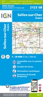 Wandelkaart - Topografische kaart 2123 SB - Serie Bleue Selles-sur-Cher, Chabris | IGN - Institut Géographique National
 Wandelkaart - Topografische kaart 2124 SB - Serie Bleue Lucay-le-Male | IGN - Institut Géographique National
 Wandelkaart - Topografische kaart 2125 SB - Serie Bleue Châteauroux, Levroux, Villedieu-sur-Indre | IGN - Institut Géographique National
 Wandelkaart - Topografische kaart 2126 SB - Serie Bleue Le Poinçonnet, Velles, Luant | IGN - Institut Géographique National
 Topografische kaart - Wandelkaart 2127 SB - Serie Bleue Argenton-sur-Creuse | IGN - Institut Géographique National
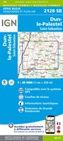 Wandelkaart - Topografische kaart 2128 SB - Serie Bleue Dun-le-Palestel | IGN - Institut Géographique National★★★★★
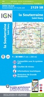 Wandelkaart - Topografische kaart 2129 SB - Serie Bleue La Souterraine | IGN - Institut Géographique National
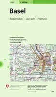 Wandelkaart - Topografische kaart 213 Basel | Swisstopo
 Topografische kaart 213 MT50 El Pont de Suert | CNIG - Instituto Geográfico Nacional1
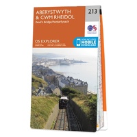 Wandelkaart - Topografische kaart 213 OS Explorer Map Aberystwyth, Cwm Rheidol | Ordnance Survey
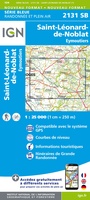 Wandelkaart - Topografische kaart 2131 SB - Serie Bleue St-Léonard-de-Noblat, Eymoutiers | IGN - Institut Géographique National
 Wandelkaart - Topografische kaart 2132 SB - Serie Bleue Châteauneuf-la-Forêt, Chamberet | IGN - Institut Géographique National
 Wandelkaart - Topografische kaart 2133 SB - Serie Bleue Uzerche, Treignac, Seilhac | IGN - Institut Géographique National
 Wandelkaart - Topografische kaart 2134 SB - Serie Bleue Tulle | IGN - Institut Géographique National
 Wandelkaart - Topografische kaart 2135 SB - Serie Bleue Beynat, Meyssac, Collonges-la-Rouge, Brive-la-Gaillarde | IGN - Institut Géographique National
 Wandelkaart - Topografische kaart 2137 SB - Serie Bleue Gramat | IGN - Institut Géographique National
Laatste reviews

Hoogtepunten van Rügen in een oogopslag
Gidsje werkt voor mij goed als aanvulling op gedetailleerde reisgids Rügen, Hiddensee und Strallsund van Michael Müller Verlag. Wel een beetje populair/melig taalgebruik.
★★★★★ door Jacques 31 mei 2026 | Heeft dit artikel gekocht
Beste reisgids voor Rügen
Gedetailleerd, overzichtelijk en handzaam formaat.
★★★★★ door Jacques 31 mei 2026 | Heeft dit artikel gekocht
Overzichtelijk
Prachtig vormgegeven boek met veel wetenswaardigheden en routes over de Lanquedoc
★★★★★ door WIM LUCASSEN 31 mei 2026 | Heeft dit artikel gekocht
Mooi uitgevoerde kaart maar out-of-date
Mooi uitgevoerde kaart, veel (touristische) informatie en sterk watervast papier. Maar, hoewel uitgegeven in 2022, is het databestand uit 2010. Het wegennet is Noord Spanje …
★★★★★ door Soons 30 mei 2026 | Heeft dit artikel gekocht