Winkelwagen
Geen items in winkelwagen
Ga naar winkelwagen
Topografische kaarten - Europa
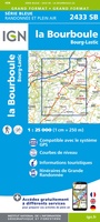 Topografische kaart - Wandelkaart 2433 SB - Serie Bleue la Bourboule | IGN - Institut Géographique National
 Wandelkaart - Topografische kaart 2434OT Riom es Montagnes, Bort-les-Orgues, PNR des Volcans d'Auvergne | IGN - Institut Géographique National
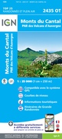 Wandelkaart - Topografische kaart 2435OT Monts du Cantal | IGN - Institut Géographique National★★★★★
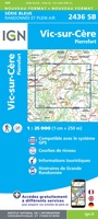 Wandelkaart - Topografische kaart 2436 SB - Serie Bleue Pierrefort, Barrage de Sarrans, Vic-sur-Cère | IGN - Institut Géographique National★★★★★
 Wandelkaart - Topografische kaart 2437 SB - Serie Bleue Laguiole, Entraygues-sur-Truyere | IGN - Institut Géographique National★★★★★
 Wandelkaart - Topografische kaart 2438 SB - Serie Bleue Espalion - Estaing | IGN - Institut Géographique National
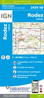 Wandelkaart - Topografische kaart 2439 SB - Serie Bleue Rodez - Laissac | IGN - Institut Géographique National
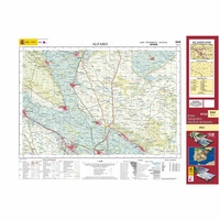 Topografische kaart 244 MT50 Alfaro | CNIG - Instituto Geográfico Nacional1
 Wandelkaart - Topografische kaart 244 OS Explorer Map Cannock Chase, Chasewater | Ordnance Survey
 Wandelkaart - Topografische kaart 244 Escholzmatt | Swisstopo
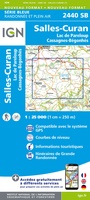 Wandelkaart - Topografische kaart 2440 SB - Serie Bleue Salles-Curan, Lac de Pareloup, Cassagnes, Begonhes | IGN - Institut Géographique National
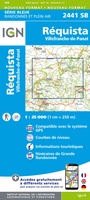 Wandelkaart - Topografische kaart 2441 SB - Serie Bleue Réquista, Villefranche-de-Panat | IGN - Institut Géographique National★★★★★
 Wandelkaart - Topografische kaart 2442 SB - Serie Bleue Belmont-sur-Rance, St-Sernin-sur-Rance | IGN - Institut Géographique National
 Wandelkaart - Topografische kaart 2443ET Monts de Lacaune, La Salvetat - sur - Agout, PNR du Haut Languedoc | IGN - Institut Géographique National★★★★★
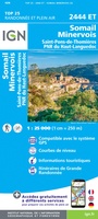 Wandelkaart - Topografische kaart 2444ET Somail - Minervois | IGN - Institut Géographique National
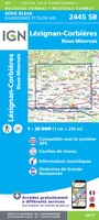 Wandelkaart - Topografische kaart 2445 SB - Serie Bleue Lézignan - Corbieres, Rieux-Minervois | IGN - Institut Géographique National
 Wandelkaart - Topografische kaart 2446 SB - Serie Bleue Ferrals-les-Corbières, Capendu | IGN - Institut Géographique National
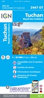 Wandelkaart - Topografische kaart 2447OT Tuchan | IGN - Institut Géographique National
 Wandelkaart - Topografische kaart 2448OT Thuir, Ille-sur-Tet, Latour-de-France, Estagel, Millas | IGN - Institut Géographique National
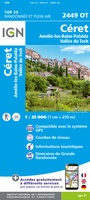 Wandelkaart - Topografische kaart 2449OT Céret, Amélie-les-Bains-Palalda, Vallée du Tech | IGN - Institut Géographique National
Laatste reviews

Hoogtepunten van Rügen in een oogopslag
Gidsje werkt voor mij goed als aanvulling op gedetailleerde reisgids Rügen, Hiddensee und Strallsund van Michael Müller Verlag. Wel een beetje populair/melig taalgebruik.
★★★★★ door Jacques 31 mei 2026 | Heeft dit artikel gekocht
Beste reisgids voor Rügen
Gedetailleerd, overzichtelijk en handzaam formaat.
★★★★★ door Jacques 31 mei 2026 | Heeft dit artikel gekocht
Overzichtelijk
Prachtig vormgegeven boek met veel wetenswaardigheden en routes over de Lanquedoc
★★★★★ door WIM LUCASSEN 31 mei 2026 | Heeft dit artikel gekocht
Mooi uitgevoerde kaart maar out-of-date
Mooi uitgevoerde kaart, veel (touristische) informatie en sterk watervast papier. Maar, hoewel uitgegeven in 2022, is het databestand uit 2010. Het wegennet is Noord Spanje …
★★★★★ door Soons 30 mei 2026 | Heeft dit artikel gekocht