Winkelwagen
Geen items in winkelwagen
Ga naar winkelwagen
Topografische kaarten - Europa
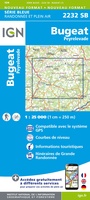 Wandelkaart - Topografische kaart 2232 SB - Serie Bleue Bugeat - Peyrelevade | IGN - Institut Géographique National
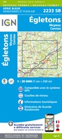 Wandelkaart - Topografische kaart 2233 SB - Serie Bleue Egletons - Meymac - Corrèze | IGN - Institut Géographique National
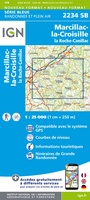 Wandelkaart - Topografische kaart 2234 SB - Serie Bleue Marcillac-la-Croisille, La Roche-Canillac | IGN - Institut Géographique National
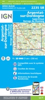 Wandelkaart - Topografische kaart 2235 SB - Serie Bleue Argentat-sur-Dordogne | IGN - Institut Géographique National★★★★★
 Wandelkaart - Topografische kaart 2236 SB - Serie Bleue Saint-Céré, Sousceyrac-en-Quercy | IGN - Institut Géographique National★★★★★
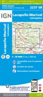 Wandelkaart - Topografische kaart 2237 SB - Serie Bleue Latronquière, Lacapelle-Marival | IGN - Institut Géographique National
 Wandelkaart - Topografische kaart 2238 SB - Serie Bleue Figeac | IGN - Institut Géographique National★★★★★
 Wandelkaart - Topografische kaart 2239 SB - Serie Bleue Villefranche-de-Rouergue, Martiel | IGN - Institut Géographique National
 Topografische kaart 224 MT50 Ponteareas | CNIG - Instituto Geográfico Nacional1
 Wandelkaart - Topografische kaart 224 OS Explorer Map Corby, Kettering, Wellingborough | Ordnance Survey
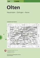 Wandelkaart - Topografische kaart 224 Olten | Swisstopo
 Wandelkaart - Topografische kaart 2240 SB - Serie Bleue Varen, Laguépie, Najac | IGN - Institut Géographique National
 Wandelkaart - Topografische kaart 2241 SB - Serie Bleue Albi, Cordes-sur-Ciel | IGN - Institut Géographique National★★★★★
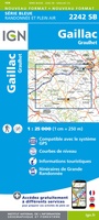 Wandelkaart - Topografische kaart 2242 SB - Serie Bleue Gaillac, Graulhet | IGN - Institut Géographique National
 Wandelkaart - Topografische kaart 2243 SB - Serie Bleue Puylaurens, Lautrec | IGN - Institut Géographique National
 Wandelkaart - Topografische kaart 2244 SB - Serie Bleue Revel, St-Félix-Lauragais, Sorèze | IGN - Institut Géographique National
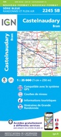 Wandelkaart - Topografische kaart 2245 SB - Serie Bleue Bram - Castelnaudary | IGN - Institut Géographique National
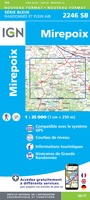 Wandelkaart - Topografische kaart 2246 SB - Serie Bleue Mirepoix | IGN - Institut Géographique National
 Wandelkaart - Topografische kaart 2247OT Lavelanet, Chalabre, Montségur, Laroque-d'Olmes | IGN - Institut Géographique National
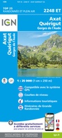 Wandelkaart - Topografische kaart 2248ET Axat, Querigut | IGN - Institut Géographique National★★★★★
Laatste reviews

Mooie en degelijke wereldbol
Mooie en degelijke wereldbol. Voldoet volledig aan mijn wensen.
★★★★★ door Ben te Molder 21 april 2026 | Heeft dit artikel gekocht
Mooie kaart
Grote sortering en prima verzending
★★★★★ door Willem 21 april 2026 | Heeft dit artikel gekocht
Lichtgewicht en handzaam
Heel blij mee! Super handzaam, lichtgewicht boekje om mee te nemen op de camino. Alles staat er overzichtelijk in wat nodig is. Deze gaat zeker …
★★★★★ door Greetje 20 april 2026 | Heeft dit artikel gekocht
Handig en met duidelijke kaartjes
Handig beknopt boekje met duidelijke kaartjes. Handige tips, ook over OV, musea e.d. Het formaat is passend binnen iedere rugak. Wel in het Engels, maar …
★★★★★ door Frits 20 april 2026 | Heeft dit artikel gekocht