Winkelwagen
Geen items in winkelwagen
Ga naar winkelwagen
Topografische kaarten - Europa
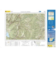 Topografische kaart 241-IV Laguna de Cameros | CNIG - Instituto Geográfico Nacional1
 Wandelkaart - Topografische kaart 2410 SB - Serie Bleue Ressons-sur-Matz, Montdidier | IGN - Institut Géographique National
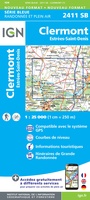 Wandelkaart - Topografische kaart 2411 SB - Serie Bleue Estrées-St-Denis, Clermont | IGN - Institut Géographique National
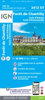 Wandelkaart - Topografische kaart 2412OT Forêt de Chantilly | IGN - Institut Géographique National★★★★★
 Wandelkaart - Topografische kaart 2413OT Dammartin-en-Goële, Centre | IGN - Institut Géographique National
 Wandelkaart - Topografische kaart 2414ET Marne-la-Vallée - Forêts: Crécy - Armainvilliers - Ferrières, Centre | IGN - Institut Géographique National
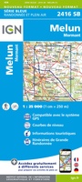 Wandelkaart - Topografische kaart 2416 SB - Serie Bleue Melun, Mormant | IGN - Institut Géographique National
 Wandelkaart - Topografische kaart 2417OT Forêt de Fontainebleau | IGN - Institut Géographique National★★★★★
 Wandelkaart - Topografische kaart 2418 SB - Serie Bleue Château-Landon, Corbeilles | IGN - Institut Géographique National
 Wandelkaart - Topografische kaart 2419 SB - Serie Bleue Montargis - Lorris | IGN - Institut Géographique National
 Topografische kaart 242 MT50 Arnedillo | CNIG - Instituto Geográfico Nacional1
 Wandelkaart - Topografische kaart 242 OS Explorer Map Telford, Ironbridge, the Wrekin | Ordnance Survey
 Wandelkaart - Topografische kaart 242 Avenches | Swisstopo
 Wandelkaart - Topografische kaart 2420 SB - Serie Bleue Châtillon-Coligny, Nogent-sur-Vernisson | IGN - Institut Géographique National
 Wandelkaart - Topografische kaart 2421 SB - Serie Bleue Briare | IGN - Institut Géographique National
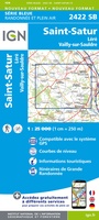 Wandelkaart - Topografische kaart 2422 SB - Serie Bleue St-Satur, Léré, Vailly-sur-Sauldre | IGN - Institut Géographique National
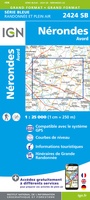 Wandelkaart - Topografische kaart 2424 SB - Serie Bleue Nérondes - Avord | IGN - Institut Géographique National
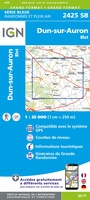 Wandelkaart - Topografische kaart 2425 SB - Serie Bleue Dun-sur-Aubron - Blet | IGN - Institut Géographique National
 Topografische kaart - Wandelkaart 2426 SB - Serie Bleue Charenton-du-Cher | IGN - Institut Géographique National
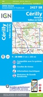 Topografische kaart - Wandelkaart 2427 SB - Serie Bleue Cérilly | IGN - Institut Géographique National
Laatste reviews

Super
Rother wandelgidsen stellen nooit teleur. Mooie routes, goede opgave kilometers, hoogtemeters en horeca. Een aanrader!
★★★★★ door Anita Geel 13 januari 2026 | Heeft dit artikel gekocht
Prachtig boek!
Mooi boek met prachtige foto’s! Voldoet helemaal aan mijn verwachtingen.
★★★★★ door Hans Eldering 13 januari 2026 | Heeft dit artikel gekocht
zeer vlotte levering
het product voldeed aan mijn verwachtingen en was geplastificeerd wat natuurlijk perfect is voor kaart die veel wordt geraadpleegd!
★★★★★ door Peter Lantinga 13 januari 2026 | Heeft dit artikel gekocht
Gedetailleerde wegenkaart
Ik heb de wegenkaart Maleisië aangeschaft om zelf een rondreis per huurauto te kunnen plannen. Deze kaart heeft daar heel goed bij geholpen doordat er …
★★★★★ door M. Rizvi 13 januari 2026 | Heeft dit artikel gekocht