Winkelwagen
Geen items in winkelwagen
Ga naar winkelwagen
Topografische kaarten - Europa
 Topografische kaart - Wandelkaart 2326 SB - Serie Bleue Saint-Amand-Montrond | IGN - Institut Géographique National
 Wandelkaart - Topografische kaart 2327 SB - Serie Bleue Culan - Châteaumeillant | IGN - Institut Géographique National
 Wandelkaart - Topografische kaart 2328 SB - Serie Bleue Huriel - Boussac | IGN - Institut Géographique National
 Wandelkaart - Topografische kaart 2329 SB - Serie Bleue Évaux-les-Bains | IGN - Institut Géographique National
 Wandelkaart - Topografische kaart 233 OS Explorer Map Leicester, Hinckley | Ordnance Survey
 Wandelkaart - Topografische kaart 233 Solothurn | Swisstopo
 Topografische kaart 233-IV Saelices de Mayorga | CNIG - Instituto Geográfico Nacional1
 Wandelkaart - Topografische kaart 2330 SB - Serie Bleue Auzances - Aubusson | IGN - Institut Géographique National
 Wandelkaart - Topografische kaart 2331 SB - Serie Bleue Felletin | IGN - Institut Géographique National
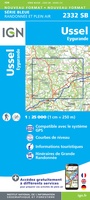 Wandelkaart - Topografische kaart 2332 SB - Serie Bleue Ussel | IGN - Institut Géographique National
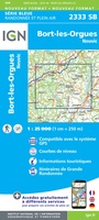 Wandelkaart - Topografische kaart 2333 SB - Serie Bleue Bort-les-Orgues | IGN - Institut Géographique National
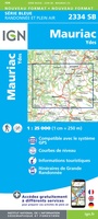 Wandelkaart - Topografische kaart 2334 SB - Serie Bleue Mauriac | IGN - Institut Géographique National
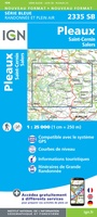 Wandelkaart - Topografische kaart 2335 SB - Serie Bleue St-Cernin, Salers, Pleaux | IGN - Institut Géographique National
 Wandelkaart - Topografische kaart 2336 SB - Serie Bleue Aurillac, Barrage de St-Etienne-Cantalès, Laroquebrou | IGN - Institut Géographique National
 Wandelkaart - Topografische kaart 2337 SB - Serie Bleue Maurs | IGN - Institut Géographique National
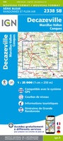 Wandelkaart - Topografische kaart 2338 SB - Serie Bleue Decazeville | IGN - Institut Géographique National
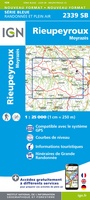 Wandelkaart - Topografische kaart 2339 SB - Serie Bleue Rieupeyroux - Moyrazes | IGN - Institut Géographique National
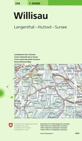 Wandelkaart - Topografische kaart 234 Willisau | Swisstopo
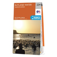 Wandelkaart - Topografische kaart 234 OS Explorer Map Rutland Water, Stamford, Oakham | Ordnance Survey
 Topografische kaart 234-IV Cisneros | CNIG - Instituto Geográfico Nacional1
Laatste reviews

Overzichtelijk
Prachtig vormgegeven boek met veel wetenswaardigheden en routes over de Lanquedoc
★★★★★ door WIM LUCASSEN 31 mei 2026 | Heeft dit artikel gekocht
Mooi uitgevoerde kaart maar out-of-date
Mooi uitgevoerde kaart, veel (touristische) informatie en sterk watervast papier. Maar, hoewel uitgegeven in 2022, is het databestand uit 2010. Het wegennet is Noord Spanje …
★★★★★ door Soons 30 mei 2026 | Heeft dit artikel gekocht
Top service
Zoals altijd snelle levering en je kunt het gewoon afhalen bij hun nieuwe locatie in Groningen. Elk jaar mijn vakantie boeken en kaarten hier kopen …
★★★★★ door Bas 29 mei 2026 | Heeft dit artikel gekocht
Prima kaart met redelijk schaal voor wandelen.
Kaart is niet echt geschikt voor wandelen maar met de aangegeven wegen en de schaal ga ik zeker wel thuis komen.
★★★★★ door Hendrik (Henk) Scholte 29 mei 2026 | Heeft dit artikel gekocht