Winkelwagen
Geen items in winkelwagen
Ga naar winkelwagen
Topografische kaarten - Europa
 Wandelkaart - Topografische kaart 2233 SB - Serie Bleue Egletons - Meymac - Corrèze | IGN - Institut Géographique National
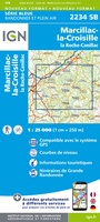 Wandelkaart - Topografische kaart 2234 SB - Serie Bleue Marcillac-la-Croisille, La Roche-Canillac | IGN - Institut Géographique National
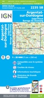 Wandelkaart - Topografische kaart 2235 SB - Serie Bleue Argentat-sur-Dordogne | IGN - Institut Géographique National★★★★★
 Wandelkaart - Topografische kaart 2236 SB - Serie Bleue Saint-Céré, Sousceyrac-en-Quercy | IGN - Institut Géographique National★★★★★
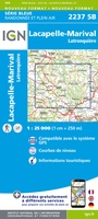 Wandelkaart - Topografische kaart 2237 SB - Serie Bleue Latronquière, Lacapelle-Marival | IGN - Institut Géographique National
 Wandelkaart - Topografische kaart 2238 SB - Serie Bleue Figeac | IGN - Institut Géographique National★★★★★
 Wandelkaart - Topografische kaart 2239 SB - Serie Bleue Villefranche-de-Rouergue, Martiel | IGN - Institut Géographique National
 Wandelkaart - Topografische kaart 224 OS Explorer Map Corby, Kettering, Wellingborough | Ordnance Survey
 Topografische kaart 224 MT50 Ponteareas | CNIG - Instituto Geográfico Nacional1
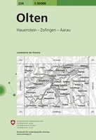 Wandelkaart - Topografische kaart 224 Olten | Swisstopo
 Wandelkaart - Topografische kaart 2240 SB - Serie Bleue Varen, Laguépie, Najac | IGN - Institut Géographique National
 Wandelkaart - Topografische kaart 2241 SB - Serie Bleue Albi, Cordes-sur-Ciel | IGN - Institut Géographique National★★★★★
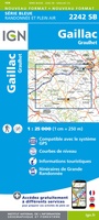 Wandelkaart - Topografische kaart 2242 SB - Serie Bleue Gaillac, Graulhet | IGN - Institut Géographique National
 Wandelkaart - Topografische kaart 2243 SB - Serie Bleue Puylaurens, Lautrec | IGN - Institut Géographique National
 Wandelkaart - Topografische kaart 2244 SB - Serie Bleue Revel, St-Félix-Lauragais, Sorèze | IGN - Institut Géographique National
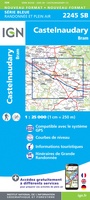 Wandelkaart - Topografische kaart 2245 SB - Serie Bleue Bram - Castelnaudary | IGN - Institut Géographique National
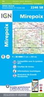 Wandelkaart - Topografische kaart 2246 SB - Serie Bleue Mirepoix | IGN - Institut Géographique National
 Wandelkaart - Topografische kaart 2247OT Lavelanet, Chalabre, Montségur, Laroque-d'Olmes | IGN - Institut Géographique National
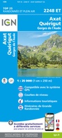 Wandelkaart - Topografische kaart 2248ET Axat, Querigut | IGN - Institut Géographique National★★★★★
 Wandelkaart - Topografische kaart 2249ET Font Romeu, Capcir, Olette | IGN - Institut Géographique National★★★★★
Laatste reviews

Super
Rother wandelgidsen stellen nooit teleur. Mooie routes, goede opgave kilometers, hoogtemeters en horeca. Een aanrader!
★★★★★ door Anita Geel 13 januari 2026 | Heeft dit artikel gekocht
Prachtig boek!
Mooi boek met prachtige foto’s! Voldoet helemaal aan mijn verwachtingen.
★★★★★ door Hans Eldering 13 januari 2026 | Heeft dit artikel gekocht
zeer vlotte levering
het product voldeed aan mijn verwachtingen en was geplastificeerd wat natuurlijk perfect is voor kaart die veel wordt geraadpleegd!
★★★★★ door Peter Lantinga 13 januari 2026 | Heeft dit artikel gekocht
Gedetailleerde wegenkaart
Ik heb de wegenkaart Maleisië aangeschaft om zelf een rondreis per huurauto te kunnen plannen. Deze kaart heeft daar heel goed bij geholpen doordat er …
★★★★★ door M. Rizvi 13 januari 2026 | Heeft dit artikel gekocht