Slingsby Maps
 Wandelkaart 1&2 South Africa: Drakensberg North | Slingsby Maps
DRAKENSBERG NORTH: This double‑sided A1-sized map is the first of three maps in the latest edition of our famous “Slingsby” Drakensberg map series. Side One covers the area from Mpokelana …
 Wandelkaart 3&4 South Africa: Drakensberg Central | Slingsby Maps
DRAKENSBERG CENTRAL: This double‑sided A1-sized map is the second of three maps in the latest edition of our famous “Slingsby” Drakensberg map series. Side One covers the area from Injesuthi …
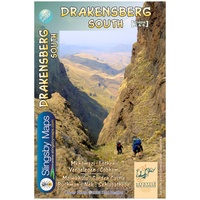 Wandelkaart 5&6 South Africa: Drakensberg South | Slingsby Maps
This double-sided map is the third of three maps in the latest edition of our famous “Slingsby” Drakensberg map series. Side One covers the area from Lotheni southwards through Vergelegen …
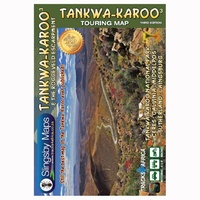 Wegenkaart - landkaart Tankwa-Karoo & Roggeveld Escarpment | Slingsby Maps
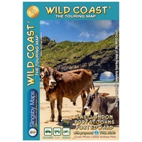 Wegenkaart - landkaart South Africa: Wild Coast | Slingsby Maps
Wild Coast Brand new 6th Edition of this great map : for 15 years the best and only detailed touring map of the Wild Coast! The Wild Coast …
 Wandelkaart Namibia: Fish River Canyon | Slingsby Maps
This double-sided A1-sized map covers the entire iconic Fish River Canyon hike; and on the reverse the complete and fascinating geological map of the oldest canyon on Planet Earth matches …
 Wegenkaart - landkaart Garden Route | Zuid Afrika | Slingsby Maps
Brand new 11th edition of the FIRST and still the BEST Garden Route map … Now thoroughly updated. From Witsand and Heidelberg in the west, this ALL-NEW map has been …
★★★★★ Wegenkaart - landkaart South Africa: Swartberg & Klein-Karoo | Slingsby Maps
All roads from National Highways to minor gravel roads are shown; the many classifications that indi- cate the quality of each road help you plan your route No less than …
 Wandelkaart South Africa: Cape Point and Simon’s Town & Fish Hoek | Slingsby Maps
This is map three in our three-map series of Table Mountain National Park. Waterproof and tear resistant in plastic sleeve. This brand new, fully redrawn and highly detailed map …
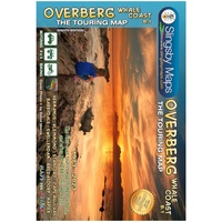 Wegenkaart - landkaart South Africa: Overberg Whale Coast | Slingsby Maps
The Overberg is one of the premier tourist regions of South Africa. Here the Cape Fold Mountains march eastward from Sir Lowry’s Pass, a rugged backdrop to this old Cape …
 Wandelkaart South Africa: Table Mountain | Slingsby Maps
This highly detailed map shows all approved paths on the mountain and includes full GPS information. The map shows the Hoerikwaggo and the Peoples Trail, and covers the area from …
 Wandelkaart South Africa: Silvermine & Hout Bay | Slingsby Maps
The map also includes: The Constantia Winelands All sections of the Hoerikwaggo Trail are shown All approved paths, with detailed DDMMSS GPS coordinates for major junctions, are clearly marked …
 Wegenkaart - landkaart South Africa: Baviaanskloof | Slingsby Maps
Whether you’re a hiker, mountain biker or 4×4 enthusiast this is the map you need for your visit to the spec- tacular Baviaanskloof. This is the most comprehensive, fully researched …
 Wegenkaart - landkaart Cederberg Touring | Slingsby Maps
 Wegenkaart - landkaart South Africa: Day Drives from Cape Town | Slingsby Maps
Our Day Drives from Cape Town map is the most comprehensive map available of the heartland of the Western Cape. The map shows all the roads, towns and relief of …
Laatste reviews

Deze kaart is onmisbaar bij het wandelen in de Eifel, we lopen jaarlijks de Hermannsweg met een vergelijkbare kaart en we kunnen echt niet zonder, …
★★★★★ door R. van den Driesche 01 juli 2026 | Heeft dit artikel gekocht
Ideale kaart om als toerist door Jutland te trekken. Prettige schaal.
★★★★★ door Irma van Hof 01 juli 2026 | Heeft dit artikel gekocht
Kompassboekjes zijn prima gidsen. Dat wordt een leuke vakantie.
★★★★★ door Anna 01 juli 2026 | Heeft dit artikel gekocht
Perfecte wegenatlas en door het A4 formaat handiger dan een uitvouwbare kaart. Fijne combinatie van de wegenatlas en het navigatiesysteem van google maps
★★★★★ door Hay van Emden 30 juni 2026 | Heeft dit artikel gekocht