Philip's Maps
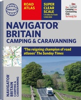 Wegenatlas Navigator Camping and Caravanning – Atlas of Britain | Philip's Maps
THE MUST-HAVE ATLAS OF BRITAIN FOR CAMPING, CARAVANNING AND MOTORHOMES'A map that beats all others' - The Daily Telegraph'Scale, accuracy and clarity are without parallel' - Driving Magazine'No. 1 in …
★★★★★ Wegenatlas Philip's Handy Atlas Britain: | Ringband | A5-Formaat | Philip's Maps
The perfect atlas for planning a trip anywhere in the UK and Ireland"The essential handy road atlas for planning a trip in Britain and Ireland. Keep it in the glove …
 Wegenatlas Navigator Britain - Engeland en Schotland 1:100.000 | Ringband | Philip's Maps
Bijzonder gedetaileerde wegenatlas van Engeland en Schotland op schaal 1:100.000 (met het noorden van Schotland 1:200.000). Alle wegen, bezienswaardigheden, National Trails, campings ... noem maar op en je vindt het …
★★★★★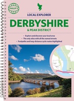 Wegenatlas Local Explorer Street Atlas Derbyshire and the Peak District | Philip's Maps
Who hasn't explored and enjoyed their surrounding area in recent years and come to appreciate what is on our respective doorsteps? Philip's have created this new series for walkers, cyclists …
 Wegenatlas Local Explorer Street Atlas Somerset | Philip's Maps
Prachtige wegenatlas van Somerset voor fietsers en wandelaars op een super gedetaileerde schaal! Met Lange afstandsfietsroutes en wandelroutes. Who hasn't explored and enjoyed their surrounding area recently and come …
 Wegenatlas Philip's Easy to Read Road Atlas of Britain 2025 | A3-Formaat | Paperback | Philip's Maps
With the detail you need at a size you can read, the latest edition of 2025 Philip's Big Easy to Read Road Atlas of Britain is super-clear, super-sized and bang …
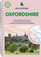 Wegenatlas Local Explorer Street Atlas Oxfordshire | Philip's Maps
Who hasn't explored and enjoyed their surrounding area in recent years and come to appreciate what is on our respective doorsteps? Philip's have created this new series for walkers, cyclists …
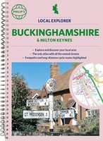 Wegenatlas Local Explorer Street Atlas Buckinghamshire and Milton Keynes | Philip's Maps
Philip's created this new series for walkers, cyclists and local explorers at a scale that provides greener options to uncover all the nature and hidden gems in your local area. …
 Wegenatlas Local Explorer Street Atlas Wiltshire and Swindon | Philip's Maps
Who hasn't explored and enjoyed their surrounding area in recent years and come to appreciate what is on our respective doorsteps? Philip's have created this new series for walkers, cyclists …
 Wegenatlas Local Explorer Street Atlas Nottinghamshire | Philip's Maps
Philip's created this new series for walkers, cyclists and local explorers at a scale that provides greener options to uncover all the nature and hidden gems in your local area. …
 Wegenatlas Navigator Scotland | A4-Formaat | Ringband | Philip's Maps
Duidelijke en gedetailleerde atlas van Schotland met enkele stadsplattegronden en register. Zuid Schotland is van schaal 1:100.000 en het noorden met schaal 1:200.000 Philip's Navigator Scotland is part of …
★★★★★ Wegenatlas Philip's Easy to Read Road Atlas of Britain 2025 | A4-Formaat | Ringband | Philip's Maps
"The detail you need at a size you can read". The latest 2025 Philip's Easy to Read Road Atlas of Britain from the best-selling Road Atlas range has over 350 …
 Wegenatlas Local Explorer Street Atlas Bristol and Bath | Philip's Maps
Who hasn't explored and enjoyed their surrounding area recently and come to appreciate what is on our respective doorsteps? Philip's have created this new series for walkers, cyclists and local …
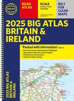 Wegenatlas Big Atlas Britain & Ireland 2025 | A3-Formaat | Ringband | Philip's Maps
Goede gedetailleerde wegenatlas van Groot-Brittannië, schaal 1:200.000 met een overzichtskaart van Ierland, schaal 1:1.000.000. Groot formaat, A3, en in ringband. 'Good balance between detail and clarity with excellent town maps' …
★★★★★ Wegenatlas Local Explorer Street Atlas Devon | Philip's Maps
Prachtige wegenatlas van Devon voor fietsers en wandelaars op een super gedetaileerde schaal! Philip's created this new series for walkers, cyclists and local explorers at a scale that provides …
 Wegenatlas Local Explorer Street Atlas Cheshire | Philip's Maps
Who hasn't explored and enjoyed their surrounding area recently and come to appreciate what is on our respective doorsteps? Philip's have created this new series for walkers, cyclists and local …
 Wegenkaart - landkaart Orkney Shetland | Philip's Maps
Whether it's the outstanding natural beauty, ancient sites or an activity-packed break calling you, the Philip's leisure and tourist map of Orkney and Shetland is all you need. Places of …
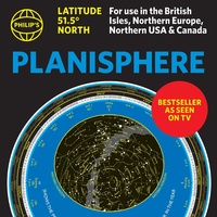 Sterrenkaart - Planisfeer Planisphere (Latitude 51. 5 North) | Philip's Maps
The first thing that every stargazer needs - an hour-by-hour and night-by-night moveable map of the stars 'A really useful bit of kit...a map of the night sky for any …
 Wegenatlas Great British Road Trip Atlas : Easy to Read Edition | Philip's Maps
Looking for inspiration to hit the open road? Fancy exploring the best routes Britain and Ireland has to offer? This user-friendly atlas is designed to make your road trips both …
 Wegenatlas Wales Navigator | A4 | Ringband | Philip's Maps
Ideaal voor fietsers! Explore the many attractions of Wales with this easy-to-use road atlas showing all the top spots. Easy-to-read mapping, superb extra detail, and a great lie-flat format make …
Laatste reviews

Op zich een goede kaart, maar het is eigenlijk gewoon een uitvergroting van de bekende 1:200.000-kaarten, dus weinig tot geen extra informatie. Wel wat duidelijker …
★★★★★ door FGM Ballhaus 13 mei 2026 | Heeft dit artikel gekocht
Duidelijke kaart, goed voor fietsen, iets minder voor wandelen door de schaal, maar er is heel weinig kaartmateriaal voor dit gebied dus daarom toch dik …
★★★★★ door FGM Ballhaus 13 mei 2026 | Heeft dit artikel gekocht
Fietskaart is een goede aanvulling op de Nederlandse fietskaarten, laat de Achterhoek zien maar ook een heel stuk Duitsland in (naar het oosten). Kwalitatief ook …
★★★★★ door FGM Ballhaus 13 mei 2026 | Heeft dit artikel gekocht
Keurig verpakt, snel verzonden. Boek voldoet aan mijn verwachtingen!
★★★★★ door Beatrice 12 mei 2026 | Heeft dit artikel gekocht