Winkelwagen
Geen items in winkelwagen
Ga naar winkelwagen
CNIG - Instituto Geográfico Nacional
Wegen-, wandel-, en topografische kaarten van elk deel van Spanje, zeer gedetailleerd
De CNIG is de Spaanse topografische dienst. Net als het kadaster in Nederland geven ze ook topografische kaarten uit op verschillende schalen. Zo heb je 50,000 topografische serie met zowat elk details van een heel klein gebied (deze zijn op bestelling leverbaar). Handig is de serie die per provincie een kaart heeft, de Mapa Provincial op een schaal van 1:200,000. Van de minder bekende streken in Spanje is dit vaak de enige goede kaart voor bijvoorbeeld fietsers: een redelijke duidelijke kaart met vooral topografische details.
Daarnaast geeft het CNIG een aantal goede wandelkaarten uit van de Nationale Parken in Spanje zoals het Parque Nacional Ordesa en Picos de Europa.
 Wegenkaart - landkaart Mapa Provincial Toledo | CNIG - Instituto Geográfico Nacional
 Wegenkaart - landkaart Mapa Provincial Lleida | CNIG - Instituto Geográfico Nacional
 Topografische kaart 1 Cariño | CNIG - Instituto Geográfico Nacional
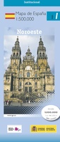 Wegenkaart - landkaart 1 Noroeste - Noordwest | CNIG - Instituto Geográfico Nacional
 Wandelkaart 1 Parques Nacionales Ordesa y Monte Perdido | CNIG - Instituto Geográfico Nacional
 Topografische kaart 1-IV Cariño | CNIG - Instituto Geográfico Nacional
 Topografische kaart 10 Ribadeo | CNIG - Instituto Geográfico Nacional
 Wandelkaart 10 Parques Nacionales Sierra Nevada | CNIG - Instituto Geográfico Nacional
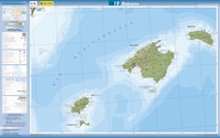 Wegenkaart - landkaart 10 Baleares - Balearen | CNIG - Instituto Geográfico Nacional
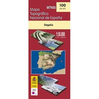 Topografische kaart 100 Degaña | CNIG - Instituto Geográfico Nacional
 Topografische kaart 1005 MT50 Osuna | CNIG - Instituto Geográfico Nacional
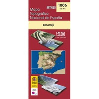 Topografische kaart 1006 MT50 Benamejí | CNIG - Instituto Geográfico Nacional
 Topografische kaart 1007 MT50 Rute | CNIG - Instituto Geográfico Nacional
 Topografische kaart 1008 MT50 Montefrío | CNIG - Instituto Geográfico Nacional
 Topografische kaart 1009 MT50 Granada Norte | CNIG - Instituto Geográfico Nacional
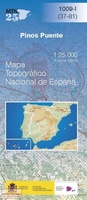 Topografische kaart 1009-I Pinos Puente | CNIG - Instituto Geográfico Nacional
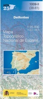 Topografische kaart 1009-II Deifontes | CNIG - Instituto Geográfico Nacional
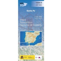 Topografische kaart 1009-III Santa Fé | CNIG - Instituto Geográfico Nacional
 Topografische kaart 1009-IV Granada Norte | CNIG - Instituto Geográfico Nacional
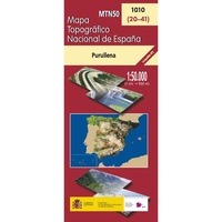 Topografische kaart 1010 MT50 Purullena | CNIG - Instituto Geográfico Nacional
- 1
- 2
- 3
- Volgende >>
- 28
Laatste reviews

Leuk informatief boek, precieze route goed weergegeven.
Keurig verpakt, snel verzonden. Boek voldoet aan mijn verwachtingen!
★★★★★ door Beatrice 12 mei 2026 | Heeft dit artikel gekocht
Top service en snelle verzending
Zoals altijd een goede ervaring en een perfecte snelle levering
★★★★★ door Perry Miog 12 mei 2026 | Heeft dit artikel gekocht
Mooie fietskaarten snelle verzending
Altijd weer fijn om te vinden wat ik zoek. Ruim aanbod van fietskaarten.
★★★★★ door Trudy 11 mei 2026 | Heeft dit artikel gekocht
Prachtige wandelingen, duidelijk beschreven
Handig formaat wandelgidsje met schitterende wandelingen in noord Portugal. De duidelijke beschrijvingen zijn handig zowel voor het plannen van de wandeling, bij het vinden van …
★★★★★ door Annemieke 11 mei 2026 | Heeft dit artikel gekocht